



Page 56 of 585
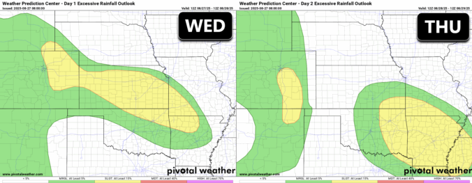
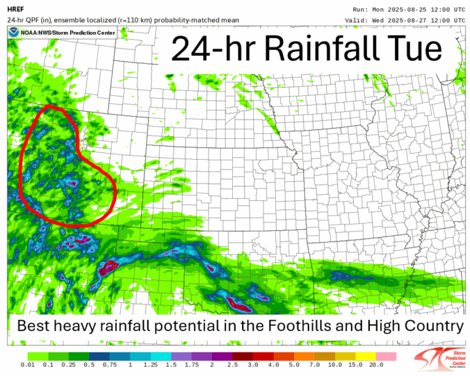
The unsettled weather pattern isn’t done with us just yet—and that’s good news for the rain-starved Front Range. While recent days have underdelivered in most areas, this week still holds promise for more moisture and continued cool weather. We break down when and where the best rain chances will line up this week, why optimism is cautious, and what to watch for as the pattern turns warmer and drier heading into Labor Day Weekend.
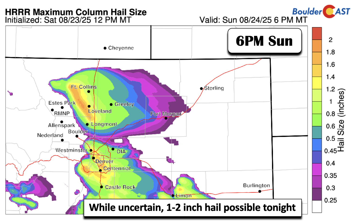
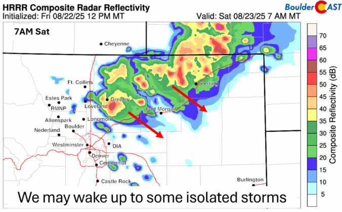
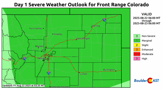
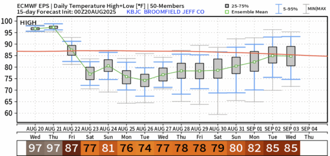
Thursday marks the final chapter of our late-summer heatwave, with record-challenging highs expected across the Front Range — but big changes are on the horizon. A cold front arrives tonight, ushering in cooler temps, a return of thunderstorms, and a wetter, more active pattern that could stick around well into next week. From sizzling heat to damaging hail, monsoonal moisture, and a long stretch of below-normal highs, today’s forecast update has a little bit of everything.

Live View of Boulder

Current Conditions

Live Radar

Latest Smoke Forecast

Recent Premium Posts

BoulderCAST Daily – Sun 09/27/26 | A Mild Sunday, Followed by Wet Weather This Week
☀️ Mild Sunday — Highs well into the lower 80s with a few …
BoulderCAST Daily – Sat 09/26/26 | Quiet Weather, But Wet Weather Is Brewing Next Week Tied To A Tropical System
☀️ Weekend calm — Weather is quiet this weekend in the lower 80s …
BoulderCAST Daily – Fri 09/25/26 | A Stormy Friday, Followed by a Quiet Weekend
🌧️ Friday storms — Another wave brings afternoon scattered showers and storms ☀️ …
3-Day Forecast

Trending Content



© 2026 Front Range Weather, LLC