



Page 255 of 586
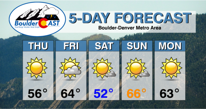
⦁❶⦁ A cold front has moved through overnight with highs today below normal in the 40’s
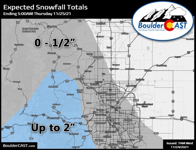
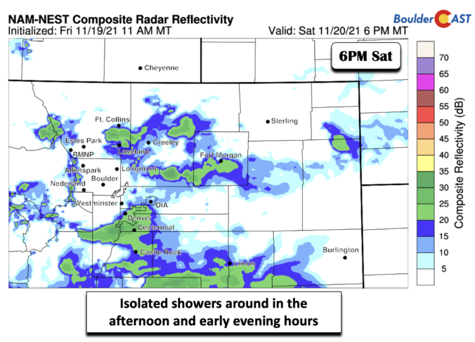
⦁❷⦁ Spotty rain/snow showers developing late this afternoon into the evening
⦁❸⦁ Light accumulations possible mainly in the Foothills and Palmer Divide
⦁❹⦁ Dry and seasonal for Thanksgiving Day with highs in the 50’s

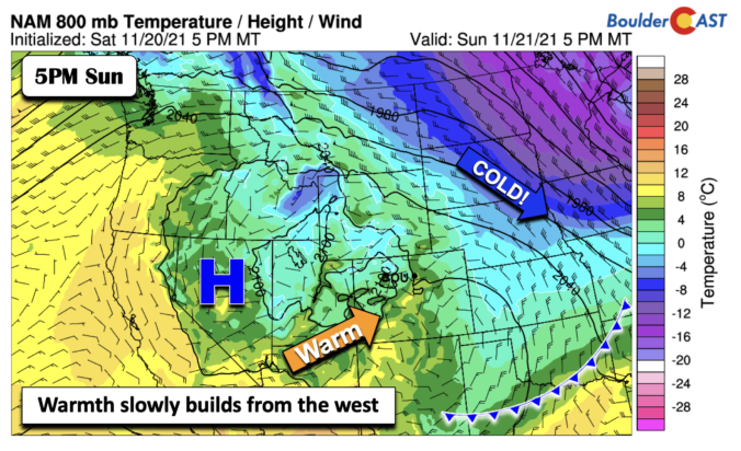
Warm weather and sunshine will start out our holiday week as temperatures reach comfortably into the 60’s. A strong cold front will usher in much colder temperatures around midweek, along with a slight chance of snow. Early indications are that Thanksgiving will be seasonal and dry. A gradual warming trend is in-store for the latter half of the week and into the weekend with no major storm systems anywhere to be found in the pipeline.
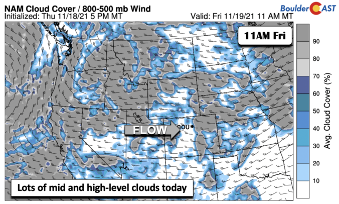
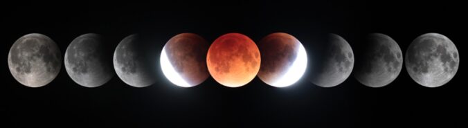
A near-total lunar eclipse is set to take place late Thursday night into Friday morning when the Earth’s shadow will cast onto the full moon. But, will any of us in the Front Range be able to see it? Here’s the latest weather forecast.

Live View of Boulder

Current Conditions

Live Radar

Latest Smoke Forecast

Recent Premium Posts

BoulderCAST Daily – Sat 10/10/26 | Mild Temperatures Continue
🌤️ Continued mild this weekend: Highs remain in the low to mid-80s, still …
BoulderCAST Daily – Fri 10/09/26 | Mild and Quiet Weather Through the Weekend
🔥 Record October heat: Highs may approach record highs today in the middle …
This Weekend in Colorado Weather: 80s Continue With a Big Western Storm Brewing, But Colorado’s Role Next Week Remains Unclear
🌤️ Summer Preview Continues: Warm and dry weather hangs on through the weekend …
3-Day Forecast

Trending Content



© 2026 Front Range Weather, LLC