



Page 222 of 586
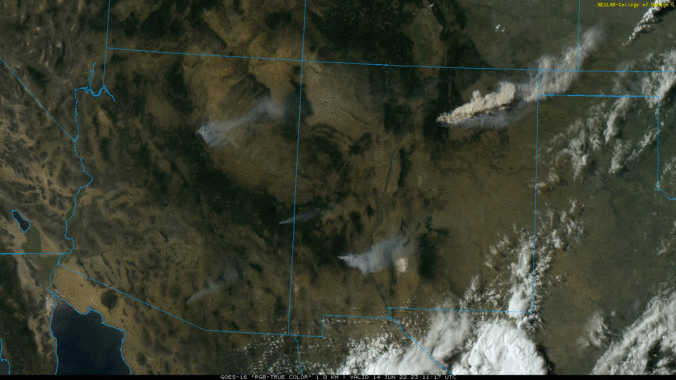
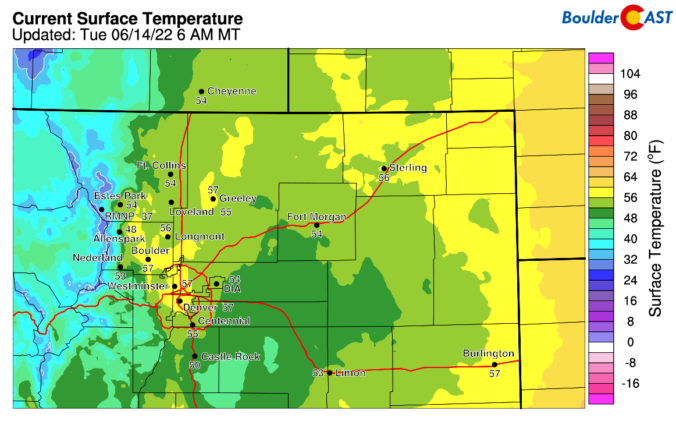
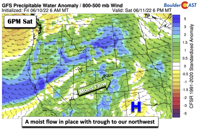
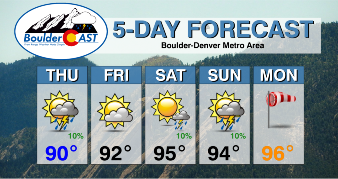
The ongoing heatwave will last through Monday with near-record high temperatures expected once again. A welcomed cold front Monday night will offer a reprieve from the heat for a couple days, but the sizzling temperatures return in full-force later in the week. We’ll largely be dry the entire week ahead. However, signs are pointing towards a surge of subtropical moisture during the upcoming weekend into the Four Corners region. This will bring the chance of late-day thunderstorms back into the Front Range.
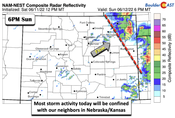

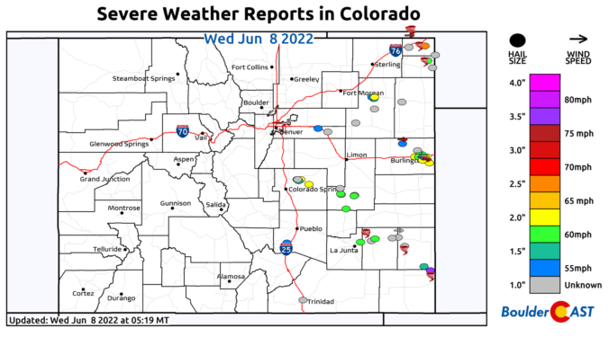
⦁❶⦁ Tuesday was an active severe weather day across Colorado with widespread very large hail, 75+ MPH wind gusts, and numerous tornadoes reported
⦁❷⦁ Today will be mostly sunny and seasonal with highs around 80 degrees
⦁❸⦁ A heatwave is taking shape tomorrow and will last into early next week with daytime highs well into the 90s expected

Live View of Boulder

Current Conditions

Live Radar

Latest Smoke Forecast

Recent Premium Posts

BoulderCAST Daily – Fri 10/09/26 | Mild and Quiet Weather Through the Weekend
🔥 Record October heat: Highs may approach record highs today in the middle …
This Weekend in Colorado Weather: 80s Continue With a Big Western Storm Brewing, But Colorado’s Role Next Week Remains Unclear
🌤️ Summer Preview Continues: Warm and dry weather hangs on through the weekend …
BoulderCAST Daily – Wed 10/07/26 | Colorado Remains Stuck in a Remarkably Warm October Pattern
🔥 Record October heat: Boulder hit a record 89° on Tuesday, Denver tied …
3-Day Forecast

Trending Content



© 2026 Front Range Weather, LLC