



Page 22 of 584
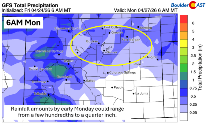
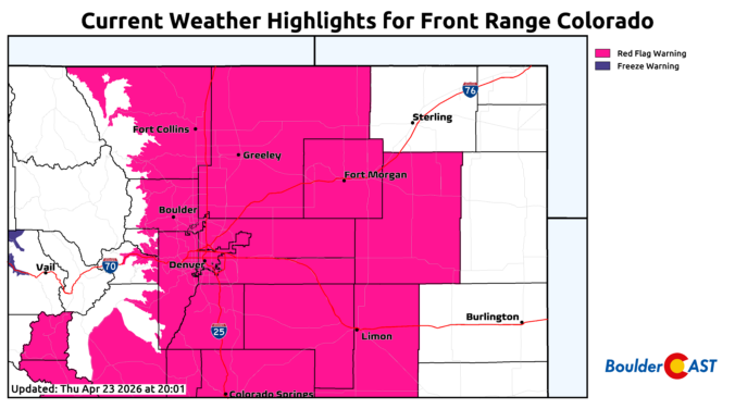
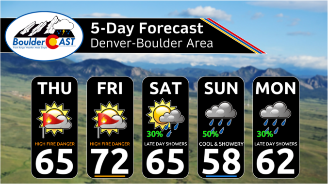
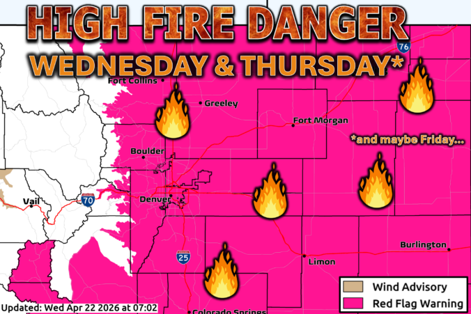
*Premium* This Weekend in Colorado Weather: Short-term fire concerns spike ahead of a wetter weekend
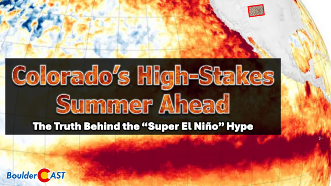
Colorado headlines have been buzzing about a looming “Super El Niño,” but the story behind the hype is far more layered than the headlines let on. Before leaning into the dramatic graphics and sweeping claims, it’s worth unpacking where this narrative actually came from and why one overzealous model run has taken on a life of its own. More importantly, we must consider what this all really means for our state as we limp into summer with record‑low snowpack, deepening drought, and a fire season that has already been sharpening its teeth. The truth is far more nuanced than the current online discourse suggests.
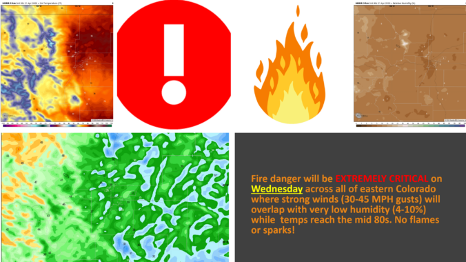
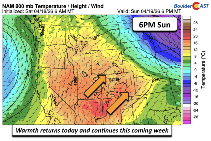
The atmosphere is gearing up for a dramatic mid‑week pivot, and the Front Range is about to feel every bit of it. We start the week under a warm, bone‑dry ridge that will send temperatures soaring and fire danger spiking—especially by Wednesday, when downslope winds and exceptional dryness are set to collide. But just as quickly, the pattern will flip. A pair of incoming troughs will drag us into a cooler, unsettled stretch of weather heading into the weekend, with several chances for much‑needed moisture and even the prospect of a few snowflakes mixing in at times. It’s a true tale of two patterns this week! Read on for all the details.

Live View of Boulder

Current Conditions

Live Radar

Latest Smoke Forecast

Recent Premium Posts

BoulderCAST Daily – Sun 09/27/26 | A Mild Sunday, Followed by Wet Weather This Week
☀️ Mild Sunday — Highs well into the lower 80s with a few …
BoulderCAST Daily – Sat 09/26/26 | Quiet Weather, But Wet Weather Is Brewing Next Week Tied To A Tropical System
☀️ Weekend calm — Weather is quiet this weekend in the lower 80s …
BoulderCAST Daily – Fri 09/25/26 | A Stormy Friday, Followed by a Quiet Weekend
🌧️ Friday storms — Another wave brings afternoon scattered showers and storms ☀️ …
3-Day Forecast

Trending Content



© 2026 Front Range Weather, LLC