



Page 200 of 586
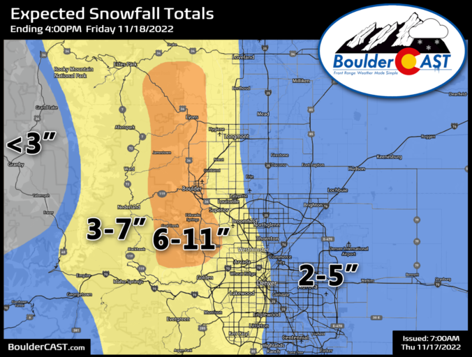
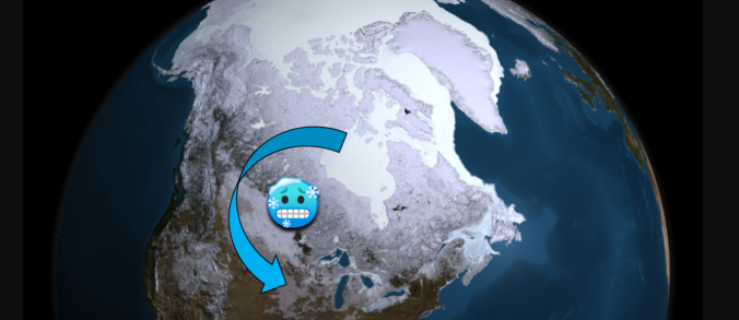
After the surprising minor wallop of snow earlier this week and a brief reprieve on Wednesday, things turn wintry again quickly Thursday into Friday as an Arctic cold front blasts across the Front Range. Shallow but prolonged upslope will produce a period of light, fluffy snow accompanied by bitter cold temperatures. The area in and around Boulder is most favored during this event. In this winter weather update, we discuss the timing of when snow starts and stops, how much snow to expect, which commutes will be impacted most, and just how cold it will get.
Premium Storm Update (11/17/22 7:00AM): Overnight model runs have stuck to their guns and forecast confidence remains high regarding the incoming fluffy snow that will develop this morning and continue roughly 24 hours into early Friday! We provide a brief update on the timing of the snow, check in on the all the overnight model runs, and discuss a few changes we’re making to our snowfall forecast amounts — hint: they are going up a tad! READ HERE

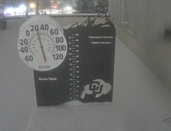
A few last minute changes in some of the short-range models meant the accumulating snowfall last night largely fell unexpectedly across the area. Snow totals were boosted by exceptionally high snow-to-liquid ratios of greater than 25-to-1 in some cases. Let’s take a look at the snow totals across the Front Range!
A cold northwest flow persists through the extended period which will favor well below normal temperatures all week long in the Front Range. We are watching a few shots of snow in this flow as well, with the best chance coming late in the week as upslope and potential jet-forced snow bands come together. Read on for more details and what weather we can expect this week.

Live View of Boulder

Current Conditions

Live Radar

Latest Smoke Forecast

Recent Premium Posts

BoulderCAST Daily – Wed 10/07/26 | Colorado Remains Stuck in a Remarkably Warm October Pattern
🔥 Record October heat: Boulder hit a record 89° on Tuesday, Denver tied …
BoulderCAST Daily – Tue 10/06/26 | October Heatwave Keeps Its Grip on the Front Range All Week Long
🔥 Record October heat — Boulder hit 89°F yesterday (just shy of the …
BoulderCAST Daily – Sun 10/04/26 | The Persistent 80s and Continuation of Summer-Like Temperatures
🌡️August-like temperatures: Temperatures hover in the 80s throughout the upcoming week, prolonging the …
3-Day Forecast

Trending Content



© 2026 Front Range Weather, LLC