



Page 179 of 586
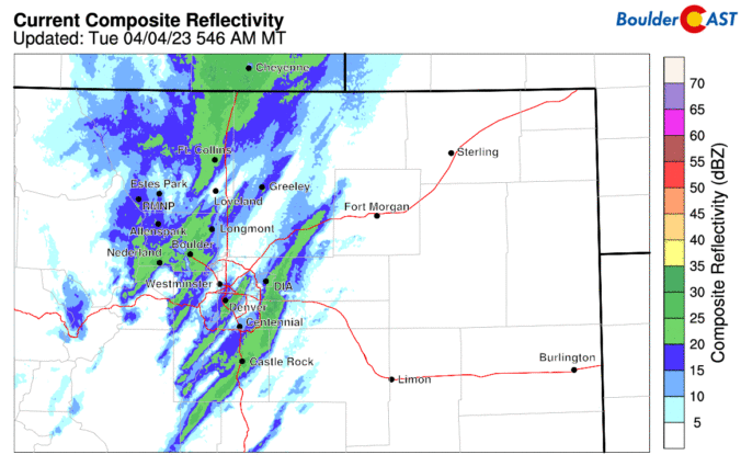
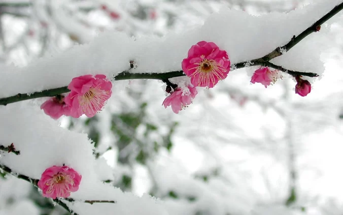
After another glorious springlike Monday across the Front Range, much colder and gloomier weather will arrive early Tuesday as our next storm system enters the picture. While we will sadly be missing out on the feet of snow and blizzard conditions hitting Wyoming, there are some snowflakes in the forecast. Let’s take a look at the timing of the snow, the most likely snowfall amounts, and the potential travel impacts as winter weather returns to the area.
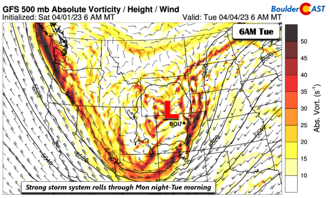
Following another elevated fire danger day on Monday, a late-season snowstorm will trek from the Rockies into the Dakotas in the coming days. While the brunt of this massive winter storm will be felt in the Mountains and well to our north in Wyoming, there are enough ingredients coming together to bring light snow to the Front Range during this time as well. Another chance of snow may develop on Wednesday. Unseasonably cold temperatures will transition back above normal by week’s end with a warm and dry outlook shaping up for much of the extended.

Live View of Boulder

Current Conditions

Live Radar

Latest Smoke Forecast

Recent Premium Posts

BoulderCAST Daily – Tue 10/06/26 | October Heatwave Keeps Its Grip on the Front Range All Week Long
🔥 Record October heat — Boulder hit 89°F yesterday (just shy of the …
BoulderCAST Daily – Sun 10/04/26 | The Persistent 80s and Continuation of Summer-Like Temperatures
🌡️August-like temperatures: Temperatures hover in the 80s throughout the upcoming week, prolonging the …
BoulderCAST Daily – Sat 10/03/26 | Quiet and Mild in Colorado but Active in the Tropics
☀️ Quiet and dry weather: Highs in the 80s continue through nearly the …
3-Day Forecast

Trending Content



© 2026 Front Range Weather, LLC