



Page 159 of 585
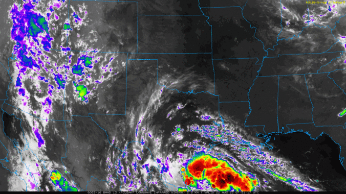
The week commences on the hot and dry side as a very strong and anomalous ridge over the central United States keeps much of Colorado locked into a scorching heatwave. Remnants from a tropical cyclone over the western Gulf of Mexico may influence our region later in the week as it interacts with a southward moving cold front. This should favor cooler temperatures and increasing chances for thunderstorms by the latter part of the week into the weekend. Read on for all the details of yet another semi-active weather week for us.
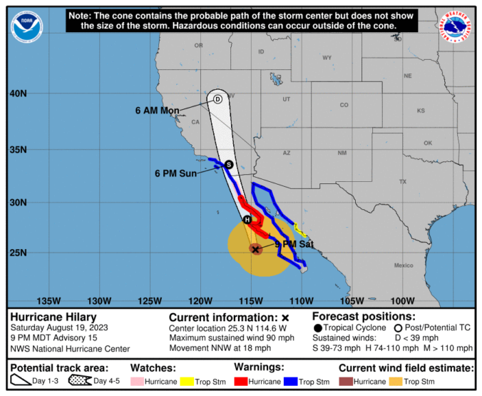
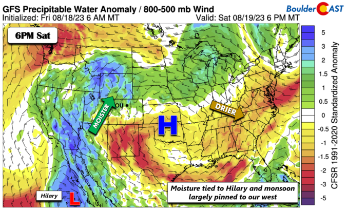
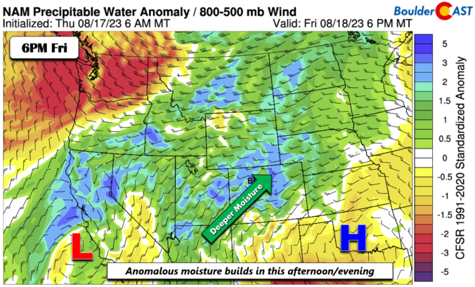
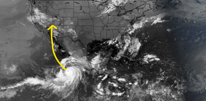
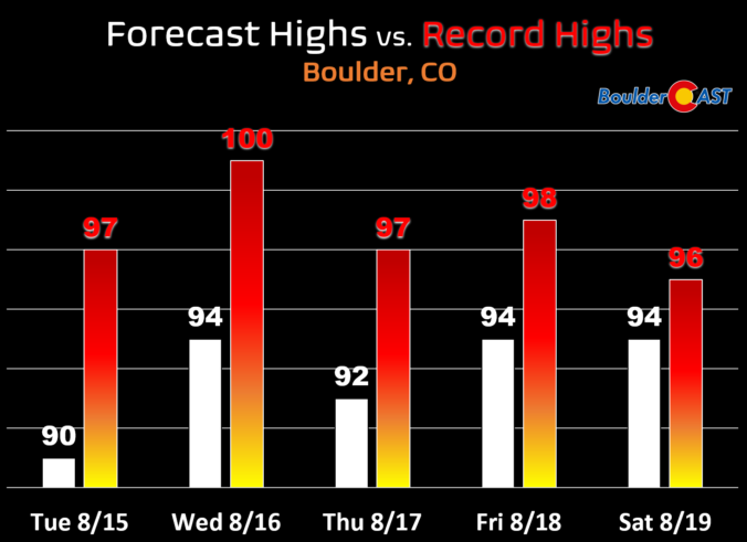
A ridge of high pressure will remain in control of Colorado through the extended and even intensifies this weekend keeping us mostly dry and hot. The best chance of rain in the pipeline comes on Friday, but only limited rainfall is expected from storms due to a lack of moisture. Additionally, the remnants of major Hurricane Hilary in the Eastern Pacific will arrive to the USA this weekend but stay well to the west of Colorado unfortunately (boo!). Things dry out further this weekend into early next week as temperatures once again make a run towards triple digits in the Denver Metro area.


Live View of Boulder

Current Conditions

Live Radar

Latest Smoke Forecast

Recent Premium Posts

BoulderCAST Daily – Sun 10/04/26 | The Persistent 80s and Continuation of Summer-Like Temperatures
🌡️August-like temperatures: Temperatures hover in the 80s throughout the upcoming week, prolonging the …
BoulderCAST Daily – Sat 10/03/26 | Quiet and Mild in Colorado but Active in the Tropics
☀️ Quiet and dry weather: Highs in the 80s continue through nearly the …
BoulderCAST Daily – Fri 10/02/26 | A Mild Weekend Across the Front Range
☀️ Quiet and dry weather: A ridge of high pressure will promote dry …
3-Day Forecast

Trending Content



© 2026 Front Range Weather, LLC