


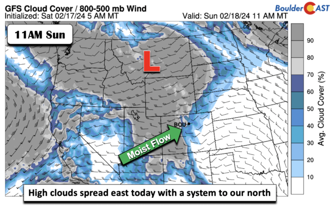
Largely near to above normal temperatures will be the story for the upcoming week, with even some 60s on Tuesday as high pressure and downslope flow dominate our weather pattern. However, we are watching a few systems that will track through Colorado in the coming days — one from the southwest around midweek and a second from the northwest on Friday. The latter has more uncertainty but the former also shares in a fair bit of spread on potential rain/snow impacts. Read on as we discuss in detail our weather for the upcoming week.

Page 133 of 585
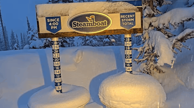
Well, most of us are waking up and having to shovel snow for the third Saturday in a row! This tiny recap post covers our latest winter storm, including a map of the verified snowfall totals and where we stand season-to-date against climatology.

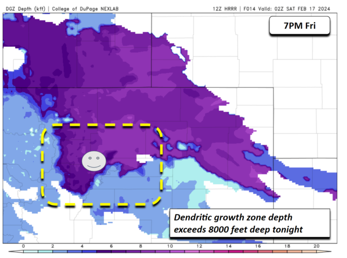
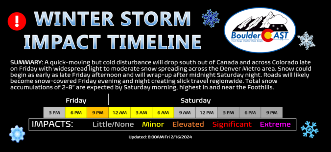
After a rather quiet week with seasonal temperatures, winter weather will return to the Front Range for the third weekend in a row as colder air and a quick shot of light accumulating snow arrive Friday evening and night. We discuss the atmospheric setup about to unfold, the potential snowfall amounts across the Metro area and Foothills, as well as when travel will be most impacted.
Update (Friday 2/16/24 8:00AM): We’re now seeing a better signal of stalled convergence/jet-forcing briefly sitting over the Denver area Friday evening, combined with a continued expectation for very fluffy snow ratios. Thus, we’ve bumped up snow amounts across the Metro area. Please check the updated snowfall map and storm impact timeline near the end of this post. We talk about this shift and much more in Friday morning’s Premium discussion HERE.

Live View of Boulder

Current Conditions

Live Radar

Latest Smoke Forecast

Recent Premium Posts

BoulderCAST Daily – Sat 10/03/26 | Quiet and Mild in Colorado but Active in the Tropics
☀️ Quiet and dry weather: Highs in the 80s continue through nearly the …
BoulderCAST Daily – Fri 10/02/26 | A Mild Weekend Across the Front Range
☀️ Quiet and dry weather: A ridge of high pressure will promote dry …
This Weekend in Colorado Weather: Autumn on Hold as Warm, Dry Pattern Dominates Early October
🌧️ Southern Colorado drenched, Front Range bone‑dry: The upper‑low parked in SE Colorado …
3-Day Forecast

Trending Content



© 2026 Front Range Weather, LLC