
With the arrival of Memorial Day Weekend, summer is unofficially set to begin! The weather will follow suit across the Denver Metro area with temperatures heating up into the 90’s. There will also be a few chances for rain. Read our holiday weekend forecast for all the details.
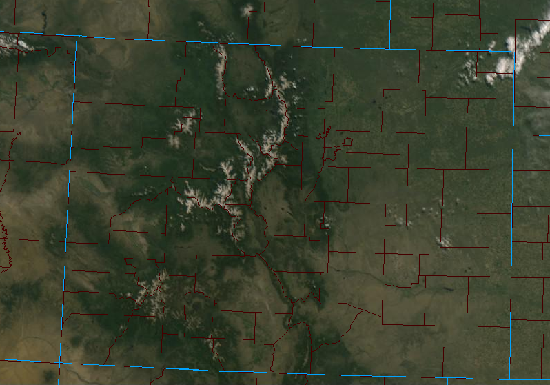
Those hoping to flawlessly execute outdoor plans over the long weekend will be happy to know that Mother Nature will actually be cooperating this year with a ridge of high pressure remaining in place for a bulk of the upcoming weekend. The crystal clear skies this morning allowed for GOES-East to get a marvelous unobstructed view of our region (for the first time in a while). As you can see, our peaks are still donning a fair amount of snowpack. Also there is a clear difference in overall greenness between happy northern Colorado and drought-riddled southern Colorado!
The 500 mb map below shows the ridge’s position as of Thursday morning spanning from Texas into the Pacific Northwest. Also of slight importance is the low pressure nearing the northern California coast.
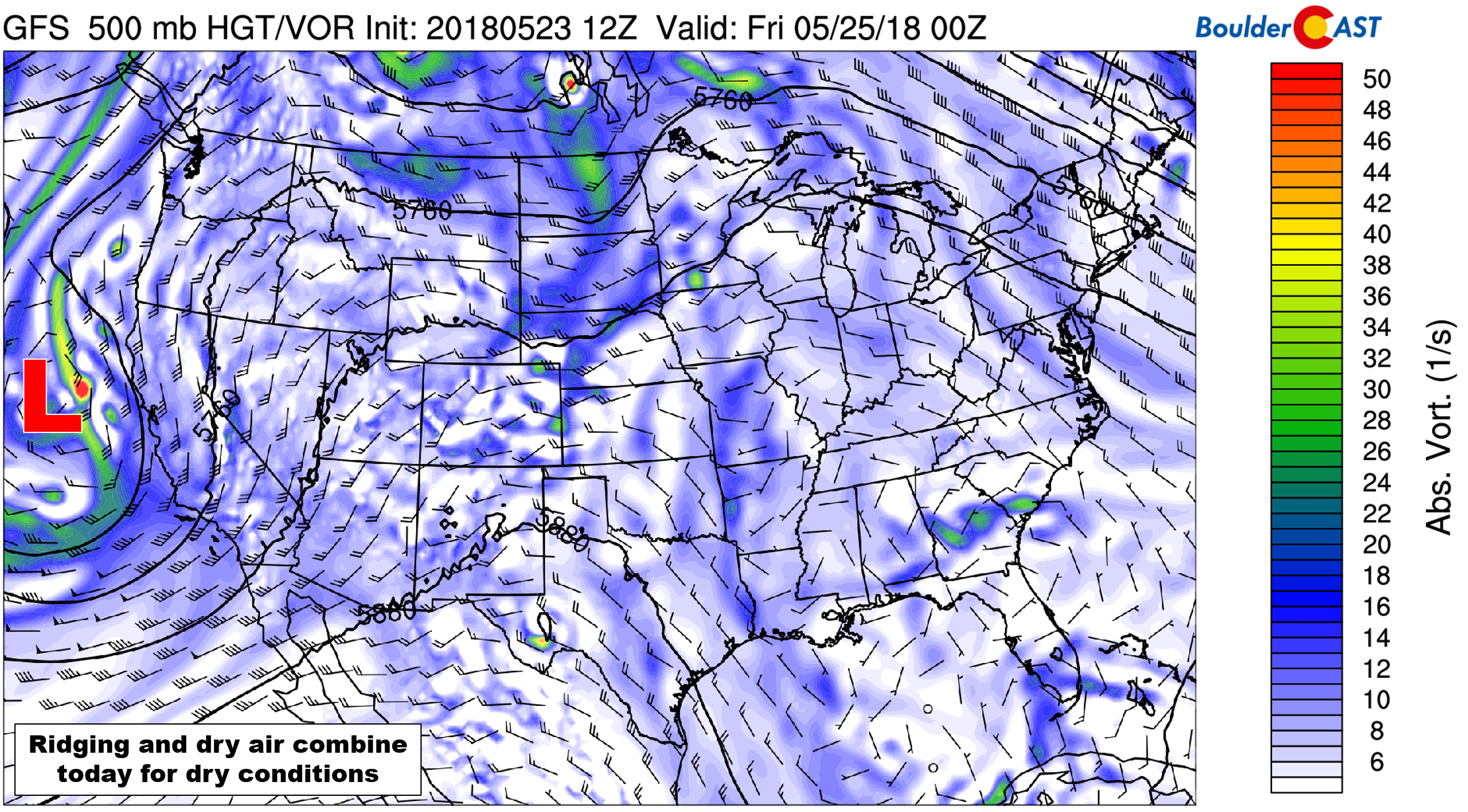
GFS 500 mb vorticity forecast map for Thursday evening.
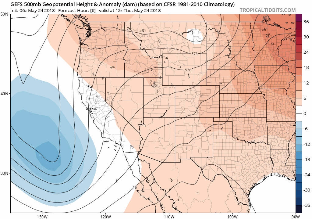
The GFS ensemble forecast animation below of 500 mb height anomaly covers Thursday through Monday. Pay particularly close attention to the ridging across Colorado and the sharp turn to southerly flow into the region through the weekend as the low pressure system approaches. This shift is a major component of the expected warm-up.
Back to that low pressure. It’s been rather remarkable how similarly every single storm system has been behaving over the last month….
- Storm comes ashore in California with decent speed
- Storm moves into Nevada and Utah, then stalls for several days
- Storm weakens and eventually meanders northward into Montana or Canada
The incoming storm by all accounts will follow this trend moving into early next week. At this time, we do not expect major impacts to the Front Range from the storm as much of the energy will remain too far north and west. As mentioned, though, we will cash in to some degree via southerly flow, leading to above normal temperatures throughout the holiday weekend. Temperatures will be in the 80’s Thursday and Friday, with the potential for record heat on Saturday in the low to middle 90’s. Saturday will be an excellent day to head for the Mountains to escape the heat.
A slight uptick in moisture and the progression of the ridge eastward will help to destabilize the atmosphere Sunday and Monday. There probably won’t be enough energy for anything widespread, but we do expect isolated to widely scattered storms for the Metro area both days, especially across the higher elevations and north of Denver. Monday will have a slightly better chance of rain compared to Sunday.
For those competing in the annual Bolder Boulder, Monday morning will have excellent racing conditions. Expect clear skies in the morning with temperatures in the low to middle 50’s…quickly rising into the 60’s through the morning and then 70’s by lunchtime. Thunderstorms will be possible during the afternoon, but likely will be fairly scattered.
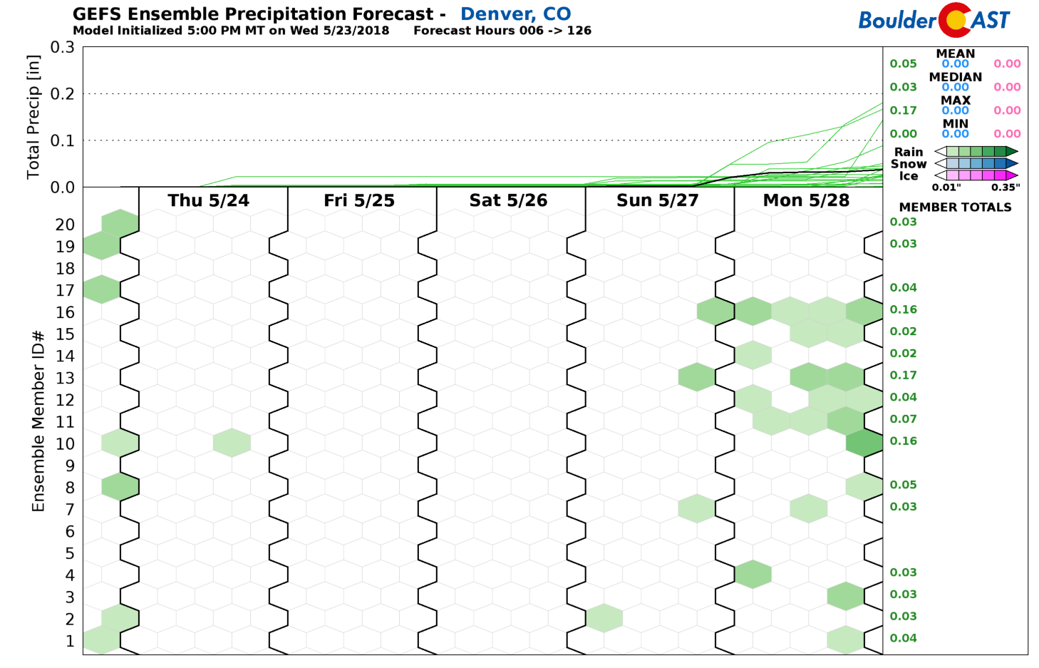
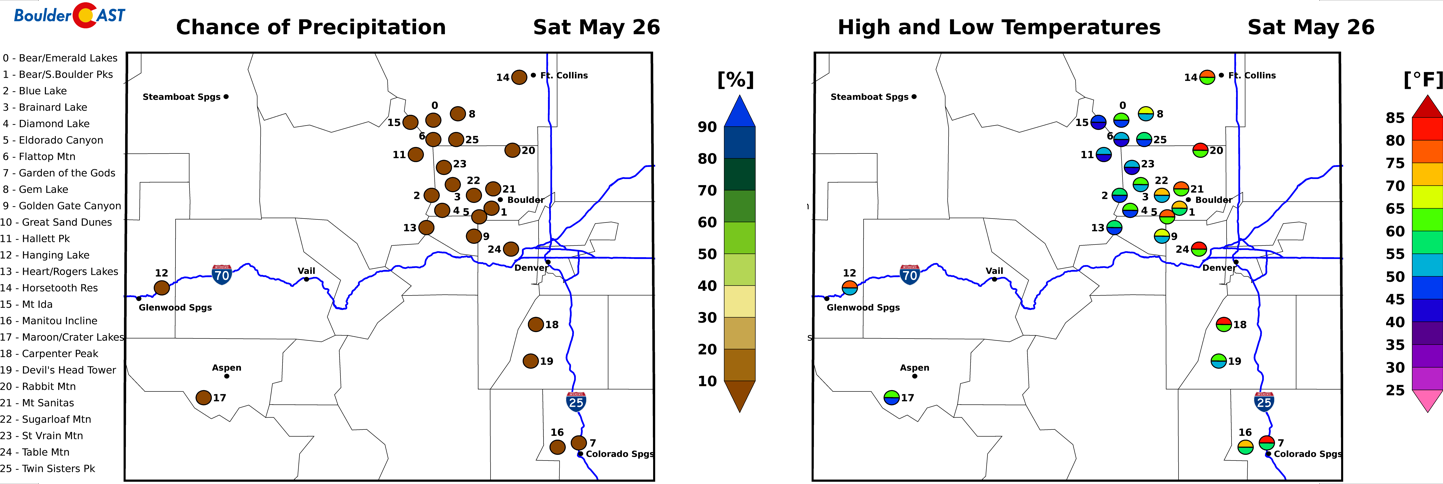
GFS ensemble precipitation forecast through Monday. A fairly dry weekend is inbound!
Whether doing yard work, hiking, planting the garden or camping, it’s going to be a great weekend for the outdoors. Enjoy it!
Forecast Specifics:
Thursday: Morning sun, some afternoon clouds. Highs in the middle 80’s.
Friday: Mostly sunny and warm. Highs in the upper 80’s.
Saturday: Hot with increasing clouds through the day. Highs in the low 90’s.
Sunday: Mostly sunny with a slight chance of afternoon and evening thunderstorms, mainly north of the Metro area. Highs in the middle 80’s.
Monday: Morning sun with increasing clouds and a chance of afternoon and evening thunderstorms. Highs near 80 degrees.
.
Share this forecast:
.


You must be logged in to post a comment.