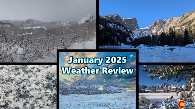
Hot on the heels of an extremely warm and dry end to 2024, January landed on the complete opposite end of the spectrum with well above normal snowfall and very cold conditions across much of Colorado, including here in Boulder. Here’s a quick and colorful graphical recap of our weather during January and how it relates to climatology.
Category: Verification (Page 5 of 51)
These posts take a look back at recent weather events, like snow storms or severe weather outbreaks, and evaluate how the forecast played out. We evaluate how well the models predicted what actually occurred, and offer insight into what can be learned and applied moving forward.
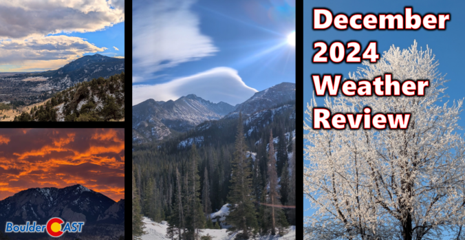
After a definitively wet November in the Front Range, Mother Nature did a complete one-eighty with December landing one of the warmest and least snowy on record in many locations, topped off with our first rainy Christmas in 82 years! Here’s a quick and colorful graphical recap of our weather during December and how it relates to climatology.
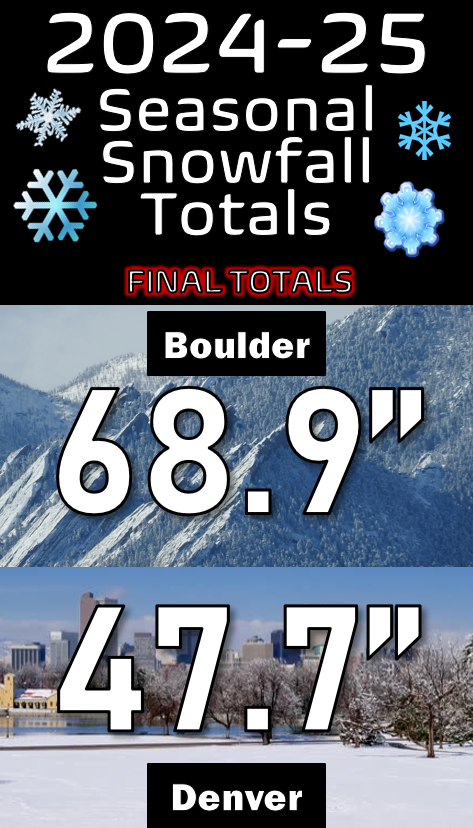
January is typically our driest month of the year, but in 2025 it’s been anything but as another round of fluffy snow dumped on the Front Range Friday night into Saturday. We briefly review both the snow totals from this single storm and the seasonal ones.
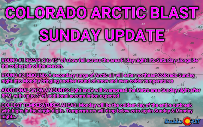
Arctic Blast Sunday Update: One round down, one to go! More snow & even colder temperatures lie ahead
As of Sunday afternoon, skies are sunny and Round #1 of our Arctic Blast is in the books. This wave, which was always more about the white stuff than the extreme chill, delivered several fluffy inches of snow to the entire area, even over a foot in parts of Boulder County. Despite how nice it looks outside now, we are closely tracking Round #2 arriving Sunday evening into Monday with even colder air and another pulse of fluffy snowfall. Let’s take a look.
For the third time in six days, a weak storm system brought light snow to the Denver Metro area. We briefly review both the snow totals from this single storm and seasonally.
Light snow fell once again across the entire Front Range Monday night into Tuesday, with most locations picking up 2 to 5 inches of fluffy accumulation, a tad less than forecast in some spots. We briefly review both the snow totals from this single storm and the seasonal ones.
The entire Front Range woke up to picturesque conditions today on Sunday as overnight light snow and freezing fog coated nearly every surface in a dusting of ice crystals — turning local communities into unique snow globes. We review the snow totals from the wintry event, one which produced at most a dusting in the Denver Metro area, but up to several inches in the Mountains and areas to the east.
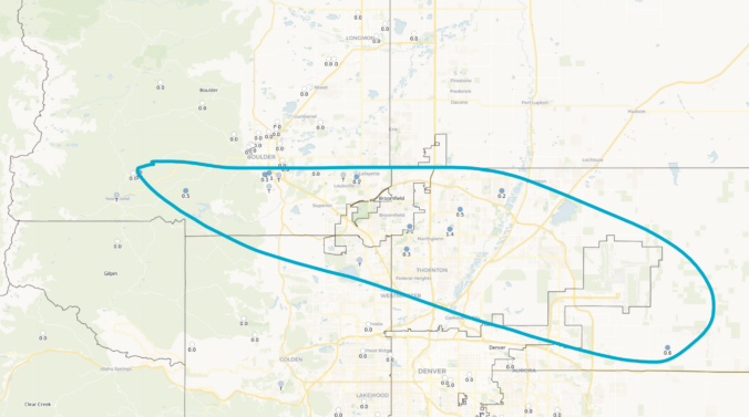
*Premium* BoulderCAST Daily – Thu 01/01/25| A cool & sunny start to 2025, plus a look at last night’s rogue snow shower and viewable Northern Lights
© 2025 Front Range Weather, LLC

