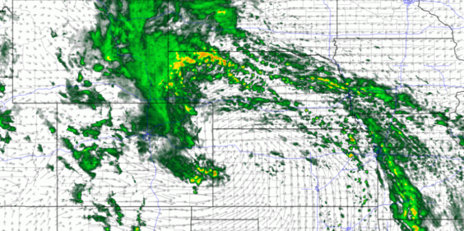
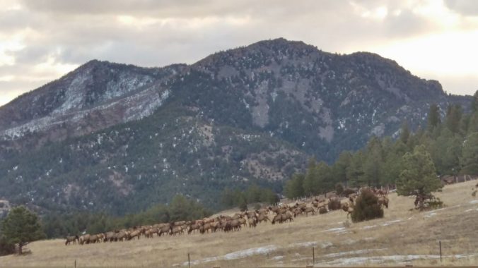
Read our brief recap of Thursday’s rain, snow and lightning. We also discuss our thoughts on a potential wintry event Sunday into Monday.
Category: Verification (Page 39 of 53)
These posts take a look back at recent weather events, like snow storms or severe weather outbreaks, and evaluate how the forecast played out. We evaluate how well the models predicted what actually occurred, and offer insight into what can be learned and applied moving forward.
Thanks to several occurrences of localized jet-forced banded snow, the month of February saw stark differences in snow amounts across the Metro area. We recap the month and also take a look at the current standings in the 3-Month Snowfall Forecast Contest.
Just as forecast, the overhead jet stream delivered heavy banded snowfall to the Boulder area Monday evening. We review the evolution of the storm and discuss the snow totals from across the region.
In the wake of last night’s snow, we start out the shortened work week on the nippy side with an Arctic airmass entrenched across the Front Range. Temperatures may not get above freezing until Friday. We are also watching three (yes three!) more chances for snow this week, especially on Friday, with the approach of another potent trough.
We’re tracking two wintry systems for the week ahead. The first one will mainly impact the higher elevations on Monday. The second one is scheduled to arrive on Thursday with perhaps better chances for snow across the Denver Metro area. Read on as we detail for the forecast for the next five days.
Saturday’s snow storm amounted to 5.7″ in Boulder and 2.2″ in Denver.
A mix bag of wintry weather will be present across the Metro area through Saturday evening. Read on as we discuss how things will play out and provide our snowfall forecast for Saturday.
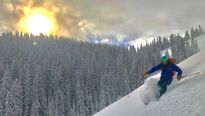
Beginning last Friday, snowfall has been falling intermittently across the Mountains of Colorado resulting from several shortwaves and pockets of moisture hanging out in the northwest flow. The most recent pulse which occurred from Monday morning into Tuesday afternoon generated snow totals of 7 to 15″ across much of the High Country. For the first time this winter, skiing was actually decent on Tuesday! Despite this, snowpack remains disconcertingly low statewide. We check-in on the status of our snowpack and provide our thoughts on another system eyeing the Front Range this weekend.

Live View of Boulder

Current Conditions

Live Radar

Recent Premium Posts

BoulderCAST Daily – Tue 06/02/26 | Storms Reload This Afternoon, But With Noticeably Less Bite
❄️ Monday delivered lots of hail to northeast Colorado, with one supercell tracking …
BoulderCAST Daily – Sun 05/31/26 | Dry and warm today but rain chances increase this week
🌦️ Overall dry and warm Sunday, though cannot rule out a very widely …
BoulderCAST Daily – Sat 05/30/26 | A stray shower today as most activity resides well east of Denver
🌦️ Spotty showers today, mainly well east of the Denver Metro area, where …
3-Day Forecast

Trending Content

© 2026 Front Range Weather, LLC