



More white stuff is in the forecast for early Thursday morning. Unfortunately, poor timing could interrupt the morning commute. We discuss why this snow is “sneaky”, the timeline for the event, and potential snow amounts.
Category: Verification (Page 40 of 61)
These posts take a look back at recent weather events, like snow storms or severe weather outbreaks, and evaluate how the forecast played out. We evaluate how well the models predicted what actually occurred, and offer insight into what can be learned and applied moving forward.
A review of the snow totals from Monday night into Tuesday morning.
We hope you had a great New Year’s Eve and managed to stay warm! Despite snow falling for more than eightteen hours straight in many locations, it didn’t add up to all that much, or overly impact holiday travel. We review the snow totals from across the Front Range and when the bitter cold will break.
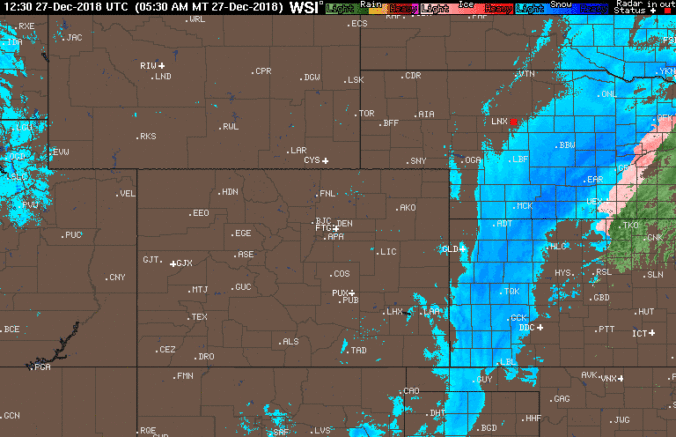
We discuss the strong snow storm that eluded the Front Range, the very cold temperatures expected the next few days, and when our next chance of snow will be.

A “perfect storm” of ingredients are coming together across Colorado to produce gusty winds for the Front Range on Wednesday. When will the winds arrive and how strong will they be? Read on to find out. We also discuss snow amounts in the Mountains and our latest thoughts on the potential for a White Christmas in Denver.

The weather this week will be nearly a mirror-image of last week. Quiet conditions statewide early on will fade slowly, with the potential for heavy mountain snow later in the week. Read on for our complete forecast.
Live Radar

Trending Content


Recent Premium Posts

BoulderCAST Daily – Wed 11/11/26 | Mild Days Ahead, But There Are Signs of a More Active November Soon
☀️ Warm & Quiet — Sunshine dominates through Thursday with highs rising from …
BoulderCAST Daily – Tue 11/10/26 | Clouds Increase Today, But Colorado’s Dry Pattern Rolls On
🌤️ A Few More Clouds Today – Mountain wave clouds are developing along …
BoulderCAST Daily – Sun 11/08/26 | Mild November Weather Continues, Even With A Cold Front Midweek
☀️ Sunny and warm for early November – Temperatures in the middle to …
© 2026 Front Range Weather, LLC