In this final week of summer, Front Range Colorado will experience a mix of weather conditions. We’re tracking two main chances for rain in the extended: a quick shot of severe thunderstorms Tuesday afternoon and then widespread upslope showers by Friday or Saturday as autumn weather arrives right on schedule. The week will stay warm with temperatures in the 80s, but cooler, unsettled weather is looming for the weekend. Read on for the latest details.
Category: Tropical Weather (Page 4 of 19)
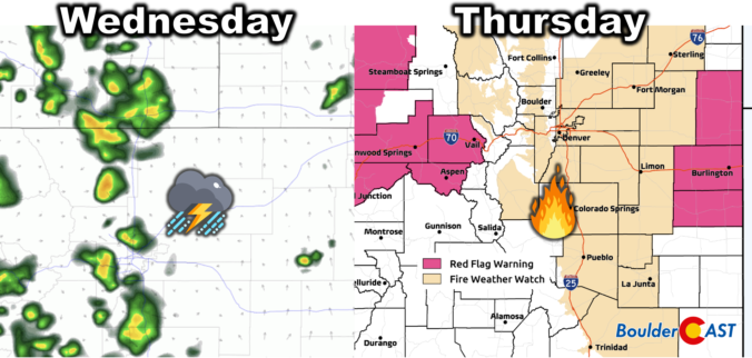
*Premium* BoulderCAST Daily – Wed 09/11/24 | Scattered PM storms today, hot & gusty with high fire danger Thursday
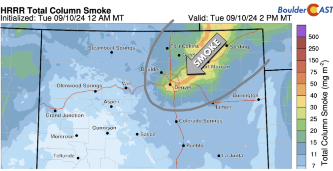
*Premium* BoulderCAST Daily – Tue 09/10/24 | Increasing clouds & smoke with a few isolated gusty showers around, a better chance of rain on Wednesday
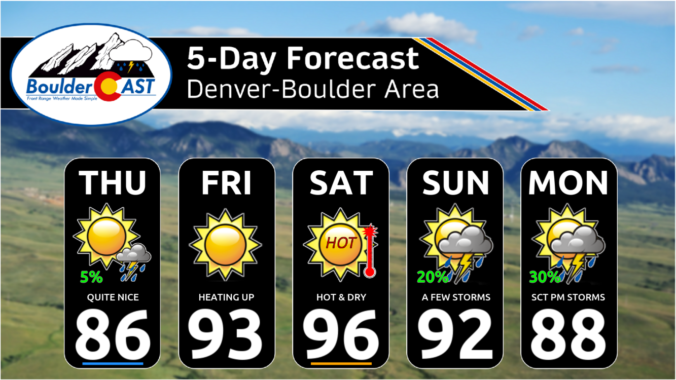
The second week of September will bring a prolonged period of unseasonable warmth to the Front Range along with minimal rainfall. The early to mid-week period will actually have slight chances for rain, but late-week will have much drier air and gusty winds leading to elevated fire danger. Temperatures will remain close to 90 degrees every single day in the extended, with some influx of wildfire smoke at times from the Pacific Northwest. Read on for all the details.
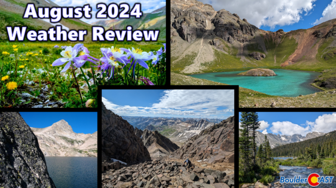
August 2024 Graphical Weather Review: A surprising late-season surge in the monsoon brought slight drought improvement to the Front Range
August brought welcomed change to the Front Range with the elusive American Southwest Monsoon finally making a late appearance. While much of the area ended with below normal rainfall in August, it was notably wetter than months prior leading to a slight improvement in the regional drought. It was also hot in August, with overall temperatures and the number of 90-degree days landing above normal. Here’s a quick and colorful graphical recap of our weather during August and how it relates to climatology.
*Premium* This Weekend in Colorado Weather: The monsoon rains are over (for now) with hotter & drier weather in-store for the weekend
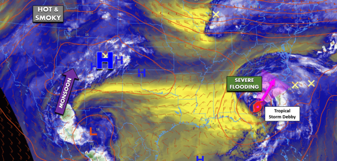
*Premium* BoulderCAST Daily – Tue 08/06/24 | Two more hot days with thunderstorms before cooler (and smokier) air arrives Thursday
Our scorching hot, two-week-long heatwave will finally come to an end later this week, but not before we endure a few more days. A cold front is slated to arrive into the Denver area late Wednesday finally knocking us out of the 90s. This front will also come with an enhanced chance of rainfall, though monsoon moisture is still largely lacking. Despite daily chances for rain this week, our existing fires will continue to smolder and the risk of new fire ignitions remains uncomfortably high.
© 2026 Front Range Weather, LLC

