We discuss the outlook for what is shaping up to be a pleasant holiday weekend, albeit under the duress of near-record heat.
Category: Tropical Weather (Page 13 of 19)
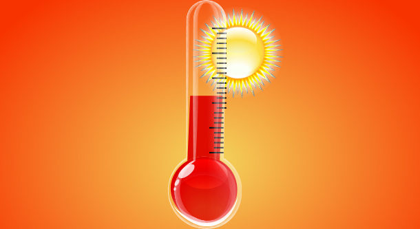
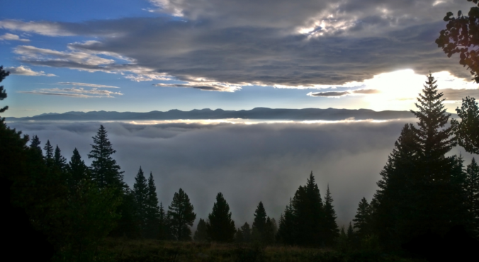
It’s hard to believe that August is now upon us! Where is the summer going? June and the first half of July were cooler than normal with summer barely making an appearance. The heat has really ramped up over the last three weeks though, including a ten-day stretch of 90-degree weather in Boulder. Should we expect more of the same in August? Read on as we examine Boulder’s climatology and consider the current state of the atmosphere to give our outlook for the next month.
The last week of July will feature very seasonal weather in the Front Range as a stationary ridge of high pressure remains across the southern Rockies. While initially suppressed, monsoon moisture will make its way back into Colorado by mid-week. As a result, hot and dry conditions will transition stormier as the week wears on.

This week will feature very hot temperatures across the Front Range with some areas likely pushing into the triple digits. Storm chances will exist only early in the week. We cover the HEAT WAVE at-hand and the potential for monsoon moisture making it to Colorado just in time to cool us off for the upcoming weekend.

Monsoon lovers may have to wait awhile for our daily dosage of summer-time thunderstorms. Mid and long-range weather models predict a delay in the onset of monsoon season across the American Southwest. We discuss why this won’t necessarily impact Colorado all that much, at least compared to other states such as Arizona.
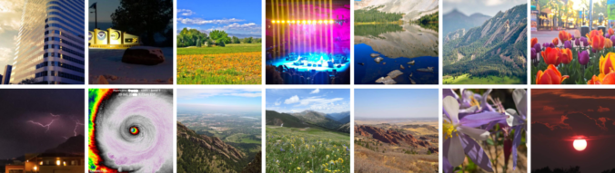
Check out seven unique graphics we created recapping 2018’s weather!
After a quiet weekend in weather, the blocking pattern across the West wears down which leads to chances for rain and snow across Colorado. We also discuss Category 4 Hurricane Willa currently bearing down on Mexico.

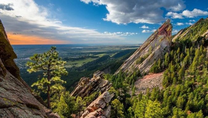
Live View of Boulder

Current Conditions

Live Radar

Recent Premium Posts

BoulderCAST Daily – Sun 01/11/26 | A mild Sunday with readings reaching the 50s
🌤️ Mild & Melty Sunday: Light winds and patchy clouds, with lingering snowpack …
BoulderCAST Daily – Sat 01/10/26| Widespread sunshine and moderating temperatures this weekend as our recent snow melts off
🌤️ Calm Saturday: Winter storm systems have departed the state, leaving behind a …
BoulderCAST Daily – Fri 01/09/26| Snow ends quickly this morning with a quieter weekend in store
❄️ Overnight snow bands: A second push of upslope after midnight sparked narrow …
3-Day Forecast

Trending Content

© 2026 Front Range Weather, LLC