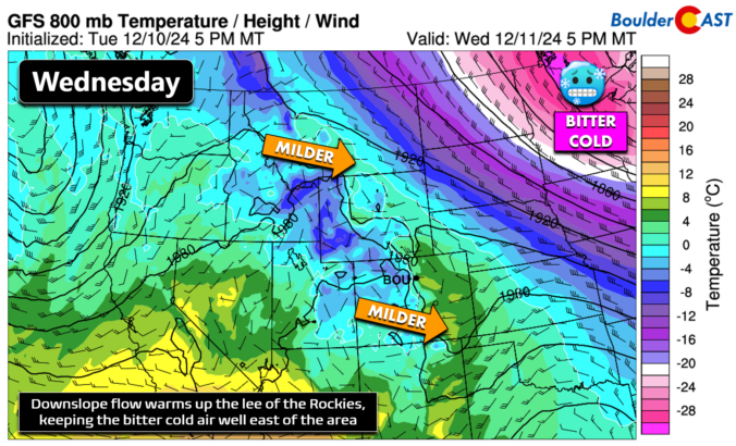
We're starting out surprisingly warm around 40 degrees this morning in Boulder, and in parts of the Metro area which saw persistent downslope winds overnight. It was a bit loud trying to sleep overnight, but at least there is a slight benefit of comfortable temperatures at wake-up as payoff! This morning's warmth foreshadows the day ahead --- which will continue …
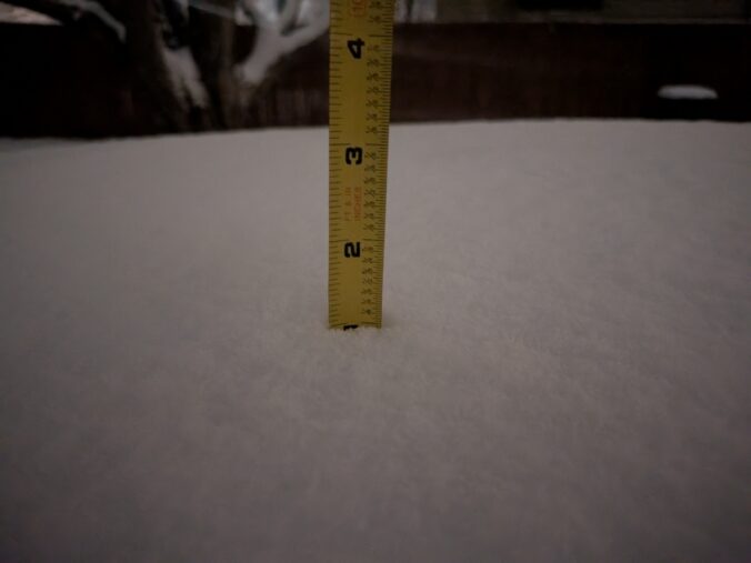
Yesterday's passing disturbance brought a wave of fairly widespread but brief snow to the Metro area Monday evening, with many locations in the southwest Denver Metro area picking up a quick inch or three of accumulation, as confirmed via the morning CoCoRaHs snow reports: We garnered 1.0" on the dot at our station, measured on a raised table surface. Water …
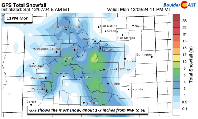
Today is our last mild day in the upper 50s across the Denver Metro area. A deep trough to our northwest this afternoon and evening with take a southeastward track overnight and into Monday. As it does so, a trough axis will cross the region Monday morning and afternoon. The GFS is the most robust with developing a wave of …
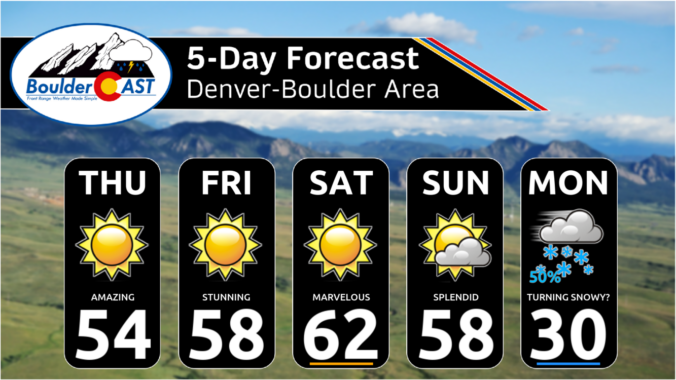
This weekend, we continue the mild trend. Ridging extending eastward from the West Coast will continue to support highs above normal in the upper 50s to around 60 degrees. Highs in the Denver Metro area could top 60 this afternoon - a great day for tennis or hiking! The ridge will suppress to the south early next week as a …
Ridging extends east into our area, but the center of the high is off the coast of California. Nevertheless, that is not keeping warm temperature anomalies from extending from the Pacific Ocean into the northwest US, northern Plains and Colorado. This is going to spell out a mild end to our work week. Most locales will top out in the …
The stagnant, ridgy pattern will persist across the West for several more days with above normal temperatures and quiet conditions expected in the Front Range through Sunday. The 500mb height anomaly forecast animation below from the Euro ensemble runs through Monday. Notice the lingering high-amplitude ridge that will be with us through the end of the week and the weekend …
Acold front moved through earlier today and behind it we are a touch cooler in the low to mid 50s as opposed to upper 50s yesterday. The true Arctic Air, however, is well off to our northeast over the Great Lakes and moving into the Ohio Valley. We won't see this as ridging keeps this parked to the Eastern US. …
🎃 🌫️ Halloween Day starts off with fog — Seasonable temperatures near 60° …
3-Day Forecast

Did You Know?
There are two acceptable meteorological definitions for the occurrence of a “White Christmas.” There must either be 1″ of snow present on the ground at any point during the day (which is the “official” definition as denoted by the NCDC), or 0.1″ of snow must fall and accumulate on Christmas Day.