


Category: Premium Content (Page 139 of 451)

This content is for Premium Members only.
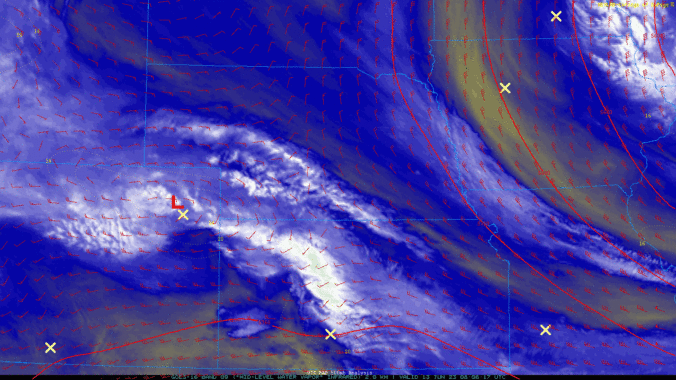
BoulderCAST Daily – Tue 06/13/23 | More showers move in by midday as temperatures struggle to reach 60°

The worst hailstorm in decades hit the city of Boulder Monday afternoon accompanied by up to 2" of rainfall in less than one hour! This led to the streets turning slick from several inches of hail accumulation with road and creek flooding noted in the hardest hit areas as well. The video below shows the madness occurring in downtown Boulder …

BoulderCAST Daily – Sun 06/11/23 | Good threat of heavy rainfall tonight with slow moving storms

Acold front has moved through and in its wake, upslope flow is in place, along with a cooler airmass. Highs today will only top out in the mid to upper 60s, a pleasant afternoon for June. Unfortunately, unsettled weather is in store as we go into the afternoon and evening. A pesky area of low pressure continues to circulate near …

BoulderCAST Daily – Sat 06/10/23 | Isolated to scattered severe thunderstorms today

Acold front will be sagging south this afternoon and evening. Ahead of the front, high instability will promote a favorable environment for large hail and locally damaging winds, especially north and east of Denver. Partly sunny skies will start our day with highs in the middle 70s. A pre-frontal trough will favor northeast winds and light upslope to aid thunderstorm …

BoulderCAST Daily – Fri 06/09/23 | Scattered afternoon and evening storms take shape again today

Another disturbance in the mid-level flow pattern will traverse to the northeast over the Front Range this afternoon and evening, setting the stage for additional chances of scattered afternoon/evening storms. A plume of anomalous moisture will track with the disturbance and favor the best chances of storms in the 2 PM to 8 PM time frame. After highs in the …

BoulderCAST Daily – Tue 06/06/23 | Late-day storms continue, even wetter Wednesday

The stagnant weather pattern remains locked in across North America thanks to a rex block over the center of the country. The rex block is showing signs of weakening, however, with the mid-level low pressure/trough near the Gulf Coast starting to dissipate. This will spell the beginning of the end for this particular block as we transition to another type …

BoulderCAST Daily – Sun 06/04/23 | Periods of rain/storms, at times heavy for isolated flash flooding

Another round of rain and some storms will spread over the Front Range today into tonight as moist upslope remains across the region. The low-level flow remains out of the east-southeast, with deep moisture in place similar to Saturday. Unlike yesterday, the lift is stronger than Saturday such that much of the day will be cool, cloudy, and rainy with …

BoulderCAST Daily – Sat 06/03/23 | Showers and storms capable of heavy rainfall today into Sunday

An upper-trough over western Oklahoma and northern Texas this afternoon and evening with retrograde to the NNW into the Front Range tonight into Sunday morning. This track will favor a deep and prolonged period of moist lift, upslope, and forcing for widespread showers and some embedded storms capable of excessive rainfall. A weak flow from the surface to 15,000 feet …

« Older posts Newer posts »

