The pipeline remains active for quick-moving disturbances to trek across Colorado. Mountain snow is the main story this week, though gusty downslope winds across the lower elevations come in as a close second.
Forecasts focused on the many ski resorts of NE Colorado.
The pipeline remains active for quick-moving disturbances to trek across Colorado. Mountain snow is the main story this week, though gusty downslope winds across the lower elevations come in as a close second.
After a cold start to our week to end the month of December, the weather turns milder as we ring in the New Year. Don’t get too cozy…a return to winter-like temperatures will ensue during the latter part of the week. We also discuss the little bit of snow over the weekend which produced just enough to bump 2019 into Boulder’s top 5 snowiest calendar years.
Unseasonably warm conditions will continue for the next few days before cooler and unsettled weather arrives later in the week. We’re also watching a potential winter storm but the track remains uncertain at this time.
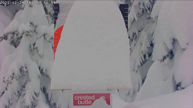
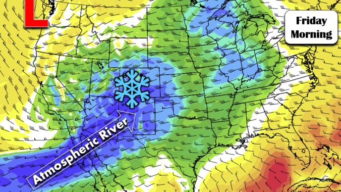
Skiers rejoice! A persistent influx of sub-tropical moisture associated with a developing atmospheric river event will bring a prolonged period of light to moderate snow to the Mountains in the coming days.
In the absence of any major storm systems approaching Colorado, this week will remain fairly quiet with primarily dry conditions. Temperatures will vary day-to-day however from the 30’s to the 50’s. We’re also watching a powerful jet that is expected to move overhead late in the week bringing widespread snowfall and blustery conditions to the Mountains.
A milder week is expected, but there is still plenty of snow on the ground to hamper our warm-up. We detail how warm we may get, along with the threat of gusty winds, light snow/rain showers, and what skiers can expect for the week ahead. Read on for more details.
One thing is for sure, a prolonged period of cold and unsettled weather will take hold of the Front Range Wednesday morning into Friday. A mash-up of rain, snow, and freezing drizzle will intermittently impact the area during this timeframe. Overall precipitation rates will be light, but the long duration could lead to light snow accumulations by Friday morning. In this update, we talk tumbling temperatures, rain/snow/ice timing, and potential snow accumulations.
*PREMIUM* STORM UPDATE (7:00 AM Thu 11/21): Don’t be fooled by the lull in the action… There is still more light snow to come! READ HERE
After a warm and breezy start to the week, the weather turns colder and very active as a series of cut-off low pressure systems merge over the western United States. This will bring the threat of rain and snow to the Front Range Wednesday through Friday. Read on for more details.
© 2024 Front Range Weather, LLC