


Category: Forecast (Page 46 of 169)
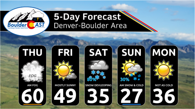
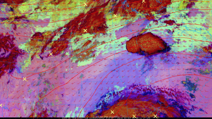
Change is on the way! Unseasonably warm temperatures will continue across the Front Range for a few more days leading up to a significant pattern shift later this week. A series of cold fronts will impact the area in the days to come, knocking our high temperatures from the 80s on Monday into the 40s by Friday, though precipitation looks scant during this timeframe. However, the first Arctic blast of the season is taking shape for the upcoming weekend with temperatures set to plummet further alongside our first potential snowfall of the season. It’s about time!
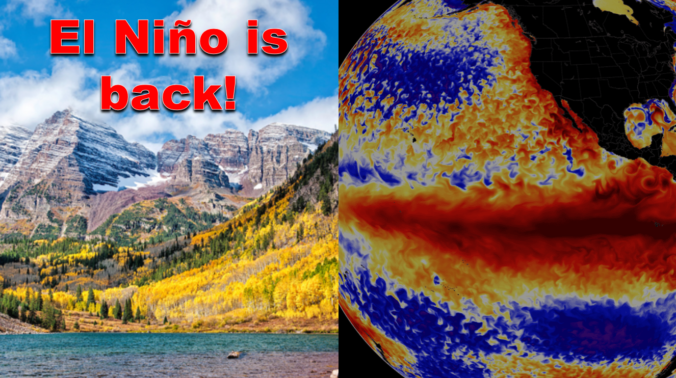
After enduring three consecutive La Niña winters, El Niño has taken over the globe once again intensifying in unusually rapid fashion. As of writing in mid-October, a strong El Niño is underway with impacts that will stretch globally in the months to come. We take a look at the current state of ENSO and what to expect from Mother Nature this winter across the Front Range lower elevations and Mountains.
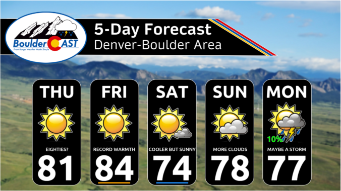
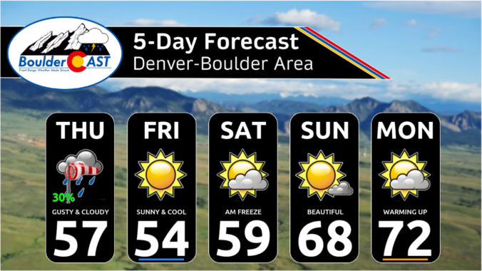
The week ahead will usher in persistent unseasonable warmth and sunshine to Front Range Colorado. There’s a better chance of setting record high temperatures this week than there will be to see any kind of precipitation. We are watching a couple of cold fronts, but they will be the dry variety with temperatures not even dropping below normal on their backside. Upper-level ridging will continue to push in from the West Coast for the weekend keeping things pleasant and dry through at least Sunday for our area. As you might imagine, there’s no chance of snow or additional sub-freezing temperatures in the pipeline.
Key Messages:
- The Colorado Buffaloes football game Friday night in Boulder begins at 8PM — there will be nice weather but cold with temperatures in the 30s throughout the game under clear skies
- The first hard freeze of the season is possible but is now looking less likely for the Metro area Friday night as high clouds will move in overnight
- The same clouds will be be around early Saturday morning, possibly impacting the view of the annular solar eclipse

Live View of Boulder

Current Conditions

Live Radar
Latest Smoke Forecast

Recent Premium Posts

BoulderCAST Daily – Tue 07/14/26 | The Front Range Continues to Bake Under Expansive Ridge
🔥 Heat streak continues — Boulder hit 97°F for the third time in …
BoulderCAST Daily – Sun 07/12/26 | Hot weather for a good chunk of the coming week
🥵 🔥 Heat for a good chunk of the week: Upper 90s through …
BoulderCAST Daily – Sat 07/11/26 | Here comes the heat!
🥵 Heat start today: Upper 90s start today and continue well into next …
3-Day Forecast

Trending Content



© 2026 Front Range Weather, LLC