After a snowy holiday weekend, 2015 will go out like a baby sheep, with dry but cold weather prevailing through the week. Read on to find out how cold it will be New Year’s Eve and when we can expect our next chance of snow.
After a snowy holiday weekend, 2015 will go out like a baby sheep, with dry but cold weather prevailing through the week. Read on to find out how cold it will be New Year’s Eve and when we can expect our next chance of snow.
With winter now officially under way (you didn’t miss the solstice did you?), the weather turns cooler and snowier right in time for the holiday. We provide an updated outlook through the extended weekend. Will any of us see a white Christmas this year? Read on to find out!
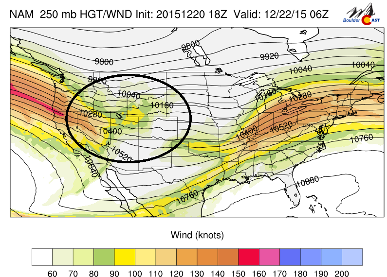
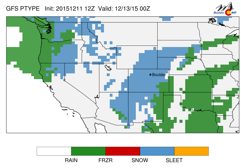
This week will feature a series of snow events across the High Country, with several ski resorts likely accumulating more than a foot of snow by midweek. This is all thanks to a large Pacific jet stream tracking into the western United States. There are also hints Boulder may see some snow on Christmas. Continue to find out more.
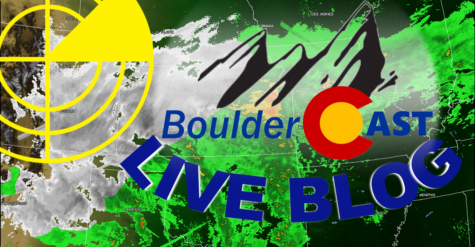
Our most recent snow storm reinforced the fact that weather forecasts can change in the blink of an eye, which can ultimately have major impacts across the Front Range. Looking back, we definitely needed a better outlet to communicate more timely information to our readers as models shifted in the final hours leading up to the event. We detail a new site feature that will be rolling out alongside our next major winter storm, the BoulderCAST Live Blog.
More than thirty-six hours after the snow has settled on the surprise storm of the year (and quite possibly the decade?) for the Denver Metro area, we explain what went through the minds of the forecasters in the hours leading up to the storm, what likely led to the storm’s deviation from initial forecasts, and recap snowfall totals from across the Front Range.
Many of you likely awoke to considerably more snow than expected! Most schools and public offerings are shut down, and there is currently a snow plow upside down in Boulder Creek. Don’t worry, the driver is doing fine. Snow totals thus far are in the 7-10″ range over then entire Denver Metro area. We measured 8.5″ at BoulderCAST around 7:00am, which was equal to the official measurement taken by the National Weather Service at 8:30am. By the time the snow wraps up this afternoon, we are likely to exceed 10 inches. Let us know in the comments below how much snow is in your neighborhood!
It wasn’t until late last night that it became clear Boulder and the entire Denver area may be in for our first significant snow of the year. There are a lot of reasons for this, including a little good fortune. We will discuss this in a post later today or tomorrow (found here). Stay tuned and drive safe (if you must!).
With the snow from Saturday’s storm yet to fully melt, another round of white stuff is ticketed to move into the region tonight. We give our snowfall forecast, and look forward to the week ahead.
After a week of Chinook winds and very warm temperatures, big changes are in store for this evening, just in time for the weekend. Read on for the “what”, “when”, and “how much” of our snowfall forecast.


© 2026 Front Range Weather, LLC
You must be logged in to post a comment.