


We hope you had a safe and festive holiday weekend! Despite the very cold start to the week, warmer weather is on the way! Read on for our outlook covering the upcoming week, including when we expect our next chance of snow.
Category: Forecast (Page 156 of 198)

We discuss the forecast for more snow Saturday night across the Front Range, and detail the locations that will see a White Christmas!
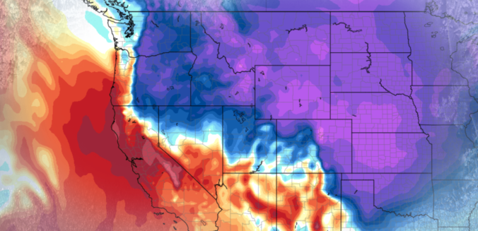
Accumulating snow and frigid temperatures are on the way for most of Colorado! Read on as we discuss the arrival of the first Arctic cold front of the season, one which has good timing to coincide with the winter solstice on Thursday.
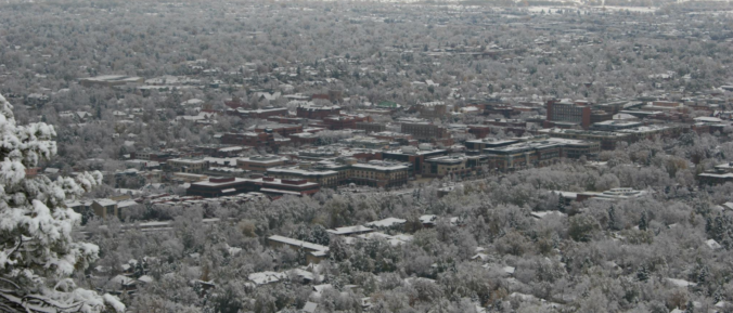
Changes to the forecast bring the return of accumulating snow to the Front Range. We detail when we expect the snow to start and how much will fall.
The week ahead looks rather tranquil with high pressure primarily in control. A few weak cold fronts will push across the state to create swings in temperatures between the 50’s and 60’s. The extended outlook shows a possibly more active pattern going for next week. Read on for more details.
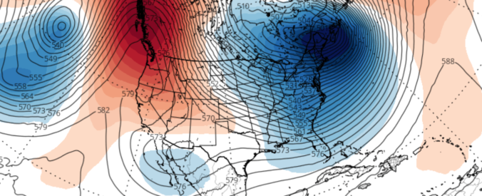
We discuss the forecast for snow on Thursday and how the weather pattern is shaping up heading into the holiday season.
The month of November wrapped up as the second warmest on record in Boulder. During the month, we had ten 70+ degree days, but only one with a high temperature below 40 degrees. The remarkable warmth of late will NOT continue for the week ahead, unfortunately. Continue reading as we detail the forecast for the next seven days.
Live Radar

Trending Content


Recent Premium Posts

BoulderCAST Daily – Tue 11/10/26 | Clouds Increase Today, But Colorado’s Dry Pattern Rolls On
🌤️ A Few More Clouds Today – Mountain wave clouds are developing along …
BoulderCAST Daily – Sun 11/08/26 | Mild November Weather Continues, Even With A Cold Front Midweek
☀️ Sunny and warm for early November – Temperatures in the middle to …
BoulderCAST Daily – Sat 11/07/26 | A Pleasant Weekend With Dry Weather For a While…
☀️ Sunny and Pleasant – Highs in the lower 60s this afternoon trend …
© 2026 Front Range Weather, LLC