


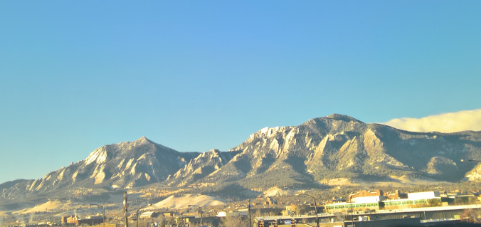
From summer to winter in the blink of an eye! There has been quite the weather transition in the last 48 hours. We review yesterday’s snowfall and give some insight into when we may see our next.
Category: Forecast (Page 158 of 198)

Temperatures are climbing to near-record levels into the low 80’s this afternoon. Would you believe that by this time tomorrow we’ll be 40 to 50 degrees colder with snowflakes flying? That is the situation at hand as a quick-moving storm system is set to clip eastern Colorado. Read on for details.

The main story for the week ahead will be the roller-coaster ride of temperatures! They will soar to near 80 degrees by midweek, but then tumble to bring the chance of snow to the region by Thursday. Read on for our complete outlook of the upcoming week.

The gorgeous weather pattern of last week will continue into the week ahead with warm sunny days and cool autumn nights. There isn’t much actual weather to discuss this week this week, but we’ll give it our best shot!

We hope you enjoyed the Columbus Day holiday! In this special weekly outlook, we provide a brief recap of yesterday’s snowstorm, announce the winners of our 2017 First Snow Contest, and detail the warm and sunny weather about to make a rebellious stand across Colorado.
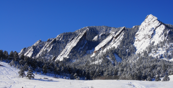
The winter storm advertised by the weather models remains on track to bring snow and much colder temperatures to the region tonight. We provide a timeline for the storm and our final snowfall forecast map.
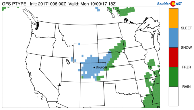
Things are about to turn white across the region as a quick-hitting storm brings freezing temperatures and snow to the Front Range. Read on for details.
Live Radar

Trending Content


Recent Premium Posts

BoulderCAST Daily – Tue 11/10/26 | Clouds Increase Today, But Colorado’s Dry Pattern Rolls On
🌤️ A Few More Clouds Today – Mountain wave clouds are developing along …
BoulderCAST Daily – Sun 11/08/26 | Mild November Weather Continues, Even With A Cold Front Midweek
☀️ Sunny and warm for early November – Temperatures in the middle to …
BoulderCAST Daily – Sat 11/07/26 | A Pleasant Weekend With Dry Weather For a While…
☀️ Sunny and Pleasant – Highs in the lower 60s this afternoon trend …
© 2026 Front Range Weather, LLC