Category: BoulderCAST Daily (Page 98 of 465)

This page contains an index of our BoulderCAST Daily forecast updates. If you are NOT a Premium member, you will only see a tiny sample of this content below. Subscribe to BoulderCAST Premium to gain access to all of our daily forecasts which get published every morning.
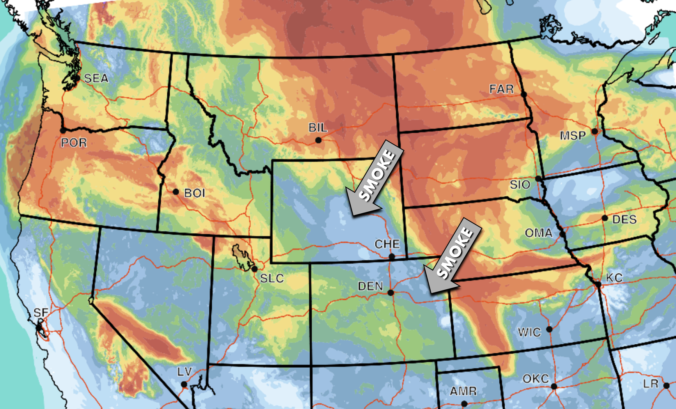
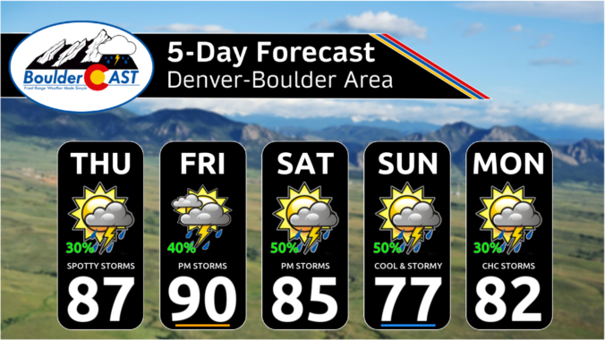
Premium BoulderCAST Daily – Fri 07/19/24 | PM thunderstorms today and tomorrow with highs in the 80s, choking Canadian smoke arrives late in the weekend

High pressure is currently located across Arizona with north-northwest flow residing over the Front Range. This is seen in the morning GOES-East water vapor loop below. Note that despite the big high pressure, a fair amount of monsoon moisture is trapped inside the ridge. This will provide the fuel for storms today (and throughout the upcoming weekend). Furthermore, a shortwave …

Premium This Weekend in Colorado Weather: Below normal temperatures, smoky skies & continued rainfall chances will accompany atypical due northerly flow through the weekend

Following yesterday's disappointing rain output, skies are mostly clear this morning across Colorado as seen from the GOES-East's visible satellite animation: Mostly clear is not entirely accurate, though, as there is plenty of smoke filling our skies. Check out the latest view from the Alpine Visitor Center in Rocky Mountain National Park below. Yuck! Thick smoke from wildfires in the …

Premium BoulderCAST Daily – Wed 07/17/24 | A quick shot of monsoon thunderstorms with heavy rain this afternoon, but drier on Thursday

Happy Wednesday, folks! Today will offer another great chance of monsoon thunderstorms during the afternoon hours. This comes after two relatively wet days already this week: https://twitter.com/BoulderCAST/status/1812959681767219257 https://twitter.com/BoulderCAST/status/1813308211610714392 The ante will be upped a tad today thanks to a cold front that moved through overnight bringing a surge of low-level moisture to our area. We've been looking forward to this …

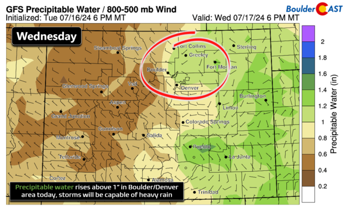
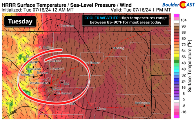
Premium BoulderCAST Daily – Tue 07/16/24 | Afternoon monsoon storms with a quick shot of moderate rain, more on the way tomorrow

Yesterday's late-day thunderstorms were a bit more fruitful than expected, including one particularly nasty cell which hit Broomfield and parts of Westminster with torrential rainfall, penny-sized hail, and wind. The scene below shows the storm crossing Interstate 25 around 3PM Monday. Precipitation reports show that more than 1" of rain fell from that strong storm in Broomfield, and more than …

Premium BoulderCAST Daily – Sun 07/14/24 | Another hot day…

AHeat Advisory is once again in effect today with highs in the lower 100s for most of the Denver Metro area once again. The anomalous high pressure ridge is currently over south-central Colorado this afternoon. However, as we saw last night, there is a non-zero chance of a storm. Late last night a few storms developed east of the Foothills. …

Premium BoulderCAST Daily – Sat 07/13/24 | Hot weather continues

AHeat Advisory is in effect for the Front Range and most of eastern Colorado today. Another afternoon of high temperatures in the low 100s will be the norm for most of us. The hot airmass continues with little change from Friday. Note the well above normal low-level airmass temperatures, signaling status quo for the next few days. There are some …

Premium BoulderCAST Daily – Fri 07/12/24 | We are baking in the sun today with lower 100s for highs

That large and anomalous ridge will continue to be in place toady, located over eastern Utah. It's going to spell out quite the heat to end our work week! The hot airmass will reach temperatures of about 20 degrees Celsius at 5,000 feet off the ground today! That will easily support triple-digit heat this afternoon. Most places will top out …

« Older posts Newer posts »