Category: BoulderCAST Daily (Page 85 of 465)

This page contains an index of our BoulderCAST Daily forecast updates. If you are NOT a Premium member, you will only see a tiny sample of this content below. Subscribe to BoulderCAST Premium to gain access to all of our daily forecasts which get published every morning.
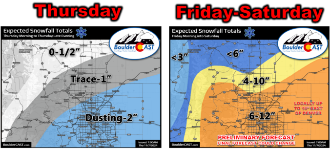
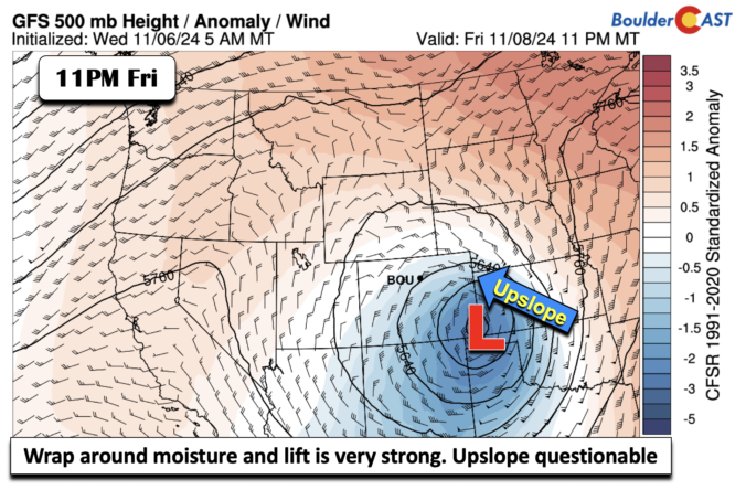
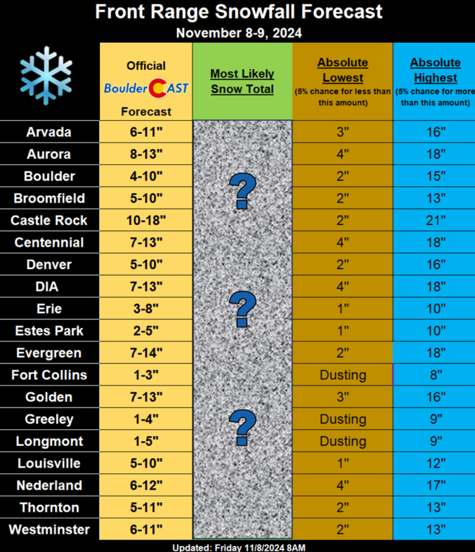
Premium Storm Update – Fri 11/8/24 9:00AM | Heavy snow is beginning NOW across the area, but let’s take one final look at the data!

The faucet of Gulf of Mexico moisture is on full blast into Colorado today! Moderate to heavy snow is beginning across the Front Range NOW and will continue through early Saturday, at times mixing with rain on the north side.  We discuss the latest on the approaching low pressure, take a tour through the most recent model data, and provide a few final details leading into this big and wet snowstorm!

Continue reading

Premium BoulderCAST Daily – Thu 11/07/24 | Light snow with minimal consequence today, but Friday will be a different, much snowier story!

Heavy snow is falling across a large portion of southeast Colorado this morning, and by the current radar animation, you'd assume we're in for a doozy of a snowstorm today as this shield of snowfall heads northward. Well, this isn't really the case as our area will only catch a glancing blow from today's snowfall for the most part. There …

Premium Winter Storm Update: Another possible snow storm late this week on Friday

Our midweek system is not done yet. There are signals that as the system tracks to the ENE from New Mexico into far eastern Colorado and western Kansas Friday afternoon until midday Saturday will once again take aim on the Front Range. The NAEFS ensemble mean (which includes both the GEFS and GEPS ensembles) shows a deep and strong fetch …

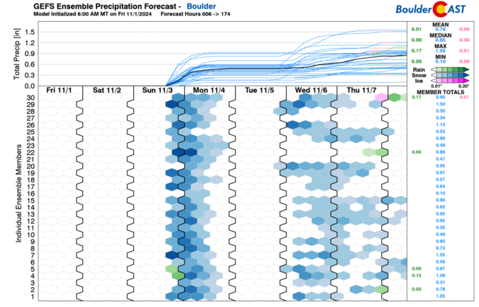
Premium BoulderCAST Daily – Sun 11/03/24 | Snow likely tonight, but how much will ultimately depend on your location

We have been discussing a potent trough set to impact our region tonight into Monday for the past several days. The trough will actually pass to our south, but a portion of its energy will spill northward later tonight into Monday morning. This energy will be helpful for the snow bands that are likely to set up tonight. High temperatures …

Premium BoulderCAST Daily – Sat 11/02/24 | Mild today but snow increasingly likely Sunday evening

Today will be our last true mild day with low to middle 60s over the Front Range. Southwest flow again today ahead of a trough will bring this mild air in place. The trough noted below will be located over Nevada and California today. Over the next 24-36 hours, the trough is forecast to dig to the east-southeast, at the …

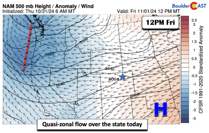
Premium BoulderCAST Daily – Fri 11/01/24 | Quiet to start November

Quasi-zonal flow is in place today. Troughing exists over the Pacific Northwest, while ridging is over the southern Plains. West-southwest winds aloft are going to promote warmer temperatures to close out our week and start November. It's quiet today with high temperatures about 5 degrees above normal in the lower 60s. Lots of dry air is also in place, as …

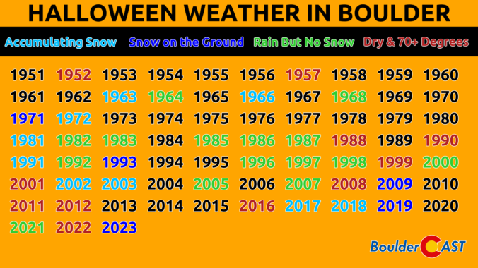
Premium This Weekend in Colorado Weather: A quiet Halloween & weekend ahead, but early next week turns active with multiple rain/snow storms in the cards

Well, yesterday's rain/snow event was underwhelming for most of the Metro area --- we did say this storm would not be worthy of much attention had it not been for the chance of our inaugural snow. We did see a few snowflakes mixing in with the rain during the late afternoon hours, but nothing stuck at all in our area …

« Older posts Newer posts »