Category: BoulderCAST Daily (Page 78 of 465)

This page contains an index of our BoulderCAST Daily forecast updates. If you are NOT a Premium member, you will only see a tiny sample of this content below. Subscribe to BoulderCAST Premium to gain access to all of our daily forecasts which get published every morning.
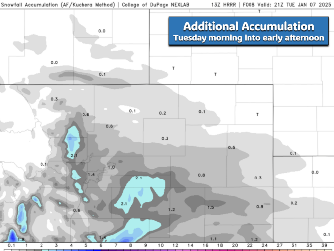
Premium Storm Update – Tue 01/07/25 8:15AM | Light snow will wrap up around midday with the coldest night so far this season expected tonight

Light but fluffy snow is falling across the entire Front Range this morning. In today’s update, we take a look at current travel conditions around the area, how much snow has already fallen and what is still to come based on the latest model data. Plus a look at just how cold it will get for the night ahead with clearing skies and fresh snow on the ground.

Continue reading

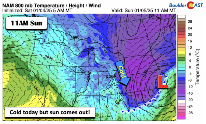
Premium BoulderCAST Daily – Sun 01/05/25 | Watching our next snow chance

It is a cold and dry day today. Contrary to our foggy and cold conditions and some snow yesterday, we should see the clouds and fog not be an issue for today. There could be some around in the morning, but this should lift by midday, leading to a mix of clouds and sun. But the cold air is well …

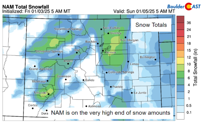
Premium BoulderCAST Daily – Sat 01/04/25 | Freezing fog/drizzle in the morning then areas of snow tonight

Be careful if you are going out this morning. An Arctic front draped from the Front Range into the central Plains is in place. Temperatures behind this front are in the 20s with winds out of the east and northeast. There is a high amount of surface moisture in place. Relative humidity values are near 100% in most areas. Given …

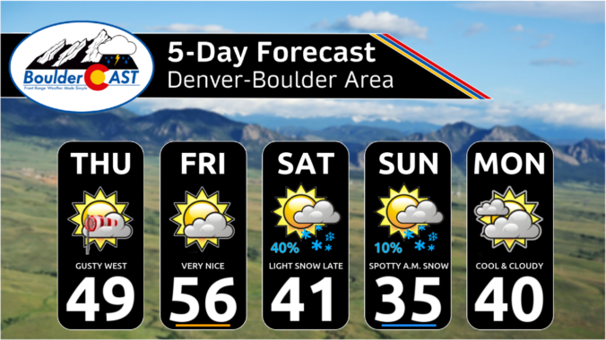
Premium BoulderCAST Daily – Fri 01/03/25 | Quiet today; colder with snow possible tomorrow

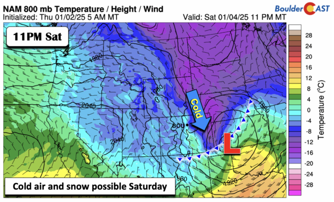
We end the work week on the quiet and mild side with ridging aloft building in. Temperatures warmest in the low 50s in metro and south Denver, with perhaps some upper 40s toward Boulder and near the eastern Foothills. We turn colder Saturday as two cold fronts move through the area. The first one moves through Saturday morning as winds …

Premium This Weekend in Colorado Weather: Cool northwest flow continues with more Mountain snow, but also a chance of light snow on the Plains Saturday evening

Widespread moderate snow is falling across the Mountains this morning as yet another piece of shortwave energy moves across the state in the northwest flow. This perturbation contains jet energy and a decent amount of moisture creating both orographic snow and some jet banding in the High Country early on this Thursday. Radar shows active snow falling along the Continental …

Premium BoulderCAST Daily – Thu 01/01/25| A cool & sunny start to 2025, plus a look at last night’s rogue snow shower and viewable Northern Lights

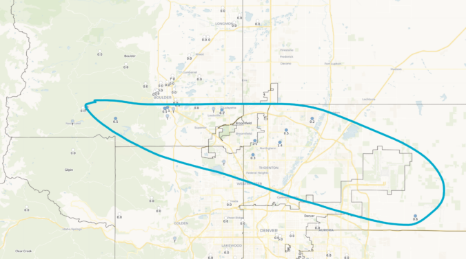
Well, we had a bit of excitement across the area last night thanks to a small, rogue snow shower in the northern Metro that spawned to create very slick travel from southeast Boulder to Westminster to Thornton to DIA during the evening hours. This snow shower basically surfed atop of weak mid-level cold front for a couple hours dropping up …

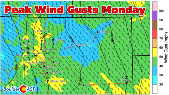
Premium Storm Update – Mon 12/30/24 7:00AM | Widespread gusts over 40 MPH today will create elevated fire danger, but nothing too crazy as the latest data suggests lessened impacts

Westerly winds will quickly ramp up Monday morning with widespread gusts of 40 to 60 MPH expected across much of eastern Colorado today. While the latest model runs have indeed weakened the forecasted winds somewhat, fire danger will definitely be elevated through the day. We review the latest model data and provide an update on how the high winds, Mountain snow, and fire risk will unfold on Monday.

NOTE: Due to the ongoing weather event, our usual weekly outlook forecast will be posted on Tuesday this week. Check back then for a broader outlook of the next five days.

Continue reading

« Older posts Newer posts »