Category: BoulderCAST Daily (Page 77 of 465)

This page contains an index of our BoulderCAST Daily forecast updates. If you are NOT a Premium member, you will only see a tiny sample of this content below. Subscribe to BoulderCAST Premium to gain access to all of our daily forecasts which get published every morning.
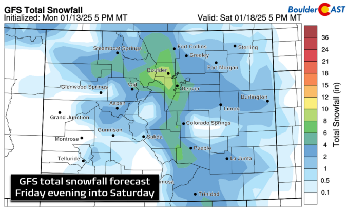
Premium BoulderCAST Daily – Wed 01/15/25| Beautiful and warm weather the next two days, but widespread below zero temperatures and snow are not far off!

Good morning, folks! Today will kick off a brief but welcomed warming trend in the Front Range as our lingering troughiness gets replaced by a ridge of high pressure building across the northern Rockies from the west. The ridge looks quite formidable today (left panel below), but as it translate eastward tonight into tomorrow, it will weaken considerably as it …

Premium BoulderCAST Daily – Tue 01/14/25| Staying cool with some clouds around today, plus that latest on Friday night’s bitter cold & snow

Multiple, moisture-starved shortwave disturbance are impacting the state of Colorado today, advecting into the area under somewhat rare due northerly flow aloft. The incoming disturbance from Wyoming will usher in mainly just some cloud cover to the Front Range for the first half of our Tuesday, though we can't rule out a few snow flurries across the region, primarily in …

Premium BoulderCAST Daily – Sun 01/12/25 | Cold temperatures

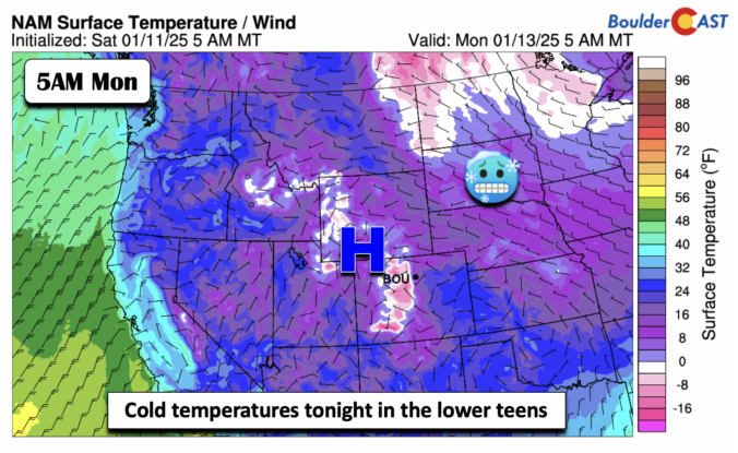
An Arctic high will settle across the region today and tonight. With plenty of cold air in place, our lows tonight will dip into the lower teens. If it wasn't for the katabatic winds from the nearby Foothills, some places would be in the single digits. As for our highs this afternoon, we'll see partly cloudy skies in the middle …

Premium BoulderCAST Daily – Sat 01/11/25 | Watching a snow chance today but after that, it’s all about the cold

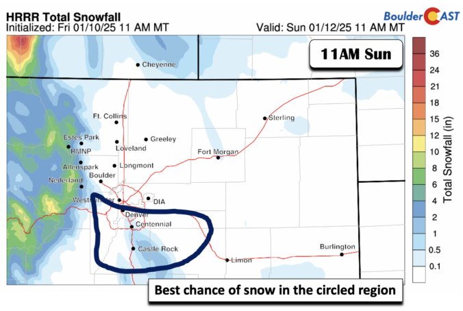
Amid-level shortwave trough and associated axis will track through the region this afternoon and evening. While most of the flow will be in the form of a west to northwesterly downslope flow, some convergence along a surface cold front could bring a short-lived band of snow across the region. After highs in the upper 30s this afternoon, it will turn …

Premium BoulderCAST Daily – Fri 01/10/25 | Chinook Warming today but turning colder again this weekend

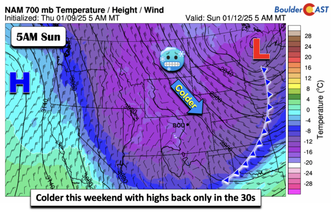
The week ends with somewhat more mild temperatures. However, highs will still be below normal. Chinook winds out of the west and northwest will favor downslope flow that will warm and dry the Plains east of the Foothills. We should see highs in the upper 30s to near the low 40s over the Denver Metro area. Some gusts this afternoon …

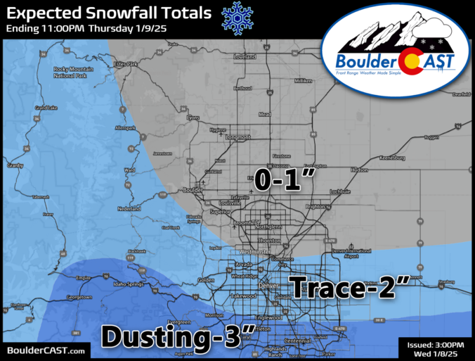
Premium Storm Update – Thu 01/09/25 7:00 AM | A snowy & blustery morning commute for southern Denver, but mostly dry with downslope in Boulder

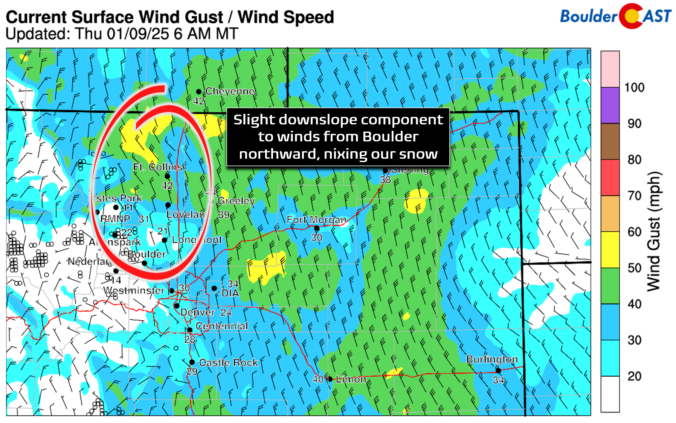
Snow has quickly developed this morning across southern portions of the Denver Metro area, while things remain mostly dry throughout Boulder County under the protection of downslope flow. We take a look at current conditions across the region, the expected blustery wind speeds for today, and how much snow will fall throughout the morning.
Continue reading

Premium BoulderCAST Daily – Wed 01/08/25| Brief tranquility today, but another series of disturbances arrive tonight into tomorrow with a chance of light snow, mostly south (Updated)

AUpdate Wed 1/8/25 3PM: Snow forecast map for Thursday's event updated. s promised, this morning has delivered the coldest temperatures of the season so far, with readings generally in the single digits to lower teens across the Denver Metro area. Further north in the lower elevation river valleys, temperatures are below zero reaching as low as -13°F in Greeley! Current …

« Older posts Newer posts »