Category: BoulderCAST Daily (Page 76 of 465)

This page contains an index of our BoulderCAST Daily forecast updates. If you are NOT a Premium member, you will only see a tiny sample of this content below. Subscribe to BoulderCAST Premium to gain access to all of our daily forecasts which get published every morning.
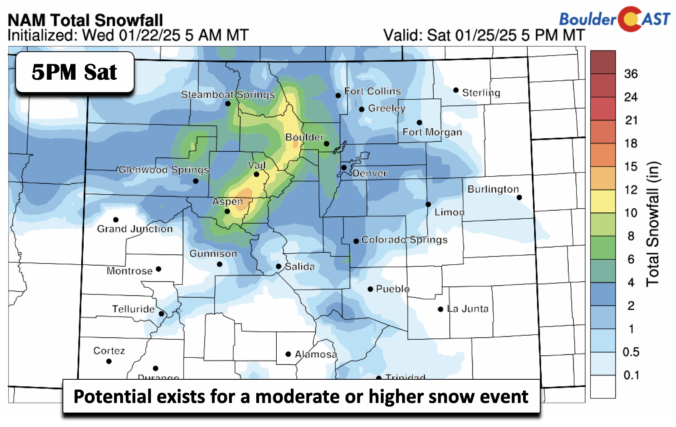
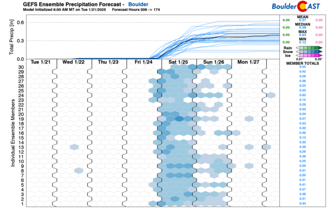
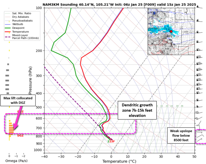
Premium Storm Update – Sat 01/25/25 7:45AM | Forecast remains on-track with a snowy Saturday for all, greatest totals still expected near Boulder

Snow began overnight across the entire Denver Metro area which has led to slick travel region-wide this morning as our temperatures sit in the teens. Generally light snow will continue in earnest through the day before wrapping up this evening from east to west. We take a look at snowfall totals so far and some of the factors influencing how much more fluffy snow is still to come.

Continue reading

Premium BoulderCAST Daily – Thu 01/23/25 | We continue to watch a growing snow threat late Fri through Sat

All is quiet today under another afternoon of below normal temperatures in the lower 30s. Winds, however, will pick up later today and tonight ahead of a front that will move through mid to late afternoon Friday. Increasing warm downslope winds will develop tonight and continue into the morning hours of Friday. That should lead to gusts on the Plains …

Premium BoulderCAST Daily – Wed 01/22/25 | Turning chillier with lower 30s and watching a weekend snow threat

Owarmup from yesterday with lower 40s thanks to Chinook winds is over. A cold front moved through late last night and ushered in a return of chilly to cold temperatures. These temperatures are not Arctic like we saw several days ago, but do return us to lower 30s the next few days. All is expected to be dry, however, given …

Premium BoulderCAST Daily – Tue 01/21/25 | A warmup starts today, along with breezy conditions at times

Warm Chinook winds will take over today, spelling out highs some 30 or so degrees warmer today compared to Monday. While it was bitter cold yesterday, our highs this afternoon with west-northwest downslope winds will bring highs approaching the lower 40s. Some wave clouds may limit that warmup, but nevertheless it will feel balmy compared to the Arctic air we …

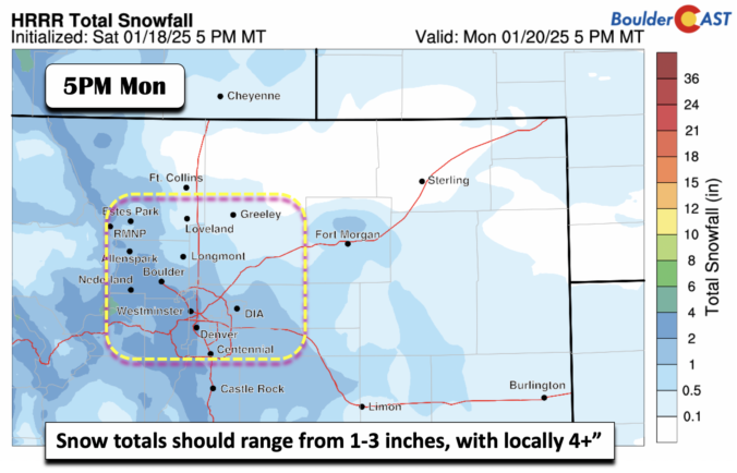
Premium BoulderCAST Daily – Sun 01/19/25 | Bitter cold, with another round of light snow tonight into Monday

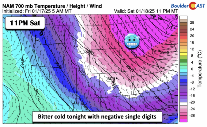
Our coldest stretch of this Arctic intrusion will be today through Monday. Our highs today will only top out in the upper teens to near 20 degrees. Lows tonight will be near zero and Monday's highs will struggle to get out of the single digits. But there is warmer air in store and we'll talk about that a bit later. …

Premium BoulderCAST Daily – Sat 01/18/25 | Scattered light snow showers taper off later this afternoon and evening

Snow showers will continue into the afternoon and early evening hours across the Front Range. We continue to see upslope snow as a result of the passage of a strong Arctic cold front. Temperatures have plummeted into the lower teens to single digits earlier this morning. We won't warm up much today, perhaps only in the mid to upper teens …

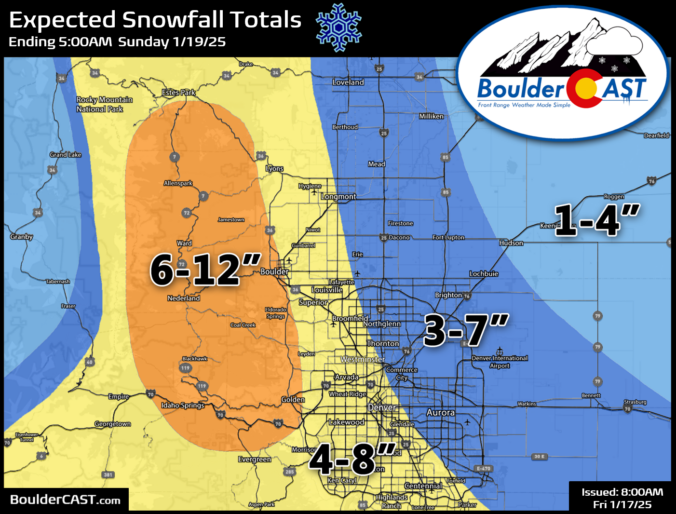
Premium Storm Update – Fri 01/17/25 8:00AM | A strong cold front arrives this afternoon with snow developing shortly thereafter, snow totals have been increased a tad

Our anticipated Arctic cold front is pushing southward across northern Wyoming right now and is on-track to arrive into the Denver area this afternoon. Snowflakes will be slightly delayed, but are expected to quickly develop early this evening impacting at least some of the commute window as travel turns very treacherous through the evening. The latest model data points to a slightly more impactful snow event unfolding, especially for Boulder County. We’ve increased snow totals in these areas. We also discuss the temperature outlook for the rest of the frigid holiday weekend ahead.

Continue reading

« Older posts Newer posts »