Category: BoulderCAST Daily (Page 49 of 465)

This page contains an index of our BoulderCAST Daily forecast updates. If you are NOT a Premium member, you will only see a tiny sample of this content below. Subscribe to BoulderCAST Premium to gain access to all of our daily forecasts which get published every morning.
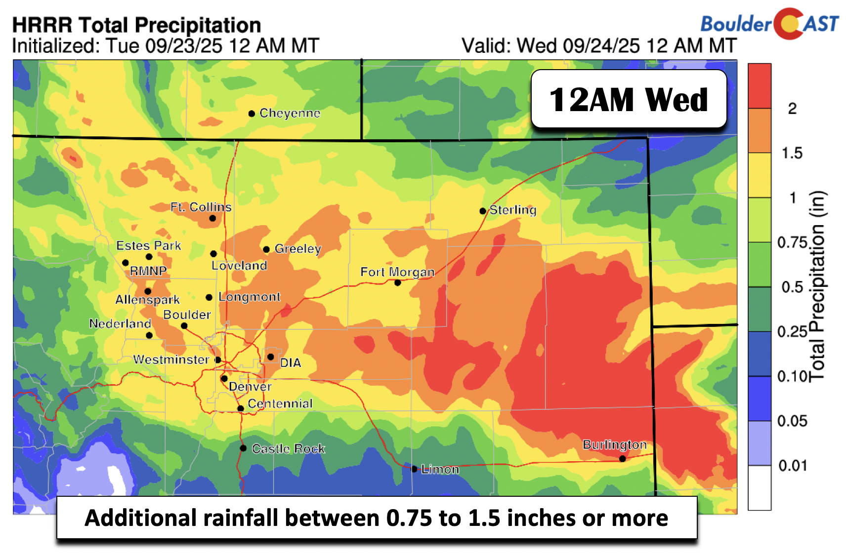
Premium BoulderCAST Daily – Tue 09/23/25 | Wet and chilly on the Plains; Cold with snow above 9000 ft

It will be a cold and dreary day across the Front Range and much of the state for that matter. The radar animation from earlier this morning (between 5 and 6 am) is shown below. Our well advertised system is now starting to develop its wrap around precipitation and upslope rain for the Denver Metro area. There will also be …

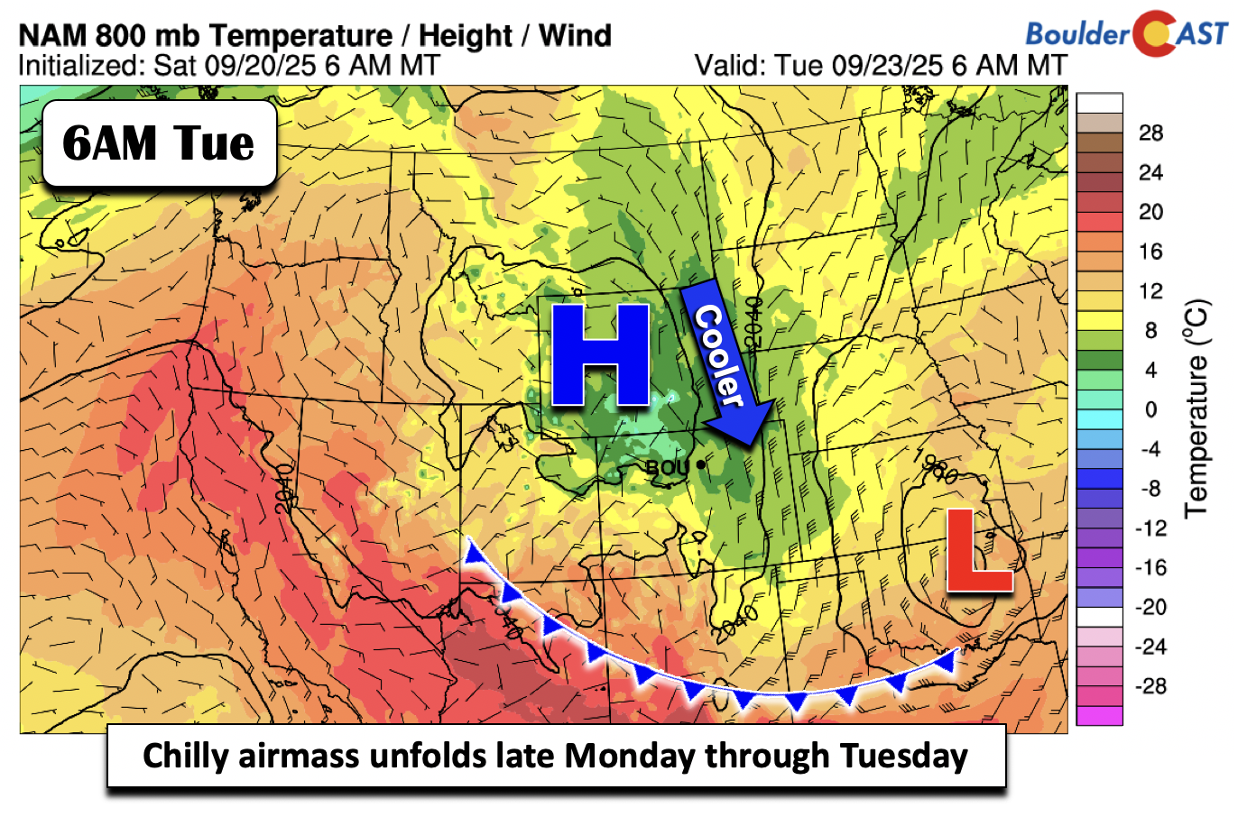
Premium BoulderCAST Daily – Sun 09/21/25 | Our last mild and dry day before wet start to our week

We end our weekend with some mild temperatures once again. Highs should top out at the 80-degree mark for most locales. The dry and mild weather comes to an abrupt end to start our work week as an area of low pressure to our northwest closes off and moves right overhead late Monday through Tuesday, as indicated below. Deep moisture …

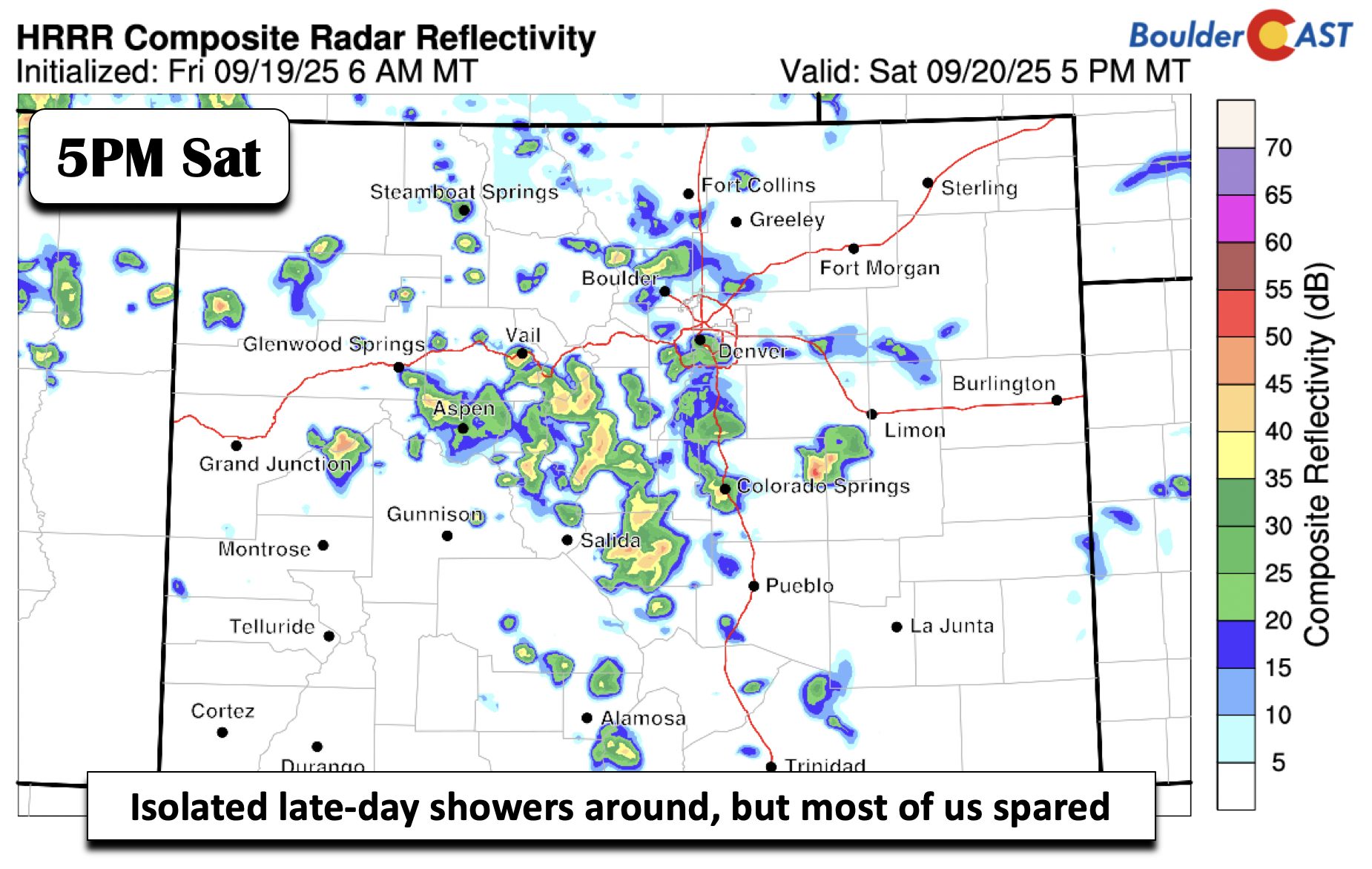
Premium BoulderCAST Daily – Sat 09/20/25 | Just a minor chance of a shower

We have a chance of some late-day showers today and Sunday, though that chance appears higher today. The image below shows a simulated depiction of what the radar may look like later today and this evening. A decent amount of storm activity should reside over the higher terrain, but how much of that stays intact by the time it reaches …

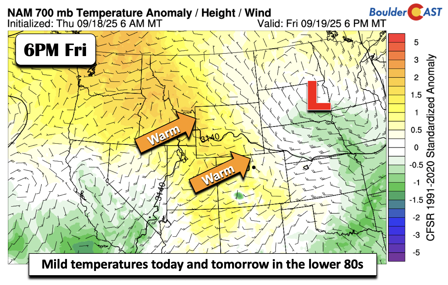
Premium BoulderCAST Daily – Fri 09/19/25 | Staying mild in the low 80s

Mild temperatures will end our work week and start the weekend. A relatively benign pattern is in place these next few days. There are a few features of note, but most of which are subtle in terms of impacts. The most noteworthy is a mild airmass with highs these next few days in the lower 80s. The image below shows …

Premium This Weekend in Colorado Weather: Quiet days ahead with warmth returning, but another cooldown is likely early next week

As expected, the slow-moving storm system that crept past northern Colorado this week didn’t pack much punch for the Boulder-Denver corridor. Most spots saw light rain on two or three days, but totals stayed modest. Boulder officially picked up just 0.27", and Denver (DIA) wasn’t much better at 0.30". The only real outlier was southern Fort Collins, where a round …

Premium BoulderCAST Daily – Wed 09/17/25 | Staying cool with a few late-day storms, more widespread activity stays south of Denver

If you were anywhere near the Boulder-Denver area last night, chances are you heard the rumbles. Even if the earlier showers missed you, that late-evening thunderstorm line around 9–10PM likely made its presence known. https://twitter.com/BoulderCAST/status/1968146961791586666 Rain totals across town generally stayed under 0.25", though a few pockets may have squeezed out a bit more. We’re still riding an unsettled pattern …

Premium BoulderCAST Daily – Tue 09/16/25 | Mostly cloudy and cooler with a conditional risk of damaging hail, mainly east of Denver

After a toasty Monday with highs in the mid-80s across the Metro area, we’re in for a noticeable shift in the weather pattern this week. A slow-moving upper-level trough is making its way toward Colorado, and it’s bringing cooler temps, more clouds, and a decent shot at thunderstorms. As of Tuesday morning, the center of that trough is parked over …

« Older posts Newer posts »