Category: BoulderCAST Daily (Page 46 of 465)

This page contains an index of our BoulderCAST Daily forecast updates. If you are NOT a Premium member, you will only see a tiny sample of this content below. Subscribe to BoulderCAST Premium to gain access to all of our daily forecasts which get published every morning.
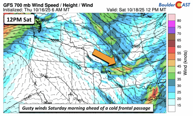
Premium BoulderCAST Daily – Fri 10/17/25 | Quiet to end the week but gusty Saturday ahead of a cold front

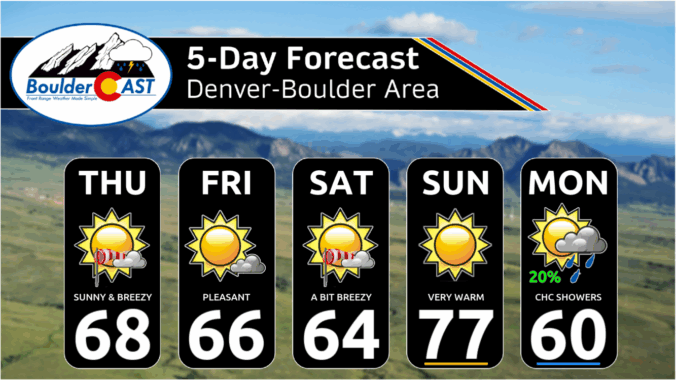
The week ends on a quiet note with highs in the middle 60s on this Friday. At mid-levels, there is just a weak trough axis stretching from Nebraska into Colorado and New Mexico. We are watching a cold front, currently over Montana and Idaho, that will usher in some gusty winds tomorrow. Expect lots of sunshine this afternoon as those …

Premium This Weekend in Colorado Weather: Sunny & dry with occasional breezes through Sunday, our next storm arrives Monday

Yesterday’s showers were hit-or-miss across northeast Colorado, with Boulder and Denver staying dry. A few lonely storms popped east of I-25 by evening—mostly harmless, but it was nice to spot some distant cumulonimbus towers. That might’ve been our last glimpse of thunderheads for 2025! https://twitter.com/BoulderCAST/status/1978593004974981312 This morning, the final band of showers is sweeping through Fort Collins and should wrap …

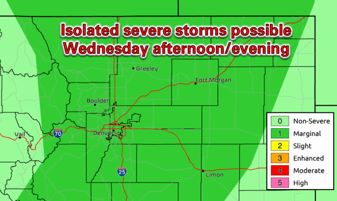
Premium BoulderCAST Daily – Wed 10/15/25 | Warm with a slight chance of rare October thunderstorms; cooler and gusty tomorrow

Happy Ides of October! We've got a dynamic setup unfolding over the next 24 hours across the Front Range, thanks to a strong closed-low pressure system spinning just northwest of us. As of this morning, satellite imagery shows the low centered over Nevada, with a stout high parked over the Arklatex. Between the two, a strengthening southwest flow is surging …

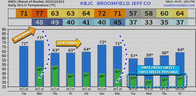
Premium BoulderCAST Daily – Tue 10/14/25 | Warming up to near 70° today & 80° tomorrow

The Front Range is in for a warm-up over the next couple of days as southerly winds ramp up ahead of our next storm system, expected to arrive Thursday. The Euro model’s 500mb height anomaly map paints a clear picture: a deep trough is digging in from California while a strong ridge builds over the southern Plains—classic setup for enhanced …

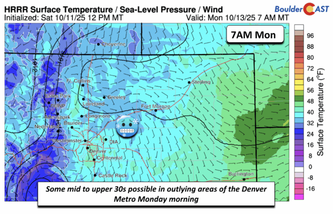
Premium BoulderCAST Daily – Sun 10/12/25 | A cold front arrives today for gusty winds and patchy frost Monday morning

Adry cold front advances eastward this afternoon from the higher terrain as an area of low pressure tracks into Canada. The cold air will be slow to build onto the Plains, but it will make for a breezy afternoon across both the Foothills and the Denver Metro area. A tight pressure gradient will favor a decent downslope wind event. The …

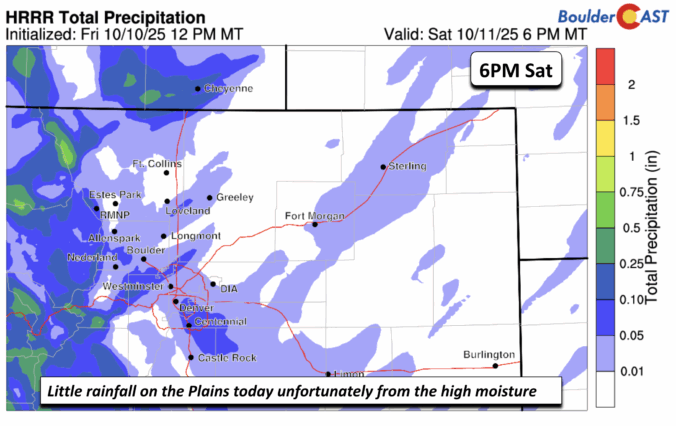
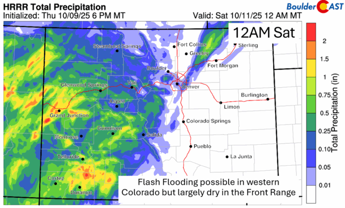
Premium BoulderCAST Daily – Sat 10/11/25 | A few isolated showers but we escape largely dry under the high moisture levels

Near record moisture continues to be across the state. The remnants of Priscilla will get drawn up into the region today into this evening as a deeper trough over the west and northwest drives it northeastward. The very high moisture content in the atmosphere will continue to favor upslope rain and showers over the higher terrain today. As a result, …

Premium BoulderCAST Daily – Fri 10/10/25 | Only isolated showers or a storm, despite near-record moisture from Priscilla

Near record moisture continues to advect northeastward into the Four Corners area and all of Colorado today and into Saturday as Tropical Storm Priscilla approaches Baja California. While the system will not get anywhere close to us, a nice plume of moisture has advected well north of the system. Much of the impacts from the record moisture levels will be …

« Older posts Newer posts »