Category: BoulderCAST Daily (Page 193 of 465)

This page contains an index of our BoulderCAST Daily forecast updates. If you are NOT a Premium member, you will only see a tiny sample of this content below. Subscribe to BoulderCAST Premium to gain access to all of our daily forecasts which get published every morning.
BoulderCAST Daily – Fri 05/06/22 | Warming well above average with gusty winds

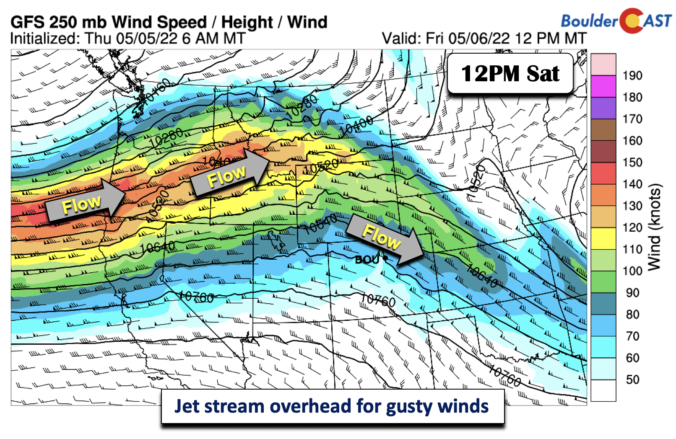
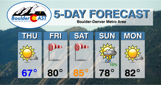
Astrong upper-level jet is traversing the area today from the northwest. The parent jet stream is located over the northwestern U.S., with a jet streak diving southeast into Wyoming/Colorado and Kansas. The jet streak over us this afternoon will fuel gusty northwest winds in the Foothills and on the Plains. Temperatures today will rise some 8-10 degrees above normal for …

Weekend Weather Outlook: May 5, 2022

What a change of pace this week has been with a return to our normal rainy springtime weather. We've seen measurable precipitation each day this week in Boulder. Precipitation amounts have been good, but not great. Most areas have seen between 0.4" and 1.1" of moisture as shown in the graphic below. Unfortunately, that's where the good news ends on …

BoulderCAST Daily – Wed 05/04/22 | Cold, cloudy & showery today, the sun returns tomorrow

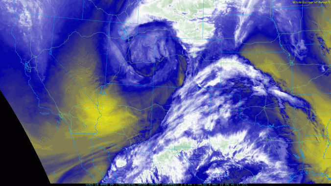
Water vapor satellite imagery from GOES-East shows the closed mid-level low pressure spinning across northwestern Colorado this morning. After a burst of moderate rainfall late yesterday evening, the Denver area got pulled into the dry slot during the overnight with mostly dry and overcast conditions prevailing. If you recall yesterday's post, we discussed a large variation in the track of …

BoulderCAST Daily – Tue 05/03/22 | Fog burns off to partly cloudy skies, another wet day tomorrow

Today will be a day of transition as the storm which brought beneficial rain and snow to the entire area on Monday heads east, while another potent low pressure is already gaining strength over Idaho. That secondary system has its focus set directly on Colorado --- it will be a sizable player for us later today through Wednesday night. Peeking …

BoulderCAST Daily – Sun 05/01/22 | Threat of severe storms for the first of May

Astrong strong system will be approaching this evening, which will then encroach on the entire state tomorrow, bringing beneficial rain. But today, ahead of the system, it will bring a severe weather threat. The system of note will be out over central Utah by this evening, so still out to our west. However, east of the trough, intense lift will …

BoulderCAST Daily – Sat 04/30/22 | Last day of April is pleasant as winds die down today

Tstrong low pressure system over our area yesterday that brought high winds, fire danger, and even some hail/storms, has exited off into the upper Mississippi Valley, with its cold front over the Midwest. The front actually lingers along the Front Range but will wash out this afternoon as the gradient from the storm weakens and shifts out of our state. …

BoulderCAST Daily – Fri 04/29/22 | Fire Danger high today with gusty winds and dry fuels

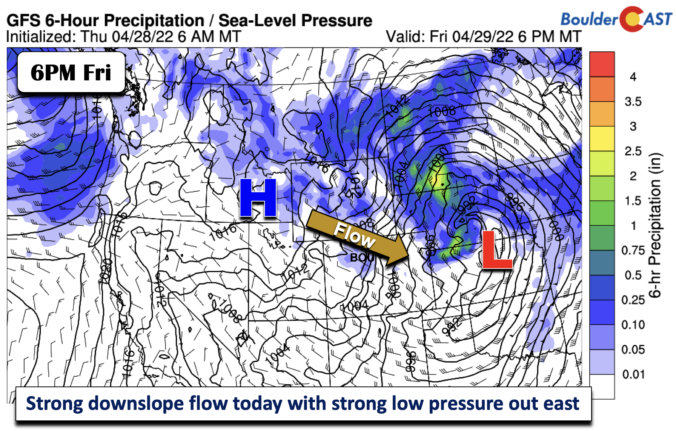
Astrong mid-level shortwave trough will track from Wyoming into central Nebraska this afternoon and early evening. In terms of clouds, we'll see a series of wave clouds move from west to east due to the orographic effects from the storm. But, more importantly, the sensible weather impacts will be felt with a high fire danger across the Plains. As the …

« Older posts Newer posts »