Category: BoulderCAST Daily (Page 143 of 465)

This page contains an index of our BoulderCAST Daily forecast updates. If you are NOT a Premium member, you will only see a tiny sample of this content below. Subscribe to BoulderCAST Premium to gain access to all of our daily forecasts which get published every morning.
BoulderCAST Daily – Sat 06/24/23 | Warm and dry ahead of a benign cold front

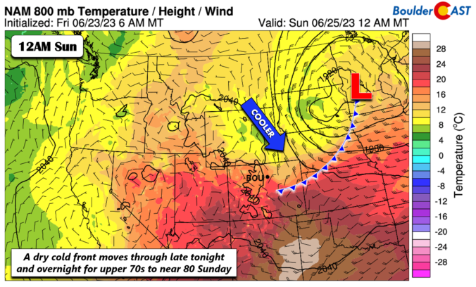
Atrough of low pressure will be over the Dakotas this afternoon and evening. To its south over us, west-northwest flow at mid-levels will reach speeds up to 50 mph with downslope flow in place. Most of the energy with the trough is to our east and northeast over the upper Mississippi valley. In addition, we are bone dry over Colorado …

BoulderCAST Daily – Fri 06/23/23 | Drier weather today into the weekend

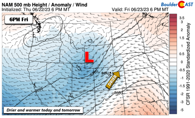
Drier weather ensues today and through the weekend and into next week for most of the state. We do have an area of low pressure over NW Wyoming today, but southwest flow from New Mexico is bringing in much drier air and downslope flow this afternoon. This will supress any chance of storms today. We should see highs in the …

BoulderCAST Daily – Sun 6/18/23 | 80s and dry

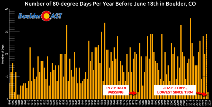
Detailed Forecast Discussion: You made it!  You made it to the first day of summer-like weather after what felt like ages of gloom and rain!  Congratulations!  Saturday proved to be nicer than expected,  with only some passing light rain, the heavier stuff missing the Boulder area, but Sunday should be completely dry.  I'm not even sure I can say that …

BoulderCAST Daily – Sat 6/17/23 | Still cool, less rain

Detailed Forecast Discussion: We have some good news for those who are feeling a little stir crazy and blah after what feels like a never-ending spring-like weather pattern, Saturday is your last day of suffering.   Hang in there, sunshine lovers! After a gloomy, rainy Friday, with some severe weather south and southeast of Denver, Saturday morning may begin with fog …

BoulderCAST Daily – Fri 06/16/23 | Heavy rain today with a risk of flash flooding

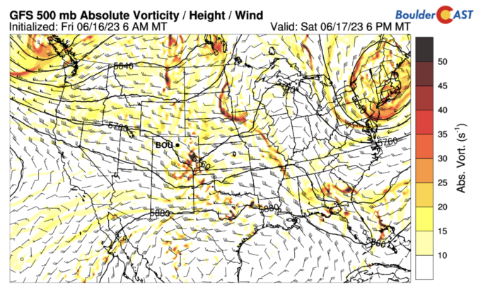
Aweak front came through overnight which has ushered in low-level upslope rich in moisture to the Front Range (below on bottom left). This uptick in moisture combined with a mid-level shortwave (below on top left) will set the stage for an active day of rain for our area on this Friday. It seemed as though the overnight surge may be …

« Older posts Newer posts »