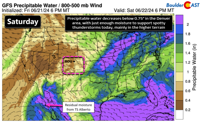
After a couple days of more pronounced late-day thunderstorm activity, today will begin our drying trend as high pressure in the southeast United States phases westward, setting up shop across New Mexico and Arizona this weekend and throughout much of next week. The 500mb height anomaly forecast animation below spans until Thursday when the ridge will be locked in to …
In 2015, the U.S. nearly set the record for lowest annual tornadic death toll, but a late December-outbreak in Texas tragically took 2015 way out of contention.