Author: Ben Castellani (Page 8 of 306)
Ben grew up in southwestern Pennsylvania and holds both a bachelor's and a master's degree in Meteorology, the latter being from CU Boulder. His hometown received nearly three feet of snow from the Storm of the Century back in March of 1993, sparking his initial interest in impactful weather. Ben currently works on remote sensing and data analysis software at NV5 Geospatial Software in Boulder.

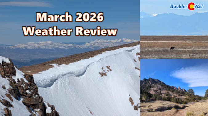
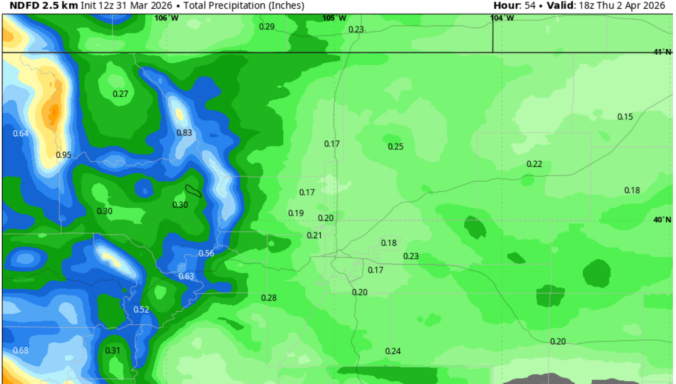
March 2026 delivered one of Colorado’s most jarring spring months on record with temperatures skyrocketing to unprecedented levels as the region shattered long‑standing warmth records for weeks on end. Western snowpack rapidly declined during this multi-week heatwave, reaching historic lows in a majority of basins across the West, including every major basin in Colorado. Brief interjections of snow occurred during the month across the Front Range, but most the state ended with well below normal precipitation. Here’s a quick and colorful graphical recap of our weather during March and how it relates to climatology.


Live View of Boulder

Current Conditions

Live Radar

Latest Smoke Forecast

Recent Premium Posts

BoulderCAST Daily – Fri 07/31/26 | Marginal Risk of Severe Storms with Smoke and Haze
🌧️ Isolated Storms — This afternoon and evening, with a marginal risk of …
BoulderCAST Daily – Wed 07/29/26 | Final Storm‑Filled Afternoon Before an Expanding Desert Southwest Heat Dome Takes Over
🌧️ Lingering Monsoon Moisture — Lingering Tap One last day of beneficial rainfall …
BoulderCAST Daily – Tue 07/28/26 | Front Range Primed for Widespread Thunderstorms as Monsoon Reloads
🌩️ Monsoon moisture surge — Deep moisture availability today, both aloft and at …
3-Day Forecast

Trending Content

© 2026 Front Range Weather, LLC