Author: Ben Castellani (Page 76 of 358)

Ben grew up in southwestern Pennsylvania and holds both a bachelor's and a master's degree in Meteorology, the latter being from CU Boulder. His hometown received nearly three feet of snow from the Storm of the Century back in March of 1993, sparking his initial interest in impactful weather. Ben currently works on remote sensing and data analysis software at NV5 Geospatial Software in Boulder.
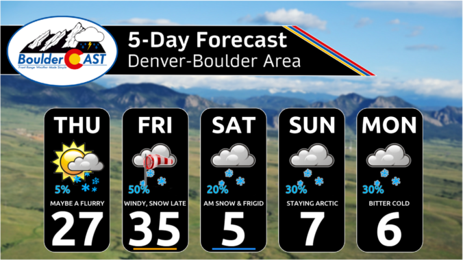
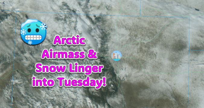
Arctic Blast Saturday Update: Waking up to a thin blanket of snow and temperatures in the negative teens, but the worst still lies ahead!

The Arctic air has arrived in the Front Range and it’s here to stay for several more days. We take a quick look at the overnight snow totals, the record low temperatures set already Saturday morning, and update you on the forecast for the rest of the weekend. More accumulating snow and even colder temperatures are on the way!

Continue reading

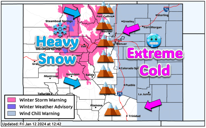
Premium Quick Storm Update – Fri 01/12/24 2:00PM | The Arctic airmass will arrive after sunset with snow to follow, plus an update on the expected “bottom” temperature this weekend

As of 1PM Friday, it's chilly outside with temperatures in the 30s but with winds routinely gusting 25 to 40 MPH across the Denver Metro area. This is creating wind chills mainly in the 20s. It's hard to believe but the conditions right now are warmer than anything else we will feel until Tuesday as the Arctic blast commences here …

Premium BoulderCAST Daily – Thu 01/11/24 | A mostly dry front ushers in colder weather today, but this is just a sampler for the frigid weekend ahead

Acold front is working south across the Denver Metro area early this morning from the north and northeast. This will make for a much chillier affair as cold air oozes southward into northeast Colorado all day long. Temperatures will only warm into the 20s under partly to mostly cloudy skies. Some global models continue to advertise that there could be …

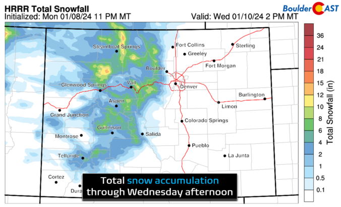
Premium BoulderCAST Daily – Wed 01/10/24 | Windy today, light snow Thursday, and our projected weekend temperatures continue to nosedive

The shortwave disturbance which spawned the plentiful wave clouds late yesterday as well as the snow in the Mountains overnight is working east and out of Colorado this morning. GOES-East mid-level water vapor shows the shortwave departing into Nebraska with notably dry and subsident air just recently taking over across the Denver Metro. We are all waking up to sunny …

Premium BoulderCAST Daily – Tue 01/09/24 | A quiet day in the 40s, but things get busy in the coming days culminating with a major Arctic blast this weekend!

Colorado will be under the influence of a passing friendly ridge of high pressure for today leading to mostly quiet and sunny weather. However, upstream in the Pacific Northwest, our next shortwave disturbance is already heading this way. It will arrive this evening and linger around until Wednesday morning or so. This system will mainly produce orographic snows for west …

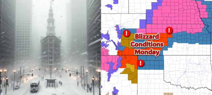
Winter Weather Update: Another southern-track storm passes to our south Sunday night, windy & snowy impacts expected in the Metro area

All is quiet on Sunday, but that will quickly change after midnight Sunday night! The third southern-track storm system in five days will take a more favorable track for the Front Range, leading to a period of snow and gusty winds  in our area early Monday. While there is still some uncertainty in the exact outcome, we discuss the latest forecast including potential snow amounts and where blizzard conditions will unfold on Monday.
Continue reading

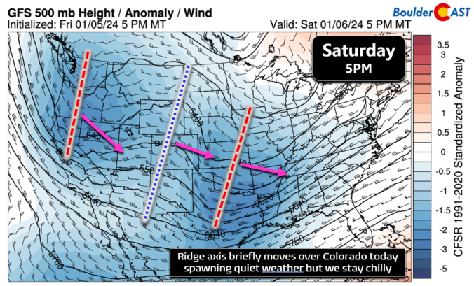
Premium BoulderCAST Daily – Sat 01/06/24 | A calm day between two southern-track storm systems

Two-day snow totals are less than impressive across the Front Range with most of the lower elevations seeing a trace or less. A dusting to 1" was reported across the Foothills and heading south out of the Metro area. Today we will be briefly under a ridge axis that is situated in the calm between two southern-track troughs. While this …

« Older posts Newer posts »