


After a solid dump of springtime snow Sunday night, including widespread thundersnow, things will turn quiet for the week ahead with temperatures trending from downright chilly back to t-shirt weather by week’s end. We recap last night’s snowstorm, check the snowfall totals, and detail the Front Range forecast for the next seven days. Let’s dive in!
Author: Ben Castellani (Page 71 of 358)
Ben grew up in southwestern Pennsylvania and holds both a bachelor's and a master's degree in Meteorology, the latter being from CU Boulder. His hometown received nearly three feet of snow from the Storm of the Century back in March of 1993, sparking his initial interest in impactful weather. Ben currently works on remote sensing and data analysis software at NV5 Geospatial Software in Boulder.
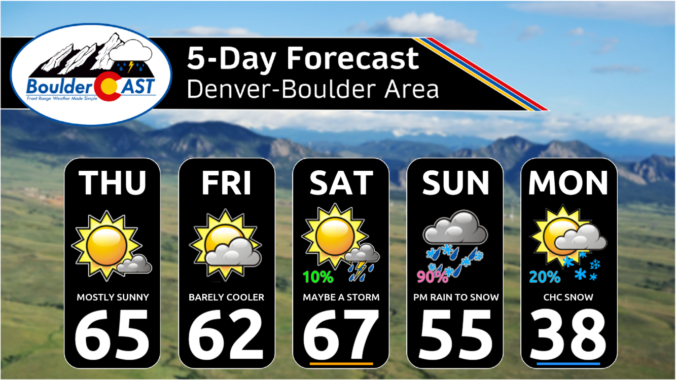
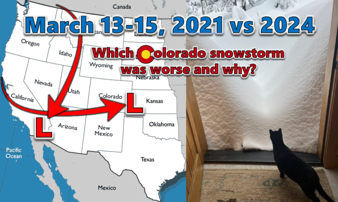
Last week’s dumping of wet snow in the Front Range occurred three years to the day after our most recent significant snowstorm back in March of 2021. We do a comparative analysis between these two epic mid-March snowstorms, examining their distinct storm tracks, the meteorological factors contributing to their varied snowfall production, and discuss their differing forecast hype. We also explore their respective snow totals and distribution across the Denver Metro area, including a detailed account of how these two snowstorms were able to make Front Range history exactly three years apart despite being so fundamentally different.
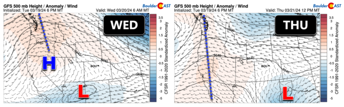
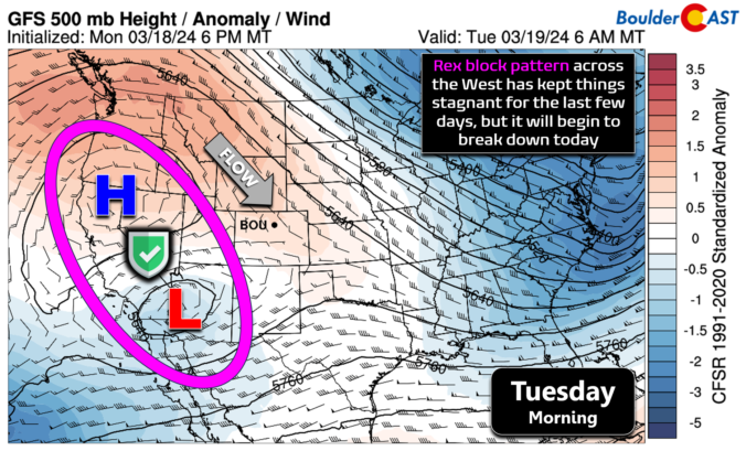
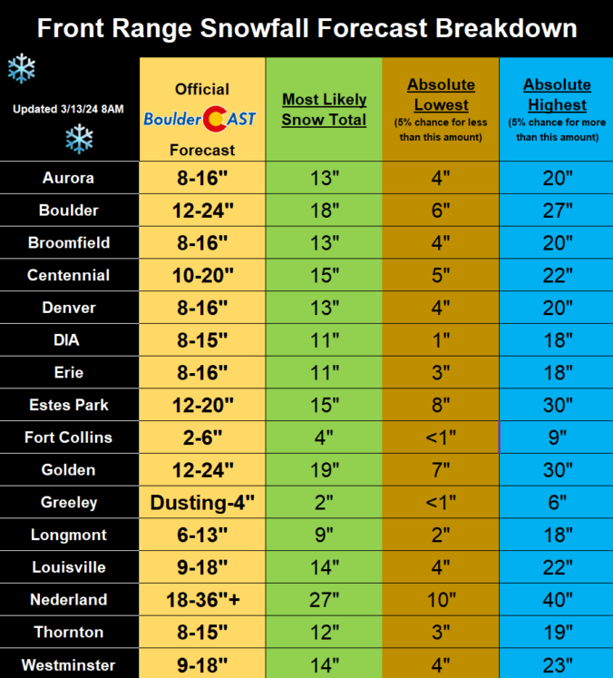
The overarching forecast remains on-track this morning as a significant and highly impactful snowstorm bears down on the Front Range. We review a wide gamut of the most recent model data, with trends suggesting a boom scenario is more likely than a bust. Travel will become extremely difficult (and in some areas of the Foothills, impossible) Wednesday night into Thursday night, with some power outages expected. We give our final thoughts on the impressive winter storm about to slam the Denver Metro area. Buckle up and stay safe!
It will be business as usual the first two days of the week with 60-degree temperatures and dry conditions continuing. However, a major storm system will drop south into the Desert Southwest this week, with impacts expected in the Front Range Wednesday through Friday. All signs point to a significant dumping of upslope precipitation in our area from this storm, most of which will fall as heavy wet snow. There’s still a lot of uncertainty in this week’s forecast, but let’s discuss the latest developments in what could be a historic March winter storm for the Denver Metro area.
Live Radar

Trending Content


Recent Premium Posts

BoulderCAST Daily – Wed 11/11/26 | Mild Days Ahead, But There Are Signs of a More Active November Soon
☀️ Warm & Quiet — Sunshine dominates through Thursday with highs rising from …
BoulderCAST Daily – Tue 11/10/26 | Clouds Increase Today, But Colorado’s Dry Pattern Rolls On
🌤️ A Few More Clouds Today – Mountain wave clouds are developing along …
BoulderCAST Daily – Sun 11/08/26 | Mild November Weather Continues, Even With A Cold Front Midweek
☀️ Sunny and warm for early November – Temperatures in the middle to …
© 2026 Front Range Weather, LLC