Author: Ben Castellani (Page 69 of 358)

Ben grew up in southwestern Pennsylvania and holds both a bachelor's and a master's degree in Meteorology, the latter being from CU Boulder. His hometown received nearly three feet of snow from the Storm of the Century back in March of 1993, sparking his initial interest in impactful weather. Ben currently works on remote sensing and data analysis software at NV5 Geospatial Software in Boulder.
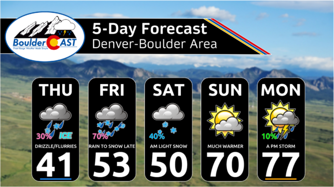
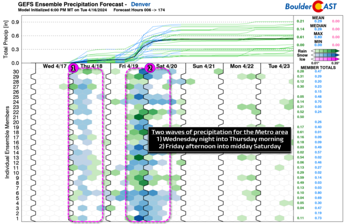
Winter Weather Update: After a month-long break, another spring snowstorm begins late Friday afternoon

After a month long hiatus, widespread accumulating snowfall will return to the Front Range late Friday as a classic jet-forced banded snowfall event unfolds across the area. While final snowfall totals will undoubtedly vary from location to location, we discuss the latest details of the springtime snowflakes knocking on our door, including when things will commence and expected travel impacts.

Continue reading

Premium This Weekend in Colorado Weather: A few days of winter weather ahead, but we’ll be back into the 70s by Sunday!

Alight smattering of rain, drizzle, snow and freezing drizzle fell across the Front Range overnight. There is still some areas of drizzle falling in and near the lower Foothills, including from Boulder, to Golden and Roxborough. Temperatures in these areas range from 29 to 32°F so this is indeed freezing drizzle. Use caution if traveling this morning out there. Wet …

Premium BoulderCAST Daily – Wed 04/17/24 | A breezy & mild Wednesday, but change commences this evening with the arrival of the first cold front

Today will offer one last decent spring day before we transition towards much cooler and slightly unsettled weather for the rest of the week. GOES-East water vapor imagery this morning shows an extensive wave cloud present over the Front Range in response to Pacific moisture streaming in ahead of the next system. This will be thickest in the morning but …

Premium BoulderCAST Daily – Tue 04/16/24 | Morning gloom will give way to sunshine and gusty winds later on

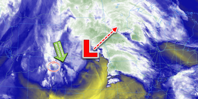
Apotent storm system blew across northern Colorado last evening with an associated cold front and brief but strong downslope wind gusts blasting through the Boulder-Denver area from the northwest. https://twitter.com/BoulderCAST/status/1780030015305826613 The expansive low pressure has moved off to the east this morning, sitting now over parts of Nebraska: As expected, some wrap-around moisture getting pulled in behind the departing low …

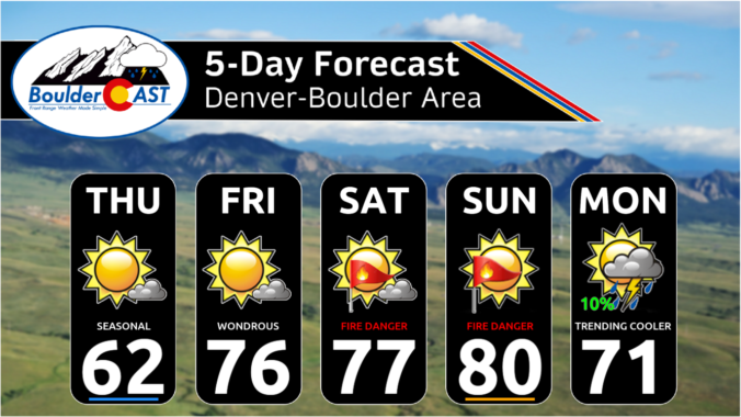
Premium This Weekend in Colorado Weather: Nothing but sunshine and fire danger in the extended forecast

Whether you like it or not, the extended forecast for the Front Range will be mostly sunny, dry and warm as a broad ridge of high pressure sits over the area for the next several days. At the same time, a closed trough will slowly approach with increasingly strong flow aloft taking over across Colorado from the southwest. This will …

Premium BoulderCAST Daily – Wed 04/10/24 | A tad cooler today with a small chance of thundershowers, but tomorrow we begin a significant warming trend

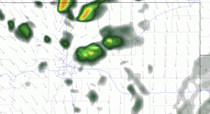
Today will feature a weak shortwave disturbance dropping across Colorado from the northwest ---- this will lead to increased cloud cover, cooler temperatures, and a slight chance of a few showers and thunderstorms in the Metro area. After this shortwave passes through, the rest of the week will be sunny and quiet with temperatures on the rise... The HRRR model …

Premium BoulderCAST Daily – Tue 04/09/24 | A mild & sunny Tuesday, plus a look at yesterday’s eclipse

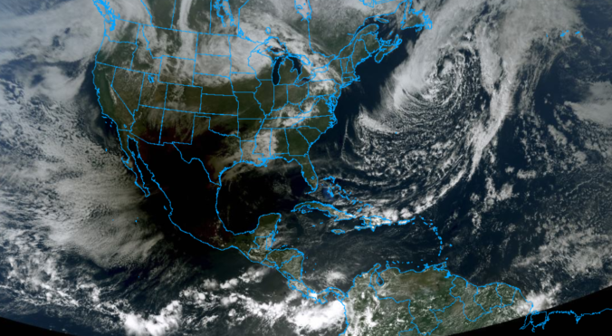
Aswath of drier air has setup aloft over northern Colorado today and that will lead to a quiet and sunny Tuesday for us. A southern-track low continues to spin to our south near the nub of New Mexico with minimal to no influence on our weather expected here in the Front Range. Today will be sunny and mild --- expect …

« Older posts Newer posts »