Author: Ben Castellani (Page 62 of 303)
Ben grew up in southwestern Pennsylvania and holds both a bachelor's and a master's degree in Meteorology, the latter being from CU Boulder. His hometown received nearly three feet of snow from the Storm of the Century back in March of 1993, sparking his initial interest in impactful weather. Ben currently works on remote sensing and data analysis software at NV5 Geospatial Software in Boulder.
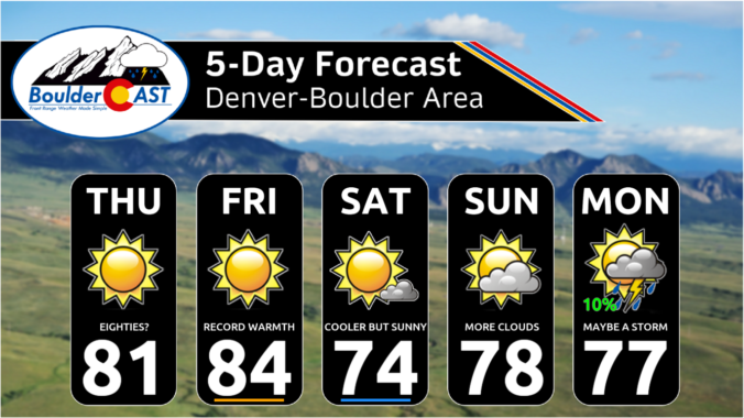
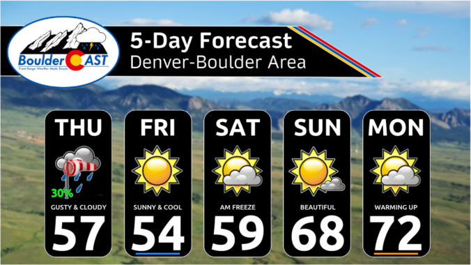
Change is on the way! Unseasonably warm temperatures will continue across the Front Range for a few more days leading up to a significant pattern shift later this week. A series of cold fronts will impact the area in the days to come, knocking our high temperatures from the 80s on Monday into the 40s by Friday, though precipitation looks scant during this timeframe. However, the first Arctic blast of the season is taking shape for the upcoming weekend with temperatures set to plummet further alongside our first potential snowfall of the season. It’s about time!
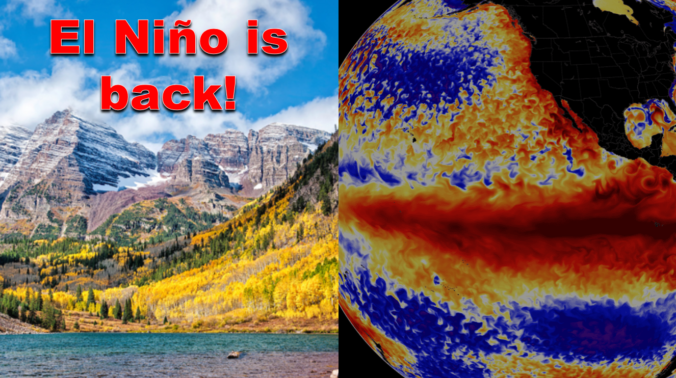
After enduring three consecutive La Niña winters, El Niño has taken over the globe once again intensifying in unusually rapid fashion. As of writing in mid-October, a strong El Niño is underway with impacts that will stretch globally in the months to come. We take a look at the current state of ENSO and what to expect from Mother Nature this winter across the Front Range lower elevations and Mountains.

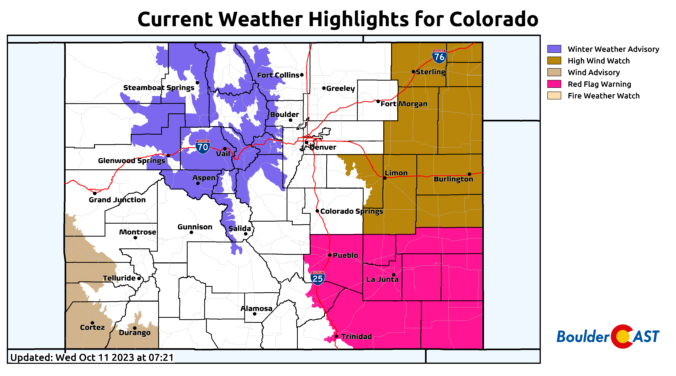
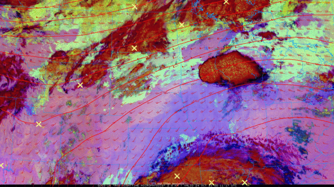
The first real storm of the season is heading towards Colorado, but unfortunately it will track too far north limiting the overall impacts to the Denver Metro area. While the Mountains are poised to receive plenty of snow from this system, the lower elevations will see just a little bit of rain alongside gusty downslope winds. In the wake of the storm, temperatures are expected to drop below freezing Friday night bringing an end to the growing season for many plants. Let’s take a look at the latest timing of the rain and snow and discuss the drastic change in temperatures headed our way!
Continue reading

Live View of Boulder

Current Conditions

Live Radar

Recent Premium Posts

BoulderCAST Daily – Sun 05/31/26 | Dry and warm today but rain chances increase this week
🌦️ Overall dry and warm Sunday, though cannot rule out a very widely …
BoulderCAST Daily – Sat 05/30/26 | A stray shower today as most activity resides well east of Denver
🌦️ Spotty showers today, mainly well east of the Denver Metro area, where …
BoulderCAST Daily – Fri 05/29/26 | A Marginal Risk of Severe Isolated Storms
🌦️ Spotty showers this afternoon, mainly noon and 4 PM, with highs in …
3-Day Forecast

Trending Content

© 2026 Front Range Weather, LLC