Author: Ben Castellani (Page 255 of 301)
Ben grew up in southwestern Pennsylvania and holds both a bachelor's and a master's degree in Meteorology, the latter being from CU Boulder. His hometown received nearly three feet of snow from the Storm of the Century back in March of 1993, sparking his initial interest in impactful weather. Ben currently works on remote sensing and data analysis software at NV5 Geospatial Software in Boulder.
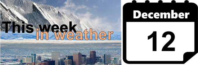
Our weather for the week ahead will be dominated by the overhead jet stream. This will provide strong northwest flow throughout the week, bringing more snow to the mountains and a slight chance of snow on the Plains. We’re also tracking a potential wintry event for the tail-end of the week. Continue reading for all the details.
We examine last week’s winter storm and review the snow totals and temperatures. Where does this leave us in relation to normal for the 2016-2017 winter season? Read on to find out.
Hot of the heels of our December outlook calling for a much-needed change in our weather pattern, the first snow-maker of the month arrives tomorrow as a quick-moving system skirts Colorado from the northwest. In our final forecast, we detail the specifics on timing, intensity, and how much snow to expect alongside our first sub-zero temperatures in almost two years. Continue reading

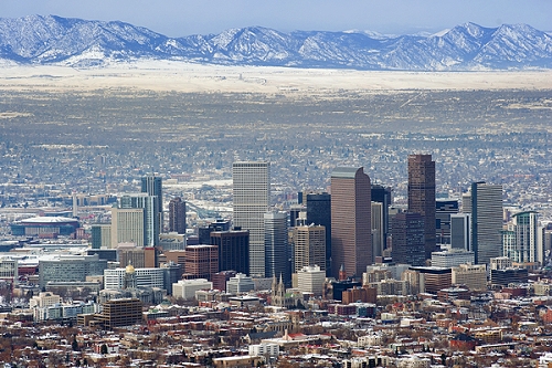
Live View of Boulder

Current Conditions

Live Radar

Recent Premium Posts

BoulderCAST Daily – Sun 05/10/26 | Cooler today but the 80s are not far behind
☀️ Sunshine and pleasant temperatures with upper 60s for our Sunday 🌡️ Trending …
BoulderCAST Daily – Sat 05/09/26 | Watching some late-day showers ahead of a cold front tonight
🌧️ Scattered showers this afternoon and evening ahead of a cold front setting …
BoulderCAST Daily – Fri 05/08/26 | Warmer weather takes hold
☀️ Warmer and calmer skies ahead: Expect lots of sunshine from the upper …
3-Day Forecast

Trending Content

© 2026 Front Range Weather, LLC