



After a brief review of last Friday’s snow, we cover the forecast for the upcoming week. Overall it will be quiet with very comfortable temperatures, though we are watching a Pacific cold front set to bring Mountain snow, strong winds, and cooler weather towards the end of the week.
Author: Ben Castellani (Page 254 of 358)
Ben grew up in southwestern Pennsylvania and holds both a bachelor's and a master's degree in Meteorology, the latter being from CU Boulder. His hometown received nearly three feet of snow from the Storm of the Century back in March of 1993, sparking his initial interest in impactful weather. Ben currently works on remote sensing and data analysis software at NV5 Geospatial Software in Boulder.
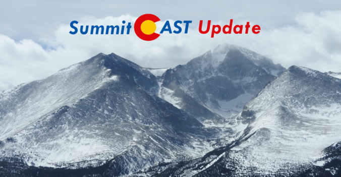
The weather last Friday was near-perfect for a hike to the summit of 11,427-foot Twin Sisters Peak in Rocky Mountain National Park. Thanks to the forecast guidance provided by SummitCAST, our team was able to squeeze in a fun late-March excursion with no concerns about ugly weather. Twin Sisters is just one of many lower elevation hikes coming soon to SummitCAST. We review the weather from our recent hike and update you on the status of SummitCAST development.
Live Radar

Trending Content


Recent Premium Posts

BoulderCAST Daily – Sat 11/14/26 | A Pair of Foggy Mornings With Little Rain
🌫️ A Pair of Foggy Mornings — Moisture banked up along the Foothills …
BoulderCAST Daily – Fri 11/13/26 | Quiet Today But Turning Unsettled Tomorrow
☀️ Quiet Today — Sunshine and low to middle 60s across the Front …
This Weekend in Colorado Weather: The Quiet Pattern Ends as Storm Activity Picks Up Across the West
After weeks of sunshine, mild afternoons, and storm systems repeatedly missing Colorado to …
© 2026 Front Range Weather, LLC