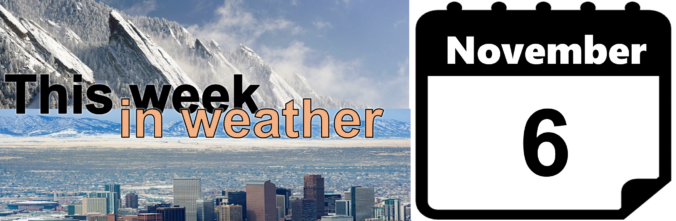
This week’s weather is front-loaded with light snow and colder temperatures Monday night into Tuesday. We discuss potential snow accumulations for the Front Range, then detail quiet and seasonal conditions returning for the remainder of the week.
Author: Ben Castellani (Page 224 of 301)
Ben grew up in southwestern Pennsylvania and holds both a bachelor's and a master's degree in Meteorology, the latter being from CU Boulder. His hometown received nearly three feet of snow from the Storm of the Century back in March of 1993, sparking his initial interest in impactful weather. Ben currently works on remote sensing and data analysis software at NV5 Geospatial Software in Boulder.

The first high wind event of the “winter” season is upon us. We touch on why these type of downslope events happen, and provide details on the timing and intensity of the strongest winds.
From summer to winter in the blink of an eye! There has been quite the weather transition in the last 48 hours. We review yesterday’s snowfall and give some insight into when we may see our next.

Temperatures are climbing to near-record levels into the low 80’s this afternoon. Would you believe that by this time tomorrow we’ll be 40 to 50 degrees colder with snowflakes flying? That is the situation at hand as a quick-moving storm system is set to clip eastern Colorado. Read on for details.

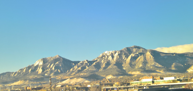
Live View of Boulder

Current Conditions

Live Radar

Recent Premium Posts

BoulderCAST Daily – Sun 05/10/26 | Cooler today but the 80s are not far behind
☀️ Sunshine and pleasant temperatures with upper 60s for our Sunday 🌡️ Trending …
BoulderCAST Daily – Sat 05/09/26 | Watching some late-day showers ahead of a cold front tonight
🌧️ Scattered showers this afternoon and evening ahead of a cold front setting …
BoulderCAST Daily – Fri 05/08/26 | Warmer weather takes hold
☀️ Warmer and calmer skies ahead: Expect lots of sunshine from the upper …
3-Day Forecast

Trending Content

© 2026 Front Range Weather, LLC