
Our forecast for the holiday weekend covers two separate wind storms, very warm weather across the Plains, and President’s Day snowfall.
Author: Ben Castellani (Page 215 of 301)
Ben grew up in southwestern Pennsylvania and holds both a bachelor's and a master's degree in Meteorology, the latter being from CU Boulder. His hometown received nearly three feet of snow from the Storm of the Century back in March of 1993, sparking his initial interest in impactful weather. Ben currently works on remote sensing and data analysis software at NV5 Geospatial Software in Boulder.
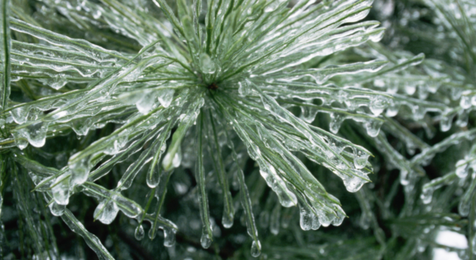
This winter has slowly become the “Winter of Freezing Drizzle” for the Front Range. Many of you have reached out to us wondering why there has been so many occurrences this year in particular. In short, the finger can be pointed at La Niña. However, the true answer is a little more complex.
We’re tracking two wintry systems for the week ahead. The first one will mainly impact the higher elevations on Monday. The second one is scheduled to arrive on Thursday with perhaps better chances for snow across the Denver Metro area. Read on as we detail for the forecast for the next five days.
Saturday’s snow storm amounted to 5.7″ in Boulder and 2.2″ in Denver.
A mix bag of wintry weather will be present across the Metro area through Saturday evening. Read on as we discuss how things will play out and provide our snowfall forecast for Saturday.

Live View of Boulder

Current Conditions

Live Radar

Recent Premium Posts

BoulderCAST Daily – Sun 05/10/26 | Cooler today but the 80s are not far behind
☀️ Sunshine and pleasant temperatures with upper 60s for our Sunday 🌡️ Trending …
BoulderCAST Daily – Sat 05/09/26 | Watching some late-day showers ahead of a cold front tonight
🌧️ Scattered showers this afternoon and evening ahead of a cold front setting …
BoulderCAST Daily – Fri 05/08/26 | Warmer weather takes hold
☀️ Warmer and calmer skies ahead: Expect lots of sunshine from the upper …
3-Day Forecast

Trending Content

© 2026 Front Range Weather, LLC