


Author: Ben Castellani (Page 197 of 358)
Ben grew up in southwestern Pennsylvania and holds both a bachelor's and a master's degree in Meteorology, the latter being from CU Boulder. His hometown received nearly three feet of snow from the Storm of the Century back in March of 1993, sparking his initial interest in impactful weather. Ben currently works on remote sensing and data analysis software at NV5 Geospatial Software in Boulder.
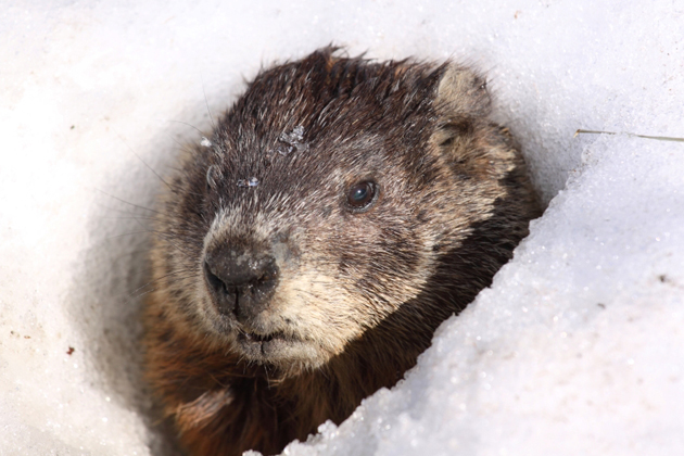
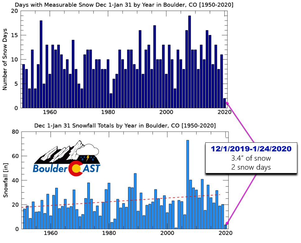
Over the course of the next 24 hours, there will be a drastic change in our weather! Temperatures will fall nearly 60 degrees, with the warm spring breezes of Sunday afternoon being replaced with freezing drizzle, snowflakes, and bitter cold. Let’s take a look at the incoming winter storm set to drop our first significant snowfall of the New Year, including timing and snowfall amounts.
*Premium Storm Update* Mon 2/3/2020 8:00AM: We discuss when the freezing drizzle will change to snow and why we think Monday’s evening commute will be very treacherous. Click HERE to read.
Live Radar

Trending Content


Recent Premium Posts

This Weekend in Colorado Weather: The Quiet Pattern Ends as Storm Activity Picks Up Across the West
After weeks of sunshine, mild afternoons, and storm systems repeatedly missing Colorado to …
BoulderCAST Daily – Wed 11/11/26 | Mild Days Ahead, But There Are Signs of a More Active November Soon
☀️ Warm & Quiet — Sunshine dominates through Thursday with highs rising from …
BoulderCAST Daily – Tue 11/10/26 | Clouds Increase Today, But Colorado’s Dry Pattern Rolls On
🌤️ A Few More Clouds Today – Mountain wave clouds are developing along …
© 2026 Front Range Weather, LLC
You must be logged in to post a comment.