Author: Ben Castellani (Page 135 of 301)
Ben grew up in southwestern Pennsylvania and holds both a bachelor's and a master's degree in Meteorology, the latter being from CU Boulder. His hometown received nearly three feet of snow from the Storm of the Century back in March of 1993, sparking his initial interest in impactful weather. Ben currently works on remote sensing and data analysis software at NV5 Geospatial Software in Boulder.


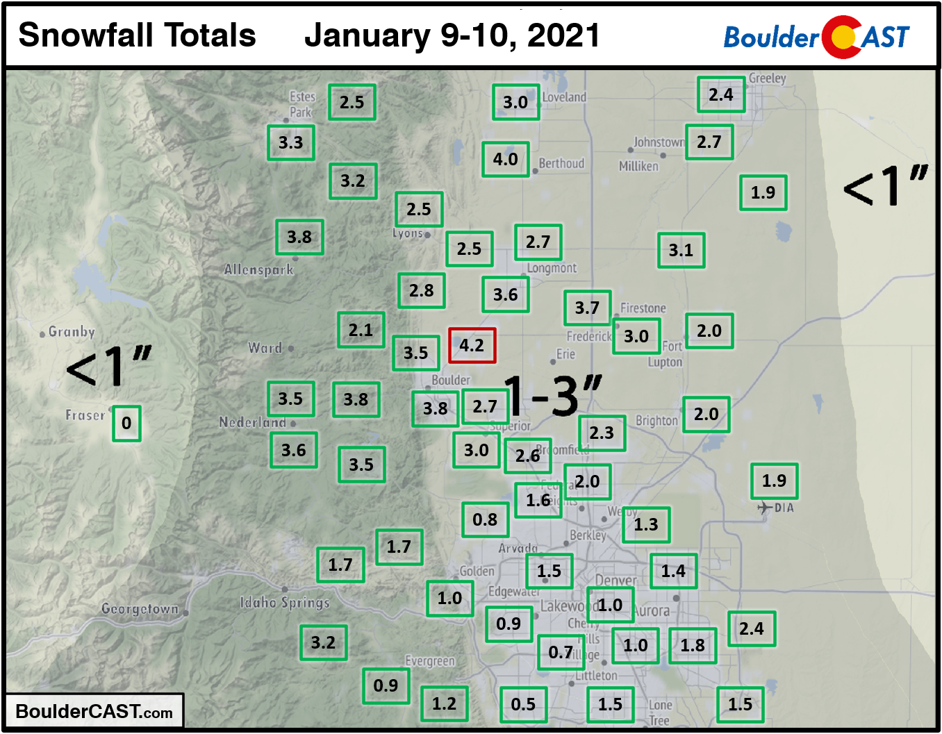
Shown below is our snowfall forecast map with actual storm totals overlaid in boxes. Green boxes indicate that our forecast verified to within one inch of the observed snowfall. Red did not (there are no red).
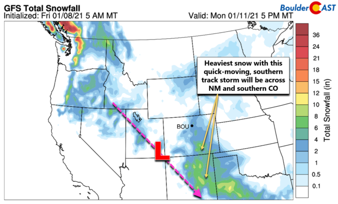
It hasn’t snowed in our area since last year! Well….December 28th to be more precise. However, white stuff is once again in the forecast to begin 2021. A Four Corners low pressure system will spread winter weather back into the Front Range Saturday into Saturday night. Let’s take a look at the timing and potential snowfall amounts in what is sure to be another disappointing snowfall event.
UPDATE (7:00AM Sat 1/9/21): Adjusted snowfall forecast map slightly
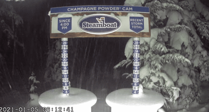

The first week of 2021 will not make much of a mark for the Front Range. We’re watching a series of quick-moving but ultimately weak storm systems that will scurry across the Rockies throughout the upcoming week. Mountain snow will be the main story, but we’ve also got a bora wind event in the works for the Plains and possibly some late-week snow as well. Read on for all the details.

Live View of Boulder

Current Conditions

Live Radar

Recent Premium Posts

BoulderCAST Daily – Fri 05/01/26 | Warming up this weekend
🌡️ Warming up this weekend, from the upper 50s-60 today to the upper …
BoulderCAST Daily – Tue 04/28/26 | Staying cool with a couple showers, the late-week storm is still the main event despite trending south
🌧️ Morning wave = main show, with light rain showers and Foothills wet …
BoulderCAST Daily – Sun 04/26/26 | Showers and some storms later today and this evening
🌧️ A wet afternoon and early evening, with showers and a few rumbles …
3-Day Forecast

Trending Content

© 2026 Front Range Weather, LLC
You must be logged in to post a comment.