


Author: Ben Castellani (Page 12 of 310)
Ben grew up in southwestern Pennsylvania and holds both a bachelor's and a master's degree in Meteorology, the latter being from CU Boulder. His hometown received nearly three feet of snow from the Storm of the Century back in March of 1993, sparking his initial interest in impactful weather. Ben currently works on remote sensing and data analysis software at NV5 Geospatial Software in Boulder.
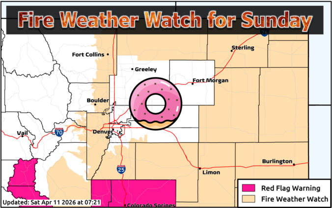
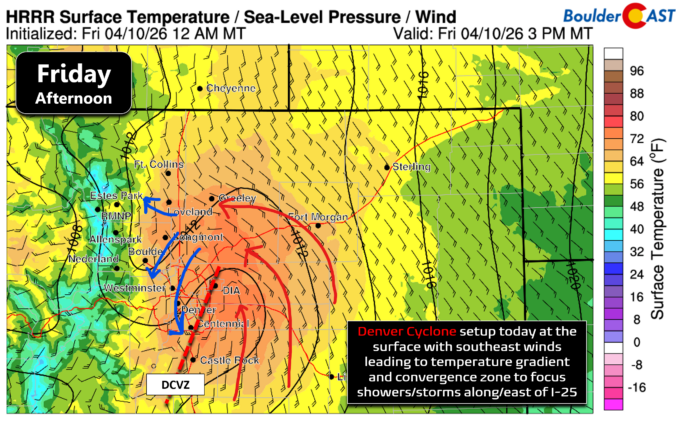
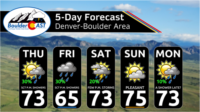
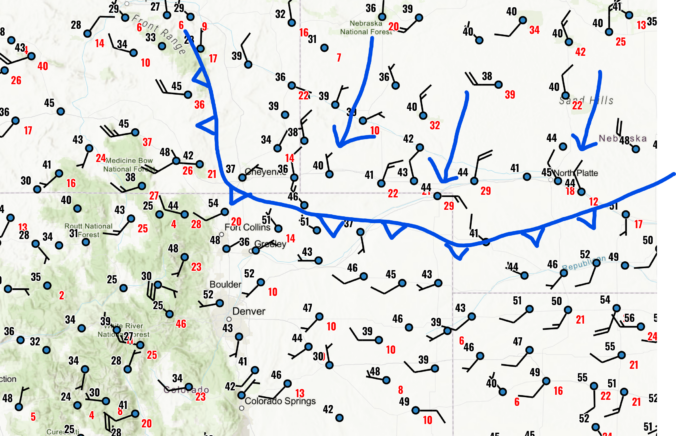
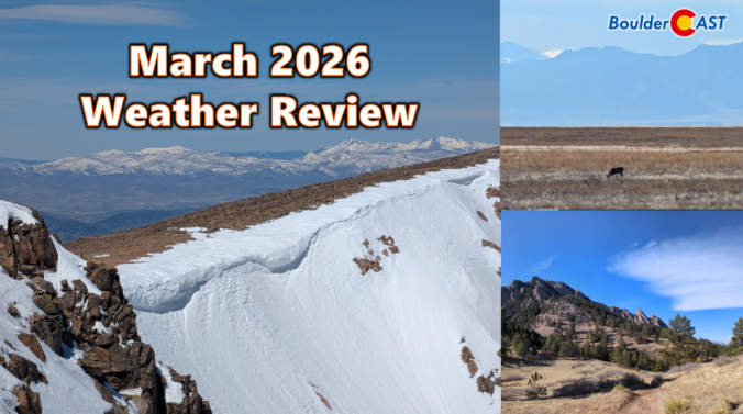
March 2026 delivered one of Colorado’s most jarring spring months on record with temperatures skyrocketing to unprecedented levels as the region shattered long‑standing warmth records for weeks on end. Western snowpack rapidly declined during this multi-week heatwave, reaching historic lows in a majority of basins across the West, including every major basin in Colorado. Brief interjections of snow occurred during the month across the Front Range, but most the state ended with well below normal precipitation. Here’s a quick and colorful graphical recap of our weather during March and how it relates to climatology.



Live View of Boulder

Current Conditions

Live Radar

Latest Smoke Forecast

Recent Premium Posts

This Weekend in Colorado Weather: Autumn on Hold as Warm, Dry Pattern Dominates Early October
🌧️ Southern Colorado drenched, Front Range bone‑dry: The upper‑low parked in SE Colorado …
BoulderCAST Daily – Sun 09/27/26 | A Mild Sunday, Followed by Wet Weather This Week
☀️ Mild Sunday — Highs well into the lower 80s with a few …
BoulderCAST Daily – Sat 09/26/26 | Quiet Weather, But Wet Weather Is Brewing Next Week Tied To A Tropical System
☀️ Weekend calm — Weather is quiet this weekend in the lower 80s …
3-Day Forecast

Trending Content



© 2026 Front Range Weather, LLC