


Author: Ben Castellani (Page 112 of 358)
Ben grew up in southwestern Pennsylvania and holds both a bachelor's and a master's degree in Meteorology, the latter being from CU Boulder. His hometown received nearly three feet of snow from the Storm of the Century back in March of 1993, sparking his initial interest in impactful weather. Ben currently works on remote sensing and data analysis software at NV5 Geospatial Software in Boulder.


Following the active day of weather in Colorado on Sunday — from thunderstorm to snow to blowing dust — things quiet down to begin the week. However, it won’t remain that way for too long! Our next storm system will approach mid-week bringing a chance of rain and possibly accumulating snow to the Denver Metro area. The Mountains will likely pick up another round of powder as well. Let’s take a look at the weather week ahead for the Front Range.
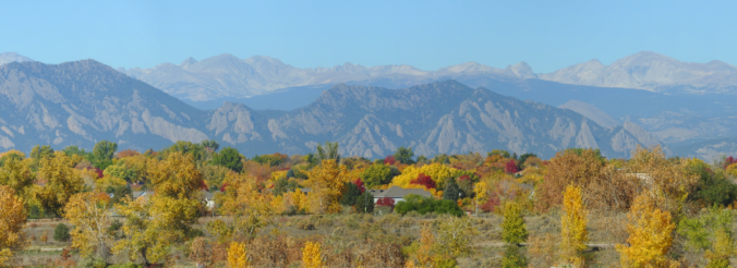
The run of beautifully warm autumn days is about to end with our first major storm of the season heading towards Colorado! It will bring a slew of impactful weather Sunday into Monday, including heavy mountain snow, dangerous fire conditions, blowing dust, strong downslope winds, and a chance of the first snowflakes of the season in the Denver area. We discuss the latest on the incoming storm and who will see which flavors of crazy weather over the next 36 hours.


Live Radar

Trending Content


Recent Premium Posts

This Weekend in Colorado Weather: The Quiet Pattern Ends as Storm Activity Picks Up Across the West
After weeks of sunshine, mild afternoons, and storm systems repeatedly missing Colorado to …
BoulderCAST Daily – Wed 11/11/26 | Mild Days Ahead, But There Are Signs of a More Active November Soon
☀️ Warm & Quiet — Sunshine dominates through Thursday with highs rising from …
BoulderCAST Daily – Tue 11/10/26 | Clouds Increase Today, But Colorado’s Dry Pattern Rolls On
🌤️ A Few More Clouds Today – Mountain wave clouds are developing along …
© 2026 Front Range Weather, LLC