


Warm temperatures will be the story through midweek in the 60s to near 70 degrees with a ridge of high pressure slowly sliding eastward, including picture-perfect conditions for Halloween evening festivities. However, the pattern shifts much colder and potentially snowy late Thursday into Friday. There remains considerable model uncertainty right now but there are definitely good chances for snow later in the week. Stay tuned and read on for more details.
Author: Andy (Page 86 of 224)
Born and raised in St. Louis, Andrew obtained a Ph.D. in Atmospheric Science from the University of Colorado in 2015. From 2015 to 2020, he worked remotely in Boulder as an atmospheric scientist with NOAA's Atlantic Oceanographic and Meteorological Laboratory in Miami. Andy is now a full-time meteorologist.
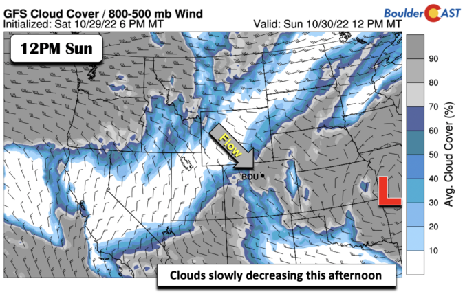
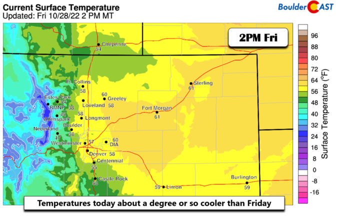
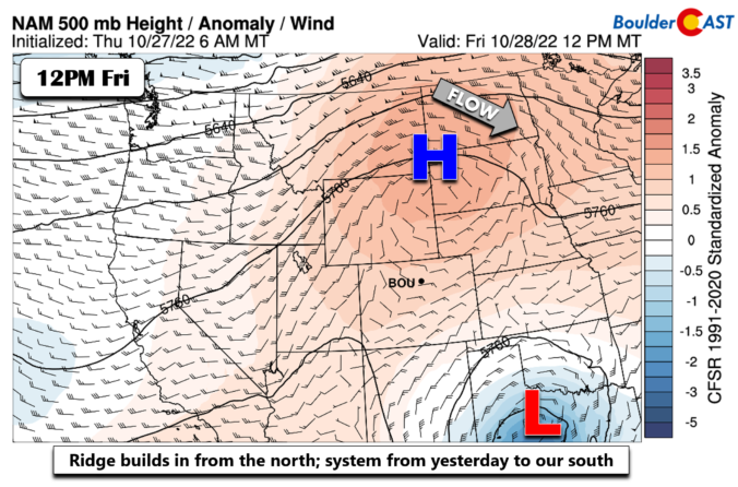
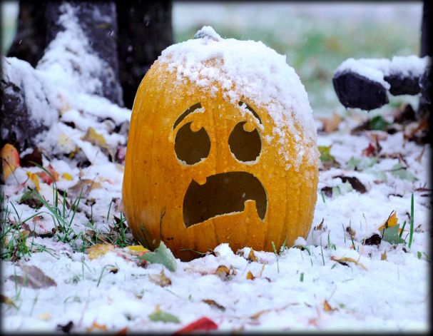
The first potential accumulating snow event of the season is knocking on the door! A quick-moving system will scoot across Colorado late Wednesday night into Thursday bringing a period of precipitation to the area. Temperatures will be just cold enough for rain to change to snow across most of the Front Range and likely will accumulate on grassy surfaces a tad. Weather models remain torn on exactly how much snow will fall with this system as there are signs that some more moderate snow bands may form. We discuss the latest developments on the storm and provide our snowfall forecast map.

Live View of Boulder

Current Conditions

Live Radar

Latest Smoke Forecast

Recent Premium Posts

BoulderCAST Daily – Sun 09/27/26 | A Mild Sunday, Followed by Wet Weather This Week
☀️ Mild Sunday — Highs well into the lower 80s with a few …
BoulderCAST Daily – Sat 09/26/26 | Quiet Weather, But Wet Weather Is Brewing Next Week Tied To A Tropical System
☀️ Weekend calm — Weather is quiet this weekend in the lower 80s …
BoulderCAST Daily – Fri 09/25/26 | A Stormy Friday, Followed by a Quiet Weekend
🌧️ Friday storms — Another wave brings afternoon scattered showers and storms ☀️ …
3-Day Forecast

Trending Content



© 2026 Front Range Weather, LLC