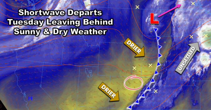
Yesterday's shortwave disturbance, the one which brought overcast skies and a few raindrops to the Denver Metro area, has kicked off into the Dakotas overnight. As it exited, drier air has swept across Colorado from the northwest, beginning around 5PM yesterday for the Boulder area. This dry air will be in place today leading to a beautiful Tuesday for us …
We often show 500 mb vorticity forecast maps on the site. They provide a great “overview” or “first-look” at the large-scale weather set-up, with troughs and ridges clearly visible.