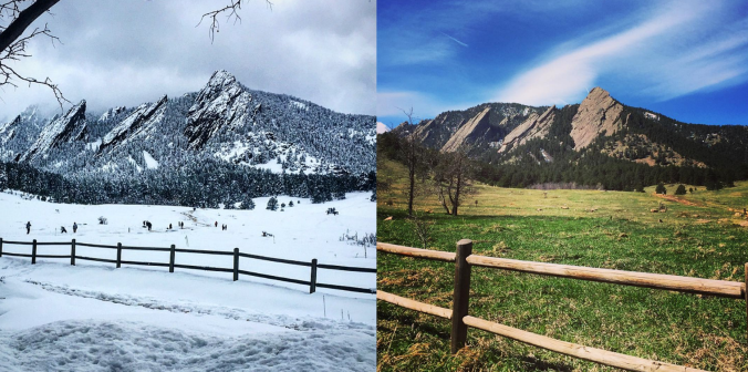
With April come and gone, we are now fully entrenched in the Spring season here in the Front Range. We take a look at current trends, past climatology, and offer our prediction for the month of May in northeast Colorado.
Tag: outlook (Page 1 of 2)
Have you noticed the drop in visibility across the Front Range over the last few days? This haziness is actually smoke from the 11,000+ acre Tinder Fire currently burning in central Arizona. This may only be a foreshadow of things to come later this summer as parts of southwestern Colorado and the Four Corners region have recently shifted into the most severe drought classification. We provide an update on the situation and take a look at snowpack statewide.
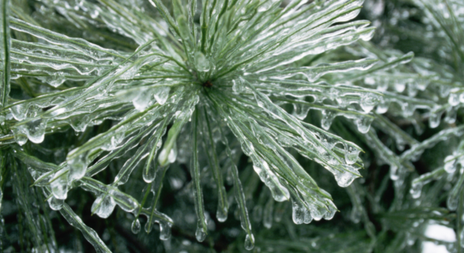
This winter has slowly become the “Winter of Freezing Drizzle” for the Front Range. Many of you have reached out to us wondering why there has been so many occurrences this year in particular. In short, the finger can be pointed at La Niña. However, the true answer is a little more complex.
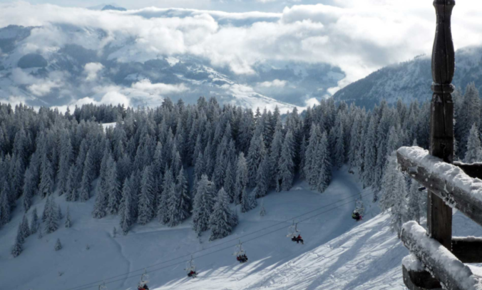
Beginning last Friday, snowfall has been falling intermittently across the Mountains of Colorado resulting from several shortwaves and pockets of moisture hanging out in the northwest flow. The most recent pulse which occurred from Monday morning into Tuesday afternoon generated snow totals of 7 to 15″ across much of the High Country. For the first time this winter, skiing was actually decent on Tuesday! Despite this, snowpack remains disconcertingly low statewide. We check-in on the status of our snowpack and provide our thoughts on another system eyeing the Front Range this weekend.
This week’s weather will be rather tranquil, with temperatures overall above average for this time of year. However, we are watching a cold front for Wednesday and a trough late in the week that could bring snowfall to the region. We detail all this and more in our weekly outlook for the third week of November.
This week’s weather is front-loaded with light snow and colder temperatures Monday night into Tuesday. We discuss potential snow accumulations for the Front Range, then detail quiet and seasonal conditions returning for the remainder of the week.
We hope you enjoyed the Columbus Day holiday! In this special weekly outlook, we provide a brief recap of yesterday’s snowstorm, announce the winners of our 2017 First Snow Contest, and detail the warm and sunny weather about to make a rebellious stand across Colorado.
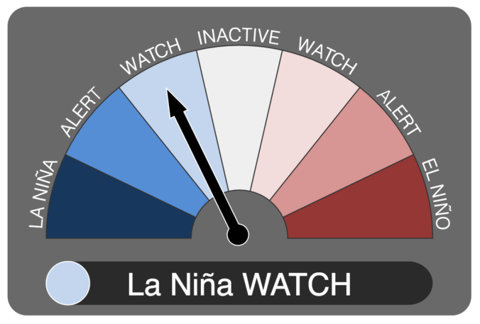
It now appears we may be headed into our second consecutive La Niña winter. We discuss the forecast, remind you what La Niña actually is, and explain potential impacts on Colorado for this winter.
© 2026 Front Range Weather, LLC

