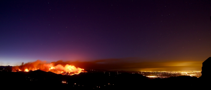
Dry and unseasonably warm conditions will continue across eastern Colorado for much of the week ahead. We discuss this along with an uncertain but interesting weather system for the upcoming weekend.
Tag: La Nina (Page 1 of 3)
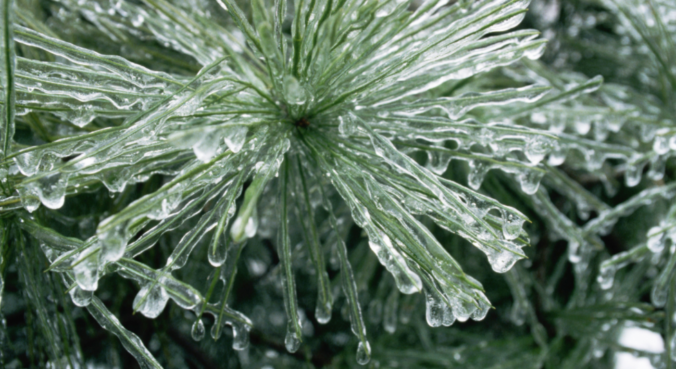
This winter has slowly become the “Winter of Freezing Drizzle” for the Front Range. Many of you have reached out to us wondering why there has been so many occurrences this year in particular. In short, the finger can be pointed at La Niña. However, the true answer is a little more complex.
We discuss the forecast for snow on Thursday and how the weather pattern is shaping up heading into the holiday season.
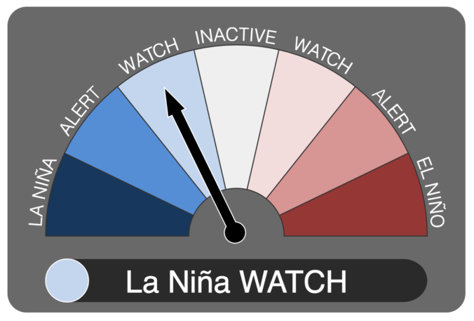
It now appears we may be headed into our second consecutive La Niña winter. We discuss the forecast, remind you what La Niña actually is, and explain potential impacts on Colorado for this winter.
Contrary to the active pattern of late, not much is on the table for the week ahead. The recent storm track that has been pummeling Colorado with storm after storm of late has receded northward for the time being. Continue reading as we discuss the implications of this pattern shift, including the outlook for the ski resorts over the next seven days.
After experiencing near-record snowfall last winter with a historically strong El Niño in place, the better part of the last year has seen below normal precipitation across most of eastern Colorado. Drought has continued to expand and intensify through the winter season. However, a fruitful pattern shift is ahead, beginning with our first spring storm of the year! Continue reading as as we provide an update on the drought and our thoughts on the upcoming storm.
Snow that fell Sunday night into Monday continues to melt as warmer temperatures have taken hold the last few days across the Front Range. We review the totals from the event earlier in the week, check in on our Mountain snowpack, and detail what’s on-tap for Thursday night as another chance of snow arrives.
We start this week on the cold and snowy side with an area of low pressure off to our east in Kansas. However, a welcomed ridge of high pressure will take over through much of the remainder of the week and lead to a really nice warm-up. We’re also tracking the potential for a more active weather pattern towards the weekend. Read on for all the details of the weather week ahead.
© 2026 Front Range Weather, LLC

