



Page 70 of 585
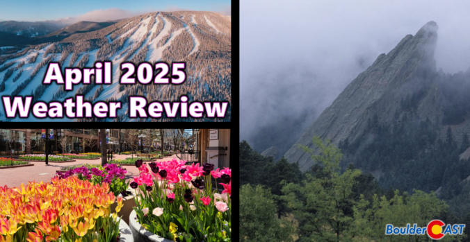
April 2025 was a mild and mostly dry month across the Front Range, with almost all of the precipitation coming via a mid-month snowstorm that blanketed Boulder in 8 inches of slop. Here’s a quick and colorful graphical recap of our weather during April and how it relates to climatology.
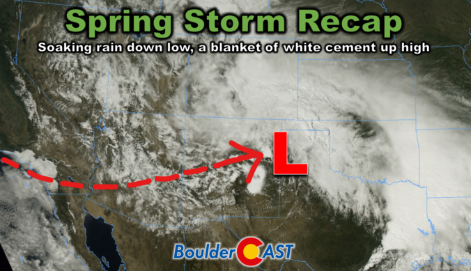
This week’s slow-moving spring storm drenched the Boulder-Denver area with widespread soaking rain, while elevations above 7,500 feet were blanketed in dense, heavy snow. As the storm begins to wind down, we take a look at how it unfolded and review the final rain and snow totals.
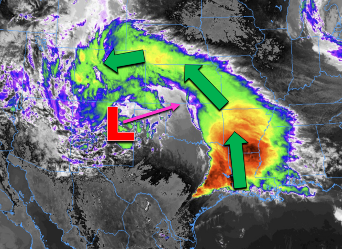
Many of us have already received more than one inch of rain, and this storm isn’t over quite yet. Scattered showers and a few thunderstorms will continue through Wednesday (with snow in the highest Foothills). We review the regional rain and snowfall totals so far, and discuss the latest forecast details, including when we expect this pesky spring storm to finally loosen its grasp on the Front Range.
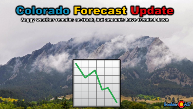
We hate to be the bearer of bad news, but almost every single weather model has taken a significant nosedive in precipitation output for the remainder of the storm Tuesday into Wednesday. We discuss this latest data, what factors have contributed to the shift, and provide our final snowfall and precipitation forecast maps for what may end up being an underwhelming spring storm in the Front Range.

Live View of Boulder

Current Conditions

Live Radar

Latest Smoke Forecast

Recent Premium Posts

BoulderCAST Daily – Sun 09/27/26 | A Mild Sunday, Followed by Wet Weather This Week
☀️ Mild Sunday — Highs well into the lower 80s with a few …
BoulderCAST Daily – Sat 09/26/26 | Quiet Weather, But Wet Weather Is Brewing Next Week Tied To A Tropical System
☀️ Weekend calm — Weather is quiet this weekend in the lower 80s …
BoulderCAST Daily – Fri 09/25/26 | A Stormy Friday, Followed by a Quiet Weekend
🌧️ Friday storms — Another wave brings afternoon scattered showers and storms ☀️ …
3-Day Forecast

Trending Content



© 2026 Front Range Weather, LLC