



Page 63 of 585
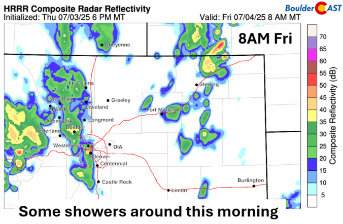

A shifting weather pattern is on the way as we head into the holiday weekend along the Front Range. Thursday will bring the heat and mostly dry skies, but things could get a bit more unsettled as we head into the Fourth of July and the weekend. If you’ve got outdoor plans in the coming days, here’s what to keep an eye on.
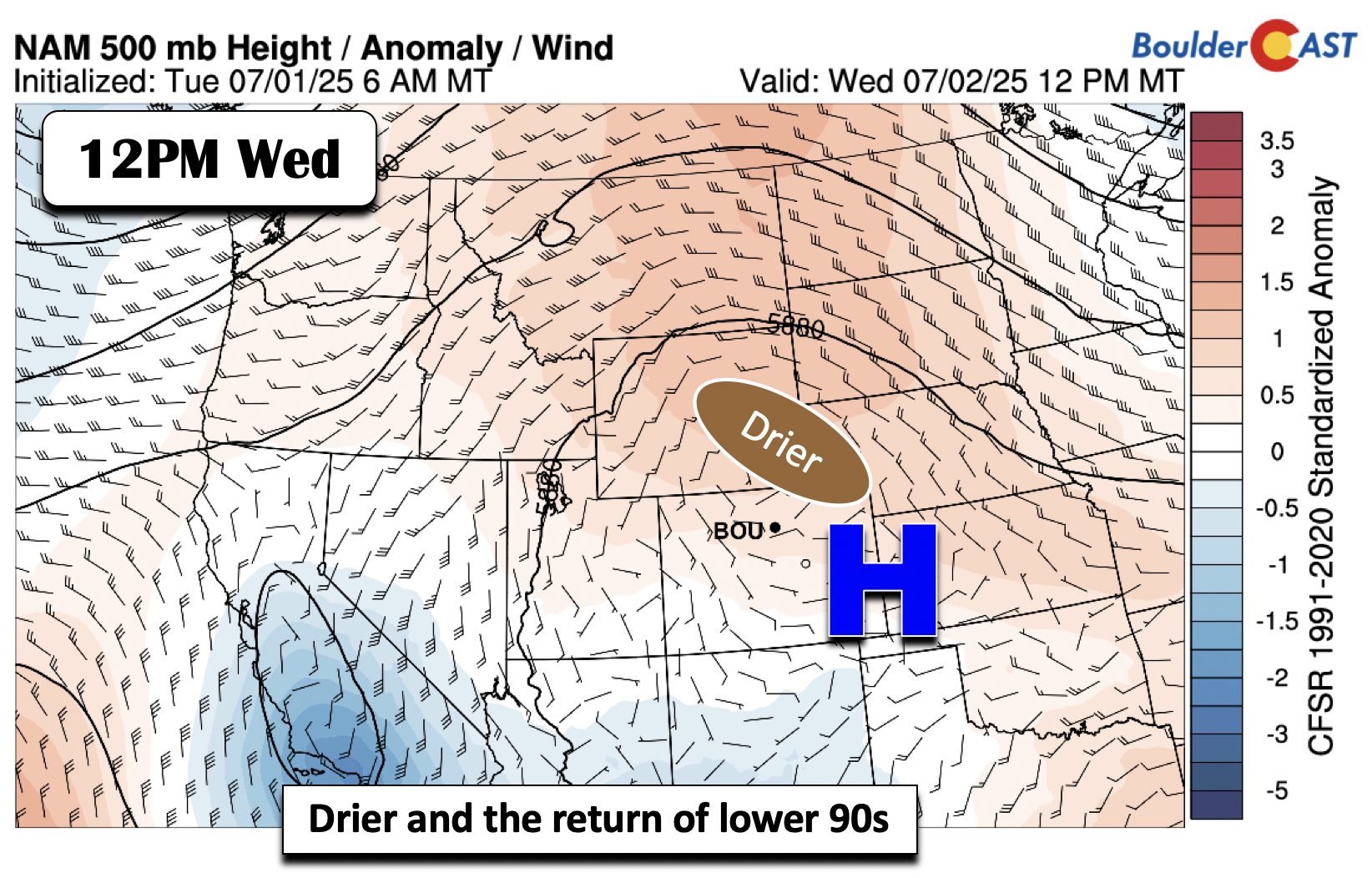
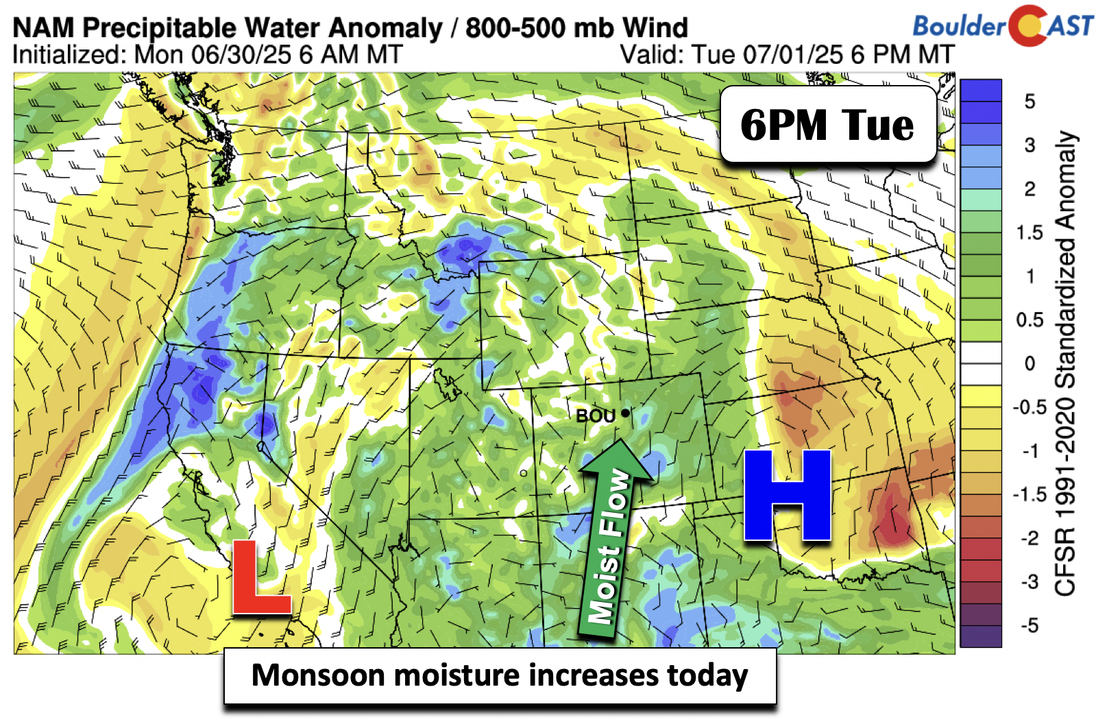
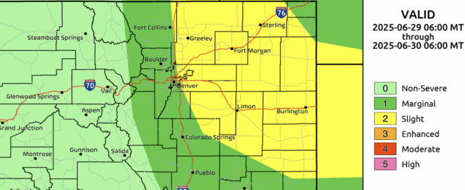
Monsoon season kicks off right on time this week, bringing a steady stream of moisture from Mexico into the Southwest and central Rockies. While daily storm chances are on tap for the Front Range, coverage looks hit-or-miss, with Wednesday shaping up to be the warmest and driest day. Expect highs ranging from the 70s to mid-90s as the pattern evolves. We also need to keep an eye on the forecast heading into Fourth of July weekend as scattered storms will be in the mix.
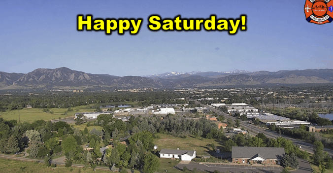

Live View of Boulder

Current Conditions

Live Radar

Latest Smoke Forecast

Recent Premium Posts

BoulderCAST Daily – Sun 09/27/26 | A Mild Sunday, Followed by Wet Weather This Week
☀️ Mild Sunday — Highs well into the lower 80s with a few …
BoulderCAST Daily – Sat 09/26/26 | Quiet Weather, But Wet Weather Is Brewing Next Week Tied To A Tropical System
☀️ Weekend calm — Weather is quiet this weekend in the lower 80s …
BoulderCAST Daily – Fri 09/25/26 | A Stormy Friday, Followed by a Quiet Weekend
🌧️ Friday storms — Another wave brings afternoon scattered showers and storms ☀️ …
3-Day Forecast

Trending Content



© 2026 Front Range Weather, LLC